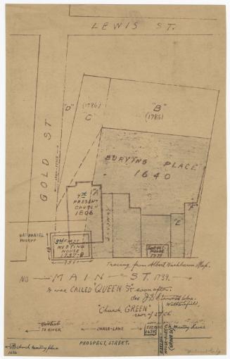
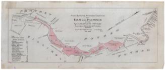
Old Mill Property Purchases and Mill Locations
Date20th century
MediumDrawing; black and blue ink and pencil on wove paper
DimensionsPrimary Dimensions (image height x width): 8 3/8 x 10 7/8in. (21.3 x 27.6cm)
Sheet (height x width): 8 3/8 x 10 7/8in. (21.3 x 27.6cm)
Sheet (height x width): 8 3/8 x 10 7/8in. (21.3 x 27.6cm)
ClassificationsGraphics
Credit LineConnecticut Museum of Culture and History collection
DescriptionMap of what is probably Manchester, Connecticut, depicting George and Timothy Cheney's land purchases and the locations of the saw, silk and grist mills, distillery, and homestead. The names of the original landowners and the dates of sale are provided. Blue lines represent Hop Brook.
Object number2004.160.0
InscribedRecto, bottom, printed in black ink: "OLD MILL PROPERTY PURCHASES / AND / MILL LOCATIONS / CHENEY BROTHERS"NotesCartographic Note: Scale: 1 inch equals 200 feetCollections
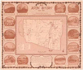
- Maps and Charts: Finding Your Place in Connecticut History
On View
Not on view