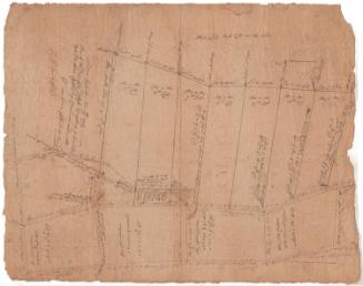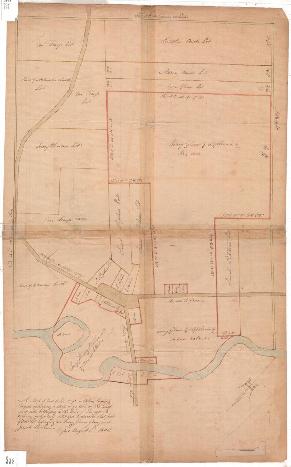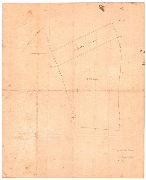
Lot survey
SurveyorSurveyed by
George Gillet
American, 1771 - 1853
Date1841
MediumDrawing; black ink on wove paper
DimensionsPrimary Dimensions (image height x width): 15 7/8 x 12 7/8in. (40.3 x 32.7cm)
Sheet (height x width): 15 7/8 x 12 7/8in. (40.3 x 32.7cm)
Sheet (height x width): 15 7/8 x 12 7/8in. (40.3 x 32.7cm)
ClassificationsGraphics
Credit LineGift of Lafayette J. Robertson, Jr.
DescriptionManuscript survey of two lots of land, presumably located somewhere in Connecticut, although there is no identifying information to indicate the location. The top lot is labeled "Sylvester", and its area in acres and length in an unknown unit of measurement. The bottom plot of land is not labeled with a name but contains similar measurements.
Object number1973.8.52
MarkingsVerso, center, stamped in blue ink: "CtHi"InscribedRecto, bottom right, handwritten in black ink: "Surveyed Sept. 1841 / by George Gillet"Verso: arithmetical calculations at the top left and right and bottom leftNotesCartographic Note: No scale
Collections
- Maps and Charts: Finding Your Place in Connecticut History
On View
Not on view