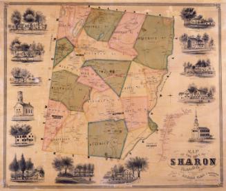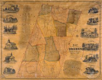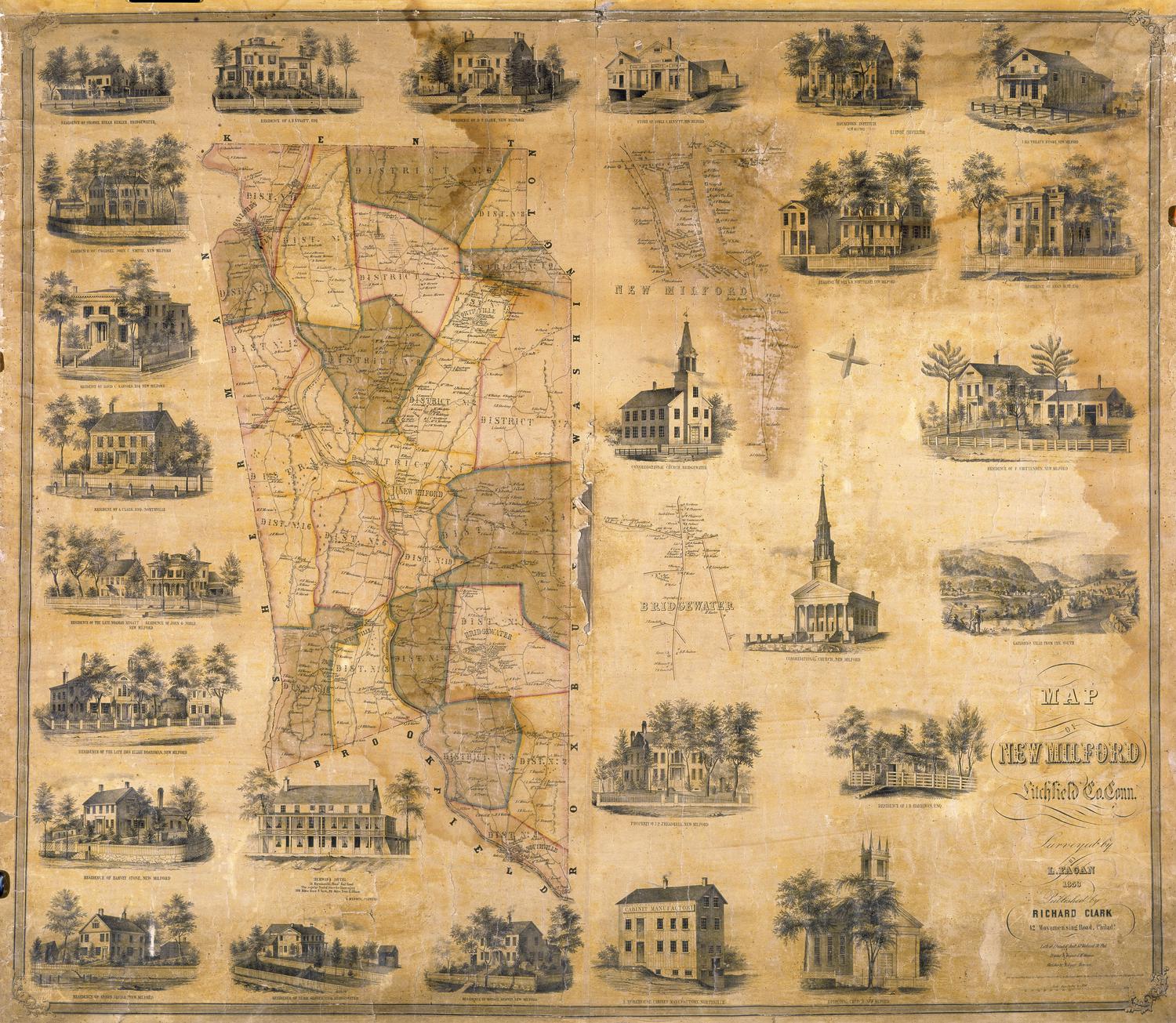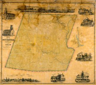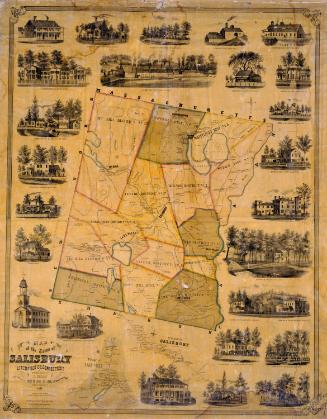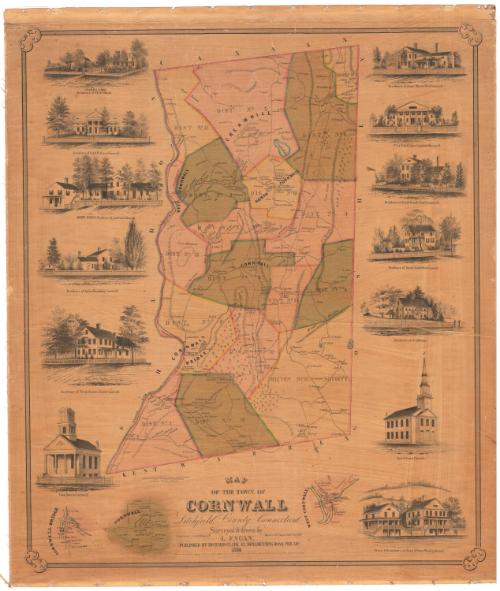
Map of the Town of Cornwall, Litchfield County, Connecticut
SurveyorSurveyed by
L. Fagan
American, born about 1825
DraftsmanDrawn by
L. Fagan
American, born about 1825
PrinterPrinted by
Wagner & McGuigan
American, 1845 - 1859
PublisherPublished by
Richard Clark
American
Date1854
MediumLithography; printer's ink and watercolor on wove paper mounted on linen
DimensionsPrimary Dimensions (image height x width): 38 1/2 x 32 5/8in. (97.8 x 82.9cm)
Sheet (height x width): 41 1/2 x 35 1/4in. (105.4 x 89.5cm)
Sheet (height x width): 41 1/2 x 35 1/4in. (105.4 x 89.5cm)
ClassificationsGraphics
Credit LineMuseum purchase
DescriptionMap of Cornwall, Connecticut, with the town of Canaan to the north, Goshen to the east, Warren and Kent to the south, and Sharon to the west. Small inset maps show the villages of Cornwall, Cornwall Bridge, and West Cornwall. The town is divided into fifteen numbered districts. Roads, streams, ponds, and mountains are shown. Elevation is indicated with hachure marks. Small trees are used to indicate wooded areas, suggesting that much of the town was deforested. Names of property owners and businesses are indicated. Vignettes show the Congregational Church, Cornwall; the residence of Noah Rogers (North Cornwall); the Residence of Julius Beardsley (Cornwall); the Adelphic Institute, residence of Ambrose S. Rogers; Residence of Col. D. W. Pierce (Cornwall); Cream Hill School, residence of S. W. & T. S. Gold; residence of Isaac Marsh (Cornwall); the Dr. J. A. Welch Alger Institute (Cornwall); the residence of Jacob Scovill (North Cornwall); the residence of Daniel S. Scovill (West Cornwall); the residence of Dr. J. H. Welch; the North Congregational Church; and the store and residence of Pratt & Foster (West Cornwall).
Object number1956.95.1
InscribedOn recto, lower center, printed in black ink "MAP / OF THE TOWN OF / CORNWALL / Litchfield County, Connecticut"On verso, lower right, in pencil, accession numberNotesCartographic Note: 3 inches = 1 mile
Collections
- Maps and Charts: Finding Your Place in Connecticut History
On View
Not on view