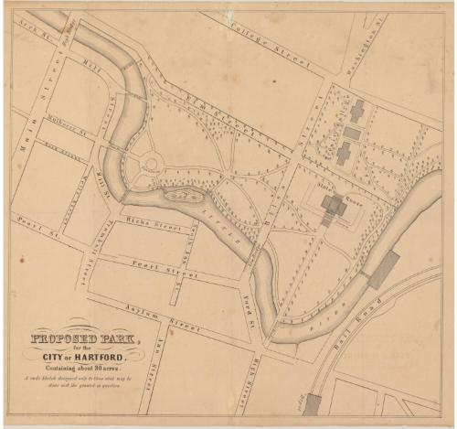
Proposed Park, for the City of Hartford, Containing about 30 acres
DraftsmanDrawn by
Seth E. Marsh
American, about 1823 - 1878
Date1858
MediumLithography; black printer's ink on wove paper
DimensionsPrimary Dimensions (image height x width): 18 1/16 x 19 3/8in. (45.9 x 49.2cm)
Sheet (height x width): 19 x 23 3/4in. (48.3 x 60.3cm)
Sheet (height x width): 19 x 23 3/4in. (48.3 x 60.3cm)
ClassificationsGraphics
Credit LineGift of Helen Mitchell
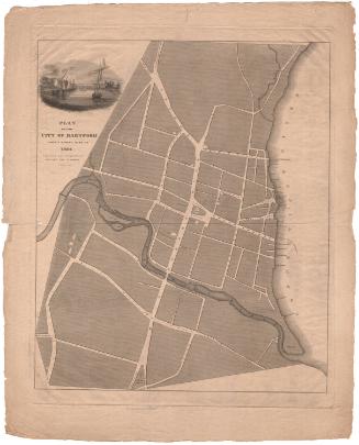
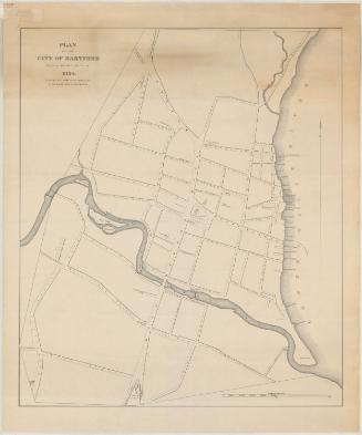
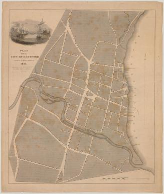
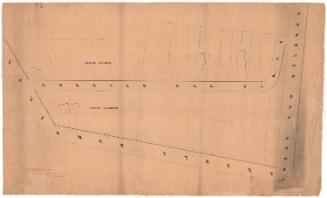
DescriptionMap of Hartford, Connecticut, oriented upside down on the map so that north and south are reversed, from College Street at the top of the sheet and Asylum Street at the bottom. It shows a proposal for what would become Bushnell Park, with the State House at the intersection of Elm and Bliss Streets and Trinity College at Bliss, College and Washington Streets. A fountain is depicted along the Little or Park River, with several footbridges across the river to Mill Street.
Object number1989.159.3
MarkingsRecto, top left, printed in black ink on sticker: "MAPS / Box / 241"InscribedRecto, bottom left, printed in black ink: "PROPOSED PARK, / for the / CITY OF HARTFORD, / Containing about 30 acres. / A rude Sketch designed only to Show what may be / done with the ground in question."Verso, top left corner, handwritten in pencil: "Maps / Flat / 33"
Center, handwritten in pencil: "89803"
Bottom center, handwritten in pencil: "Plan of Bushnell Park"NotesCartographic note: No scale
Collections
- Maps and Charts: Finding Your Place in Connecticut History
On View
Not on view