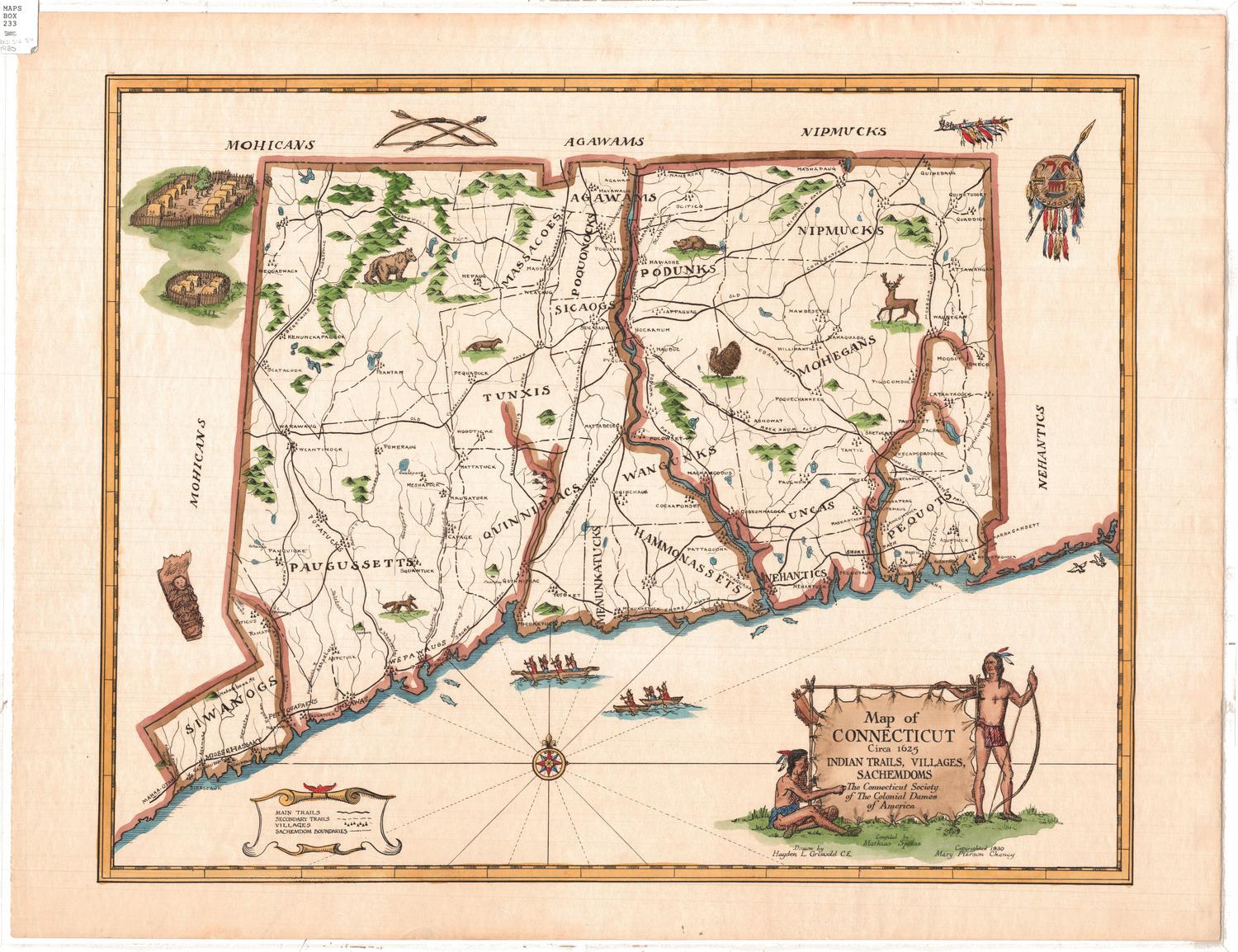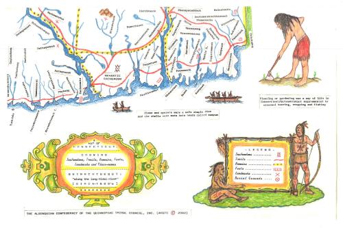
A Map of Connecticut: Showing Sachemdoms, Trails, Domains, Forts, Landmarks and Place-names
MakerCompiled and created by
Iron Thunderhorse
American, born 1950
PublisherPublished by
Algonquin Confederacy of the Quinnipiac Tribal Council, Inc.
American, founded 1989
Date2002
MediumInkjet print; colored inks on wove paper
DimensionsPrimary Dimensions (image height x width): 21 5/8 x 33 1/2in. (54.9 x 85.1cm)
Sheet (height x width): 21 5/8 x 33 1/2in. (54.9 x 85.1cm)
Sheet (height x width): 21 5/8 x 33 1/2in. (54.9 x 85.1cm)
ClassificationsGraphics
Credit LineMuseum purchase
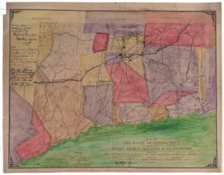
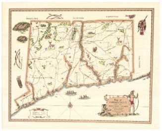
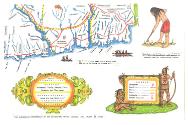
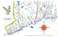
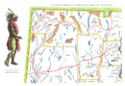
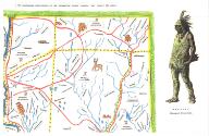
DescriptionFour-part reproduction map of the state of Connecticut, divided into Algonquian domains, primarily depicting sachemdoms and Native American place-names. Trails are shown in red, forts as a series of four boxes, landmarks as "x"s, and burial grounds as a circle with a dot in it. In the white space around the map are depictions of Hobbomock and Maushop, Algonquian stone giants, a bird of prey with a fish in its talons, and a Native American man gardening. Two canoes are shown in the space below the map, with a sentence describing the use of clams and oysters in diet and bead-making. The legend, in the bottom right corner, features two traditionally-dressed Algonquian men, one holding a bow and the other sitting with a quiver of arrows above him. Natural features include rivers; elevation, conveyed with clusters of peaks; and islands. Drawings of turkeys, bear, beavers and deer are scattered across the map. Accompanying the map is a three-page list of place-name definitions.
Object number2002.309.0a-d
MarkingsVerso, all four sheets, bottom, stamped in black ink: "Connecticut Historical Society / Library"InscribedRecto, top, printed in black ink: "THE ALGONQUIAN CONFEDERACY OF THE QUINNIPIAC TRIBAL COUNCIL, INC. (ACQTC © 2002)"Lower left, printed in black ink: "COMPILED AND CREATED BY: / Biwabiko Paddaquahas / (Iron Thunderhorse) / Thunder Clan Grand Sachem"
Bottom left, printed in black ink: "A / MAP OF / CONNECTICUT: / SHOWING / Sachemdoms, Trails, Domains, Forts, / Landmarks and Place-names / QUINNEHTUKQUT: / "along the long-tidal-river" / [CIRCA-1600's]"
Bottom, printed in black ink: "THE ALGONQUIAN CONFEDERACY OF THE QUINNIPIAC TRIBAL COUNCIL, INC. (ACQTC © 2002)"
Verso, all four sheets, bottom, handwritten in pencil: "98021"
NotesCartographic Note: No scale
Collections
- Maps and Charts: Finding Your Place in Connecticut History
On View
Not on view