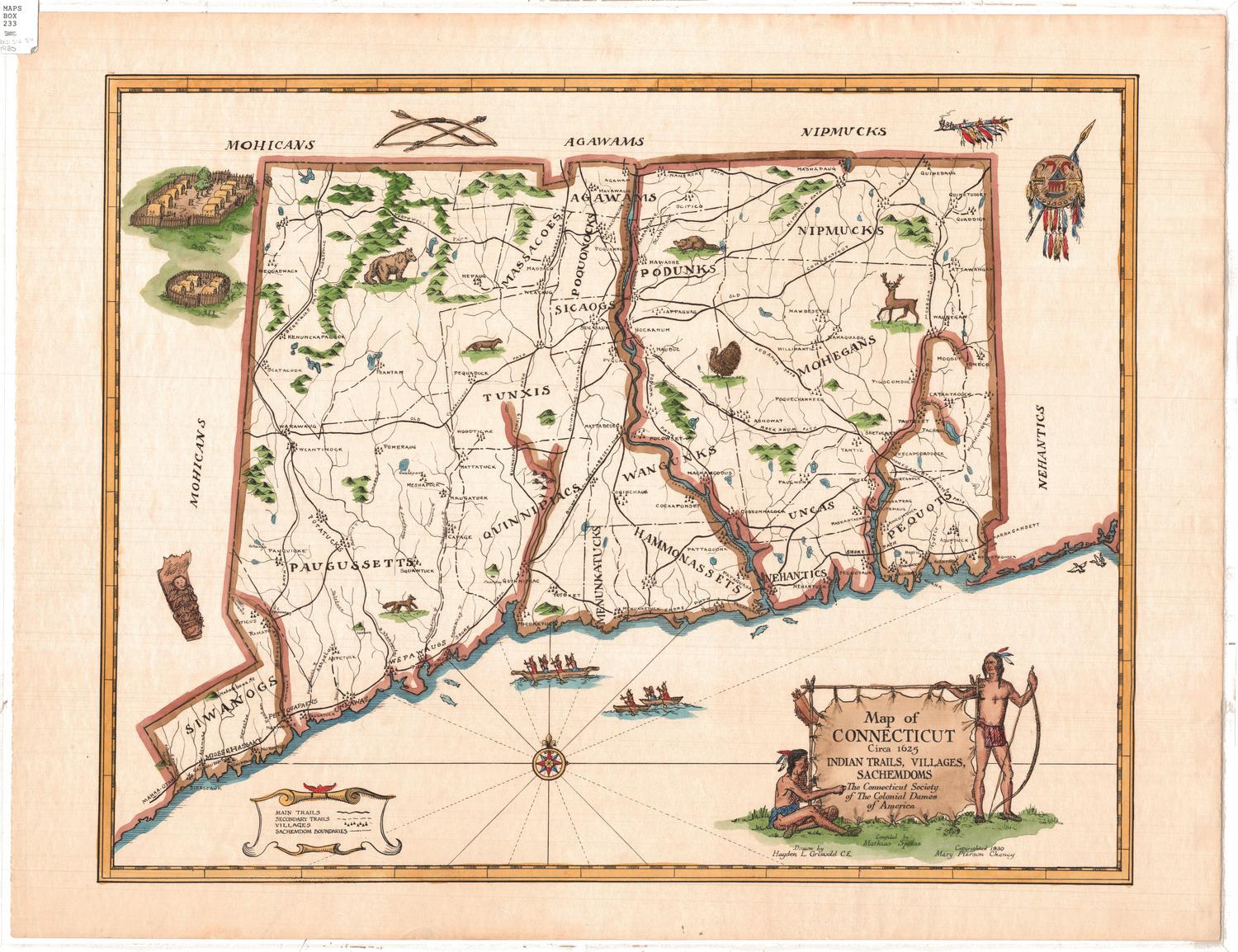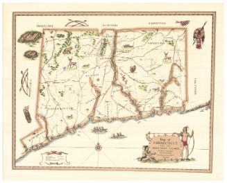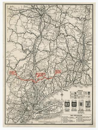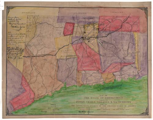
Map of the State of Connecticut showing Indian Trails, Villages, & Sachemdoms
MakerCompiled by
Mathias Spiess
American, 1873 - 1959
DraftsmanDrawn by
Hayden L. Griswold
American, 1892 - 1985
Date1930
MediumPhotography and drawing; photostat, ink and watercolor on paper, lined with Japanese paper
DimensionsPrimary Dimensions (image height x width): 15 1/8 x 20in. (38.4 x 50.8cm)
Sheet (height x width): 16 3/8 x 21in. (41.6 x 53.3cm)
Sheet (height x width): 16 3/8 x 21in. (41.6 x 53.3cm)
ClassificationsGraphics
Credit LineConnecticut Museum of Culture and History collection
DescriptionMap of Connecticut depicting the sachemdoms of the Siwanog, Paugussett, Massacoe, Tunxis, Quinnipiac, Agawam, Poquonock, Sicaog, Podunk, Wangunk, Menunkatuck, Hammonasset, Nipmuck, Mohegan, Unca, Nehantic and Pequot tribes. The sachemdoms are distinguished by boundary lines and different colors. Main trails, secondary trails, villages and forts are also shown on the map. Elevation is conveyed through hachure marks.
Object number2012.312.66
MarkingsRecto, top left, printed in black ink on sticker: "Maps / Box / 233 / c. 2"Verso, on brown kraft paper adhered to map, printed in black ink: "UNITED STATES / GOVERNMENT PRINTING OFFICE / DIVISION OF PUBLIC DOCUMENTS / WASHINGTON, D.C. / OFFICIAL BUSINESS / CONGRESSIONAL RECORD / POSTMASTER - IF FORWARDED TO A NEW ADDRESS, NOTIFY SENDER ON / FORM 3547 / PENALTY FOR PRIVATE USE TO AVOID / PAYMENT OF POSTAGE, $300 / HANDLE AS DAILY PAPERS"
On brown kraft paper adhered to map, typed in blue ink: "Mathias Spiess / 6 Eastland Drive / Manchester / Conn / 52 R"InscribedRecto, top left, handwritten in black ink: "Drawn from / Mathias Spiess' / original by / Hayden L. Griswold C.E. / Mathias Spiess [underlined]"
Handwritten in black ink: "N.B. / Many small footh [foot] paths / omitted - see my note / book for details - I / mentioned some in / "The History of Manch- / ester, Conn." / M. Spiess"
Handwritten in black ink: "Note. Mrs. Cheney / suggested to / leave off / all, or some of local / paths so as not to / "clutter the map" / and confuse / the through trails."
Bottom right, printed in black ink: "MAP OF / THE STATE OF CONNECTICUT / SHOWING / INDIAN TRAILS, VILLAGES, & SACHEMDOMS / MADE FOR / THE CONNECTICUT SOCIETY OF THE COLONIAL DAMES OF AMERICA / INFORMATION COMPILED BY / MATHIAS SPIESS / Mathias Spiess [signature] / DRAWN BY / HAYDEN L. GRISWOLD C.E. / PRESENTED BY / MRS. MARY PIERSON CHENEY / A.D. 1930"
Verso, top right, handwritten in black ink: "Master Map (Work Map) / of Trails and foot paths / Villages and Sachemdoms / of Conn."NotesCartographic note: No scale
Collections
- Maps and Charts: Finding Your Place in Connecticut History
On View
Not on view