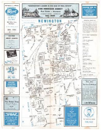
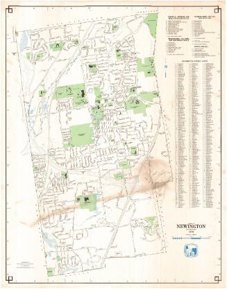
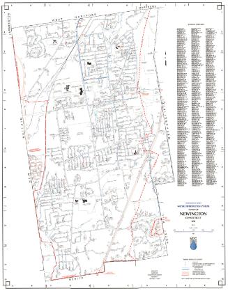
Map of Newington, Connecticut
DraftsmanDrawn by
P. N. Agogliati
American, born 1921
MakerUnder the supervision of
Edward C. Fresen
American, 1907 - 1970
After a work byAfter a work by
Metropolitan District Commission
American, founded 1929
Date1961
MediumLithography; black printer's ink on wove paper with notes in pink pencil and graphite
DimensionsPrimary Dimensions (image height x width): 18 x 28in. (45.7 x 71.1cm)
Sheet (height x width): 19 x 35 1/2in. (48.3 x 90.2cm)
Sheet (height x width): 19 x 35 1/2in. (48.3 x 90.2cm)
ClassificationsGraphics
Credit LineConnecticut Museum of Culture and History collection
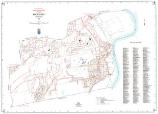
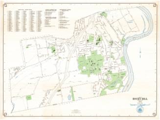
DescriptionMap of Newington, Connecticut, with New Britain and Farmington to the north, West Hartford and Hartford to the east, Wethersfield and Rocky Hill to the south, and Berlin to the west. Streams, streets, schools, hospitals, parks, town property, and the New York, New Haven and Hartford Railroad are shown. A street index is at the right. Notes in pink pencil include x's on Vivian Street and Summit Street and a line, partially broken, from lower left to upper center. Cedarcrest Hospital and the Newington Hospital for Crippled Children are circled in graphite.
Object number2012.312.276
MarkingsOn recto, lower right, stamped in blue ink, "190"On verso, lower right, stamped in red ink, "CtHi"InscribedOn recto, lower left, printed in black ink, "MAP OF / NEWINGTON / CONNECTICUT / SCALE 1" = 500' JAN 1942 / DRAWN UNDER SUPERVISION OF / E.C. FRESEN / BY / P.M. AGOLIATI"; lower center, printed in black ink, "THIS MAP IS BASED ON TRIANGULATION AND TRAVERSE OF THE / METROPOLITAN DISTRICT SURVEY AND TRAVERSE OF FERA PROJECT / 93-F2-21. ORIGIN OF PLANE COORDINATES IS STATION 'WHITE SPIRE.'"
On verso, lower right, in pencil, "99705" / "2012.312.276"NotesCartographic Note: One inch equals 500 feet
Collections
- Maps and Charts: Finding Your Place in Connecticut History
On View
Not on view