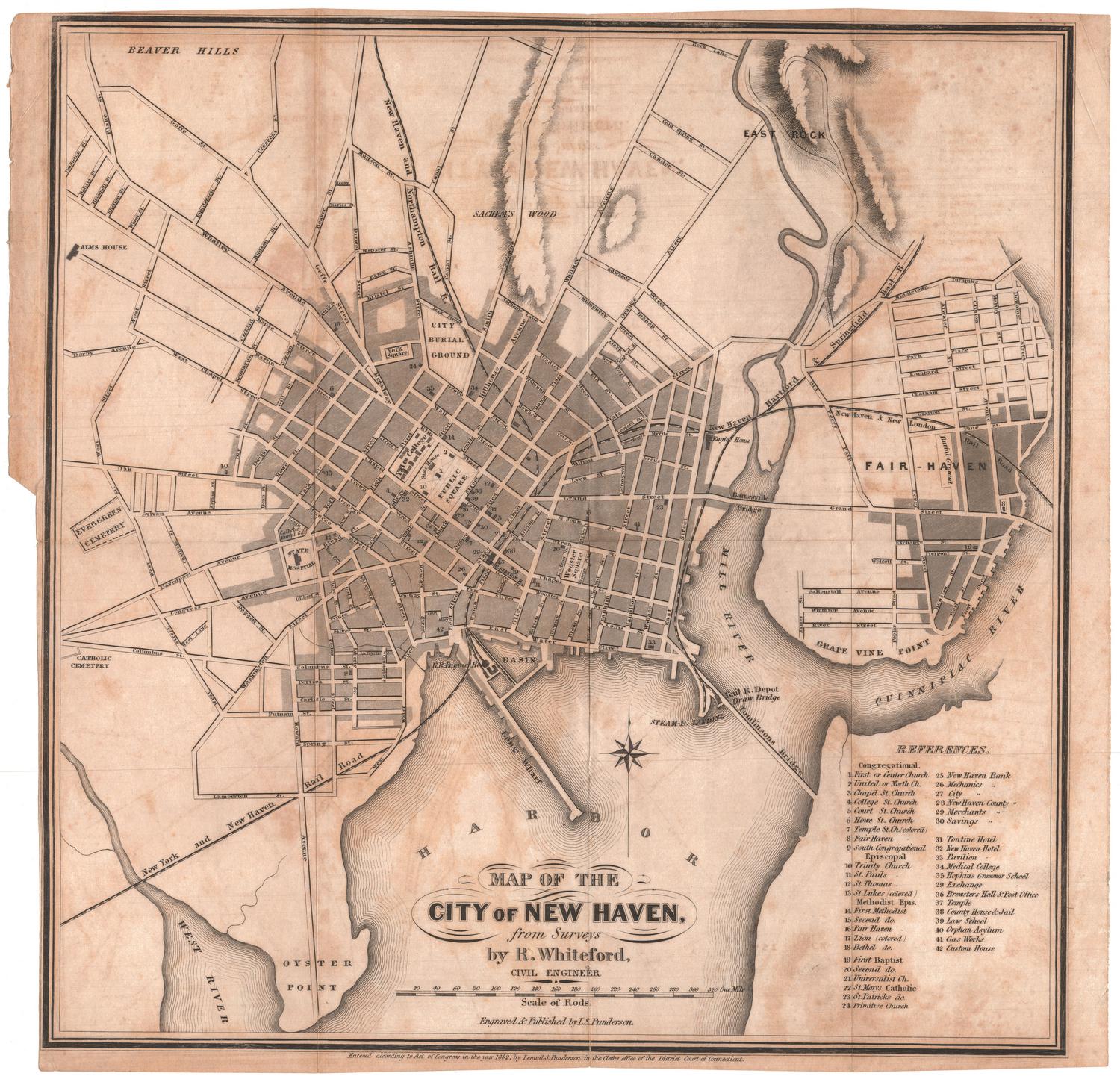
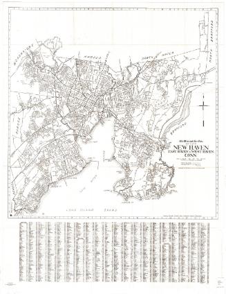
Map of the City of New Haven from Surveys
SurveyorSurveyed by
R. Whiteford
American
PrintmakerEngraved by
Lemuel S. Punderson
American, 1824 - 1910
PrinterPrinted by
Lemuel S. Punderson
American, 1824 - 1910
PublisherPublished by
Lemuel S. Punderson
American, 1824 - 1910
Date1852
MediumEngraving; black printer's ink on wove paper
DimensionsPrimary Dimensions (image height x width): 12 7/8 x 12 3/4in. (32.7 x 32.4cm)
Sheet (height x width): 13 1/4 x 13 3/4in. (33.7 x 34.9cm)
Sheet (height x width): 13 1/4 x 13 3/4in. (33.7 x 34.9cm)
ClassificationsGraphics
Credit LineMuseum purchase
DescriptionMap of the city of New Haven, Connecticut, from Beaver Hills and East Rock to the north, Fairhaven to the east, the New Haven Harbor to the south, and Evergreen Cemetery to the west. The streets are labeled and churches, banks, hotels and public buildings are represented by black rectangles. The buildings are numbered and named in the corresponding references list. Also shown are the city burial ground, York Square, Yale College, the State House, State Hospital, Alms House, Public Square and Wooster Square. Sachem's Wood is located to the north of the city. Between New Haven and Fairhaven are the Mill River and the Quinnipiac River; in the bottom left corner of the map, the West River is shown. The New York and New Haven Railroad; the New Haven and Northampton; the New Haven, Hartford and Springfield Railroad; and the New Haven and New London Railroad all run through the city. Elevation is conveyed through hachure marks.
Object number1951.35.0
MarkingsVerso, center, stamped in blue ink: "CtHi"InscribedRecto, bottom, printed in black ink: "MAP OF THE / CITY OF NEW HAVEN, / from Surveys / by R. Whiteford, / CIVIL ENGINEER"Bottom, printed in black ink: "Engraved & Published by L.S. Punderson."
Bottom, printed in black ink: "Entered according to Act of Congress in the year 1852, by Lemuel S. Punderson in the Clerks office of the District Court of Connecticut."
Verso, top left corner, handwritten in red ink: "59180"
Top center, handwritten in pencil: "Map / Box / 117"
Center, handwritten in pencil: "59180"
Bottom left corner, handwritten in pencil: "Map Box / 117"
Bottom right corner, handwritten in pencil: "59180"NotesCartographic Note: Scale: About 1/4 inch equals 20 rods
Collections
- Maps and Charts: Finding Your Place in Connecticut History
On View
Not on view


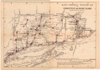
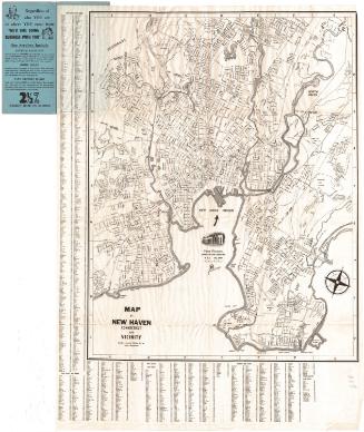
Blum's Commercial Map Publishing Company
1927-1928
R. A. Welcke Offset Co.
probably 1967