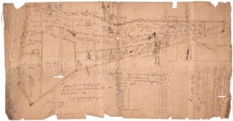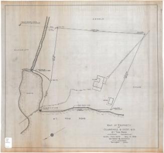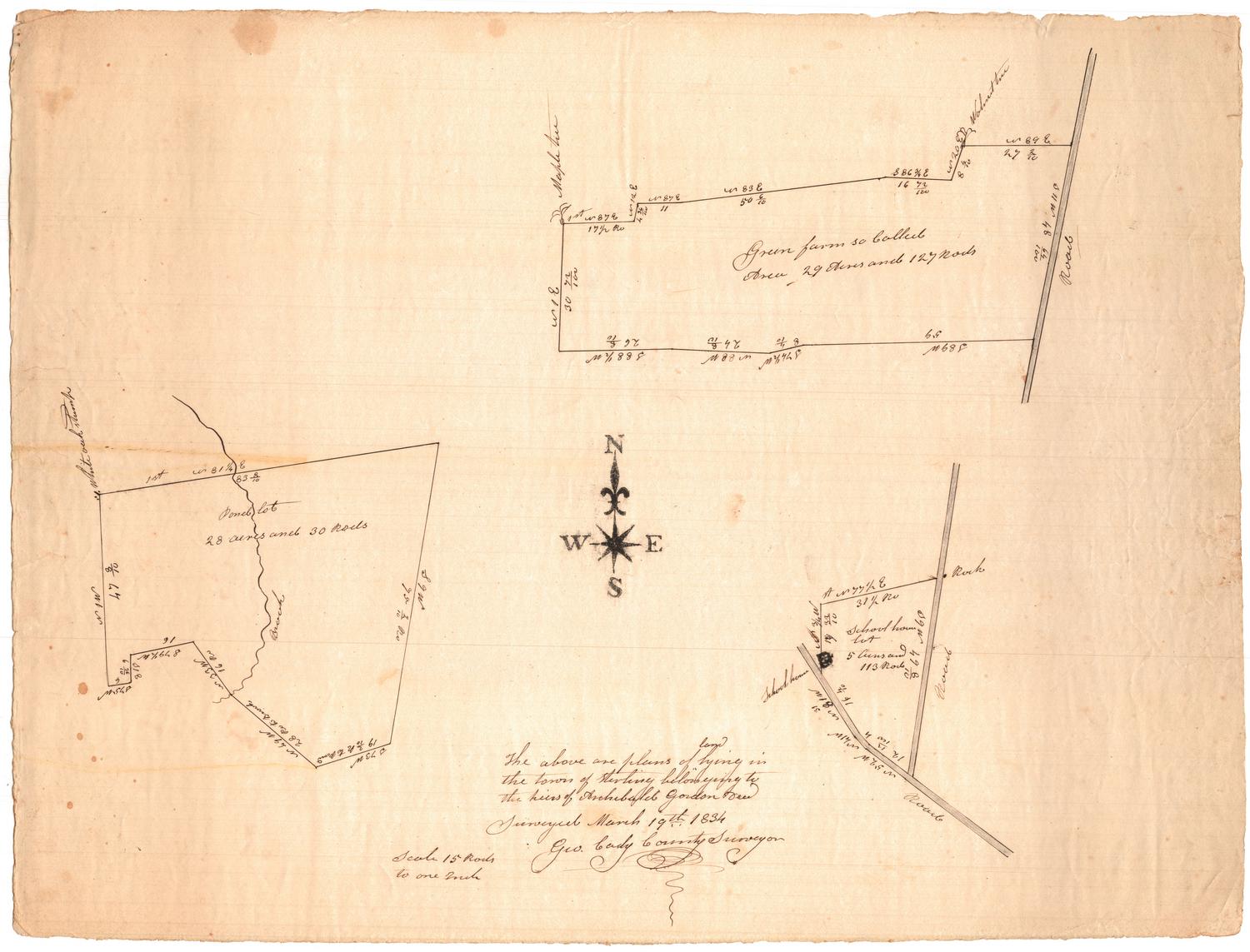
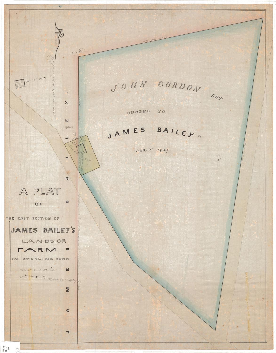
The above are plans of land lying in the town of Sterling belonging to the heirs of Archibald Gordon
SurveyorSurveyed by
George Cady
American, 1795 - 1865
Date1834
MediumDrawing; black ink on wove paper
DimensionsPrimary Dimensions (image height x width): 15 3/8 x 20 1/4in. (39.1 x 51.4cm)
Sheet (height x width): 15 3/8 x 20 1/4in. (39.1 x 51.4cm)
Sheet (height x width): 15 3/8 x 20 1/4in. (39.1 x 51.4cm)
ClassificationsGraphics
Credit LineMuseum purchase
DescriptionThree plat maps on one sheet of paper, depicting a farm lot, a schoolhouse lot and a pond lot. Geographic coordinates are given, as are dimensions in feet (presumably) and area in acres and rods. The only building depicted is the school house.
Object number1969.42.4
InscribedRecto, top right [in the "farm lot"]: "Green farm so called"Left side [in the "pond lot"]: "Pond lot"
Right side [in the "schoolhouse lot"]: "School house / lot"
Bottom, handwritten in black ink: "The above are plans of ^land lying in / the town of Sterling belonging to / the heirs of Archibald Gordon died [?] / Surveyed March 19th 1834 / Geo. Gady County Surveyor"
Verso, top left corner, handwritten in pencil: "1969-42-4"NotesCartographic Note: Scale: 1 inch equals 15 rods
Collections
- Maps and Charts: Finding Your Place in Connecticut History
On View
Not on view
William C. Stanton
1848