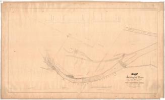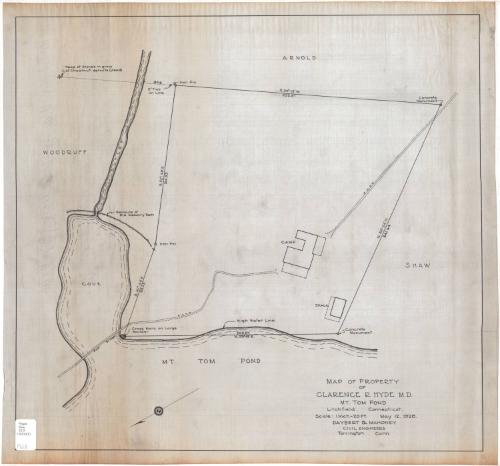
Map of Property of Clarence R. Hyde, M.D.
SurveyorSurveyed by
Daybert & Mahoney
American
DraftsmanDrawn by
Daybert & Mahoney
American
Date1928
MediumLithography; black printer's ink on waxed cloth
DimensionsPrimary Dimensions (image height x width): 21 x 22 1/2in. (53.3 x 57.2cm)
Sheet (height x width): 22 1/4 x 23 3/4in. (56.5 x 60.3cm)
Sheet (height x width): 22 1/4 x 23 3/4in. (56.5 x 60.3cm)
ClassificationsGraphics
Credit LineConnecticut Museum of Culture and History collection
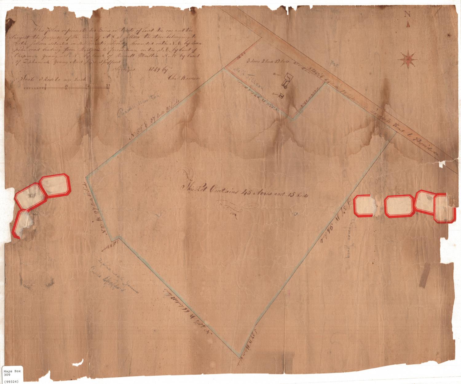
DescriptionMap of Clarence R. Hyde's property along Mt. Tom Pond in Litchfield, Connecticut. Arnold's property appears to the north, Shaw's to the east, and a cove and outlet to the west. The geographic coordinates and distance in feet of each side of the lot are given, as are the items that mark the corners: iron pins, concrete monuments, and a cross mark on a large boulder. A camp and a shack are the two buildings that are shown on Hyde's land, with a path across the property to a footbridge across the cove. The high water line is shown as being above where the property line is on the pond.
Object number2006.140.0
MarkingsRecto, bottom left corner, printed in black ink on sticker: "Maps / Box / 319 (99343)"InscribedRecto, bottom right, printed in black ink: "MAP OF PROPERTY / OF / CLARENCE R. HYDE, M.D. / MT. TOM POND / Litchfield, Connecticut. / Scale: 1 inch = 20 Ft. May 12, 1928 / DAYBERT & MAHONEY / CIVIL ENGINEERS / Torrington Conn."NotesCartographic Note: Scale: 1 inch equals 20 feetCollections
- Maps and Charts: Finding Your Place in Connecticut History
On View
Not on view