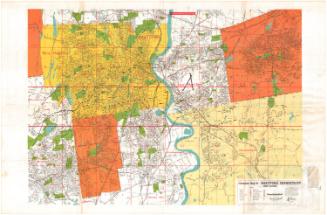
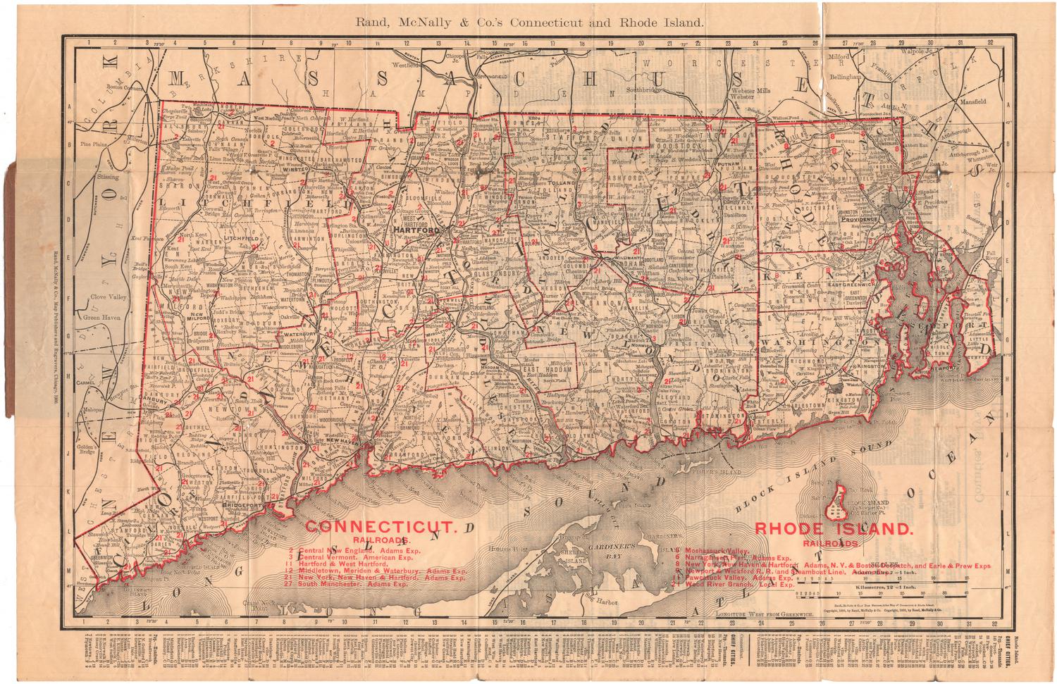
Map of City of Hartford
PrinterPrinted by
C. S. Axtell Company
American, active from about 1910 - about 1959
PublisherPublished by
Connecticut Valley Guide Co.
American
Date1931
MediumLithography; black printer's ink on wove paper
DimensionsPrimary Dimensions (image height x width): 18 1/2 x 19 1/8in. (47 x 48.6cm)
Sheet (height x width): 19 1/2 x 30in. (49.5 x 76.2cm)
Sheet (height x width): 19 1/2 x 30in. (49.5 x 76.2cm)
ClassificationsGraphics
Credit LineGift of Martin A. Gilman
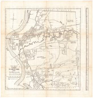
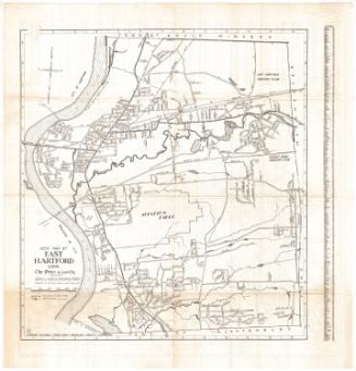
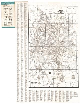
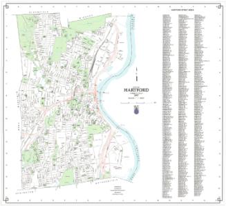
DescriptionPocket street maps of Hartford and West Hartford, Connecticut, and Springfield and East Springfield, Massachusetts. Schools, colleges and universities, parks, and hospitals are marked. The New York, New Haven and Hartford Railroad runs through both cities, and the Hartford map shows street-railroad lines. Street indexes and advertisements for local companies are also found next to both maps.
Object number2001.192.3
MarkingsRecto, top left, stamped in black ink: "Connecticut Historical Society / Library"InscribedRecto, top left, printed in black ink: "Maps of / CITY OF HARTFORD / CONNECTICUT / and / CITY OF SPRINGFIELD / MASSACHUSETTS / Published by / Connecticut Valley Guide Co. / Hartford, Connecticut / Springfield, Massachusetts"Top left, handwritten in pencil: "97355"
Bottom right, printed in black ink: "Map of / CITY OF HARTFORD / Published by / Connecticut Valley Guide Co. / Copyright/ Connecticut Valley Guide Co. / 1931"
Verso, top, printed in black ink: "MAP OF SPRINGFIELD / AND SUBURBS / Published by Connecticut Valley Guide Co. / Lithographed by C.S. Axtell Co. / COPYRIGHT 1931"NotesCartographic Note: Scale: 3 inches equals 1 mile
Collections
- Maps and Charts: Finding Your Place in Connecticut History
On View
Not on view