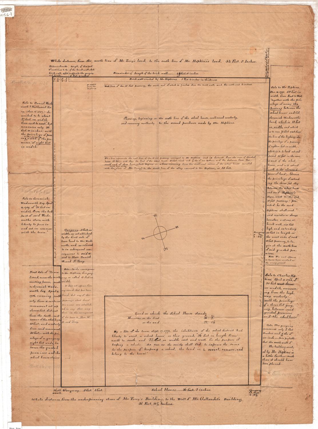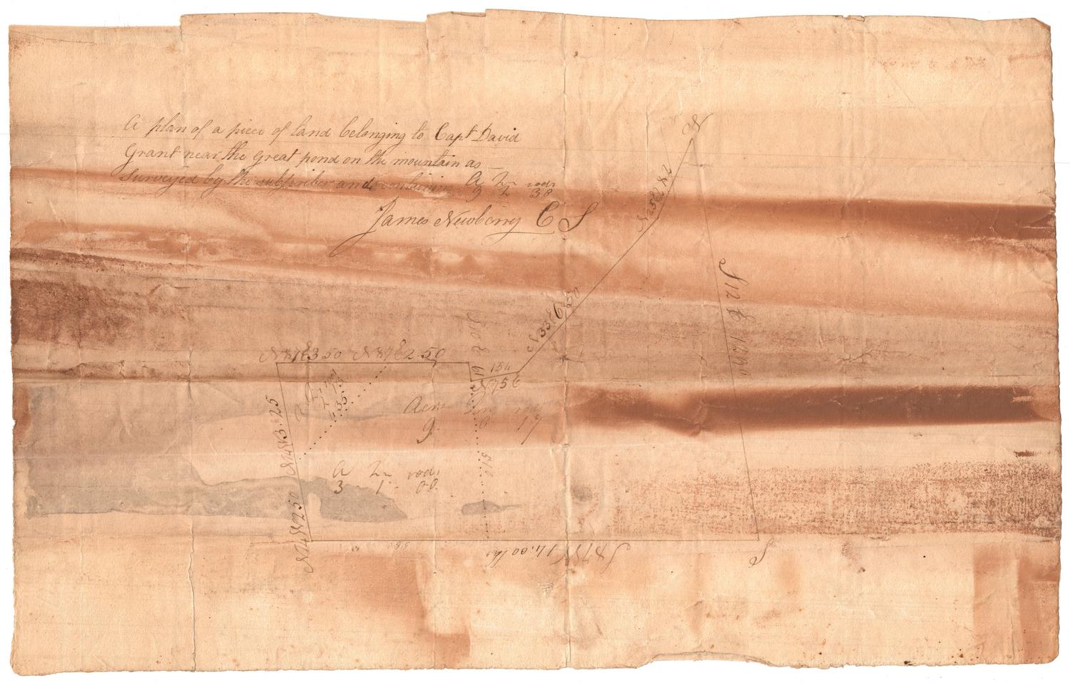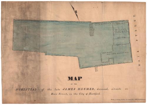
Map of the Homestead of James Hosmer, deceased, situate on Main Street, in the City of Hartford
SurveyorSurveyed by
Nathaniel Goodwin
American, 1782 - 1855
Date1837
MediumDrawing; ink, pencil and watercolor on wove paper on linen
DimensionsPrimary Dimensions (image height x width): 14 x 17in. (35.6 x 43.2cm)
Sheet (height x width): 14 1/4 x 20in. (36.2 x 50.8cm)
Sheet (height x width): 14 1/4 x 20in. (36.2 x 50.8cm)
ClassificationsGraphics
Credit LineConnecticut Museum of Culture and History collection
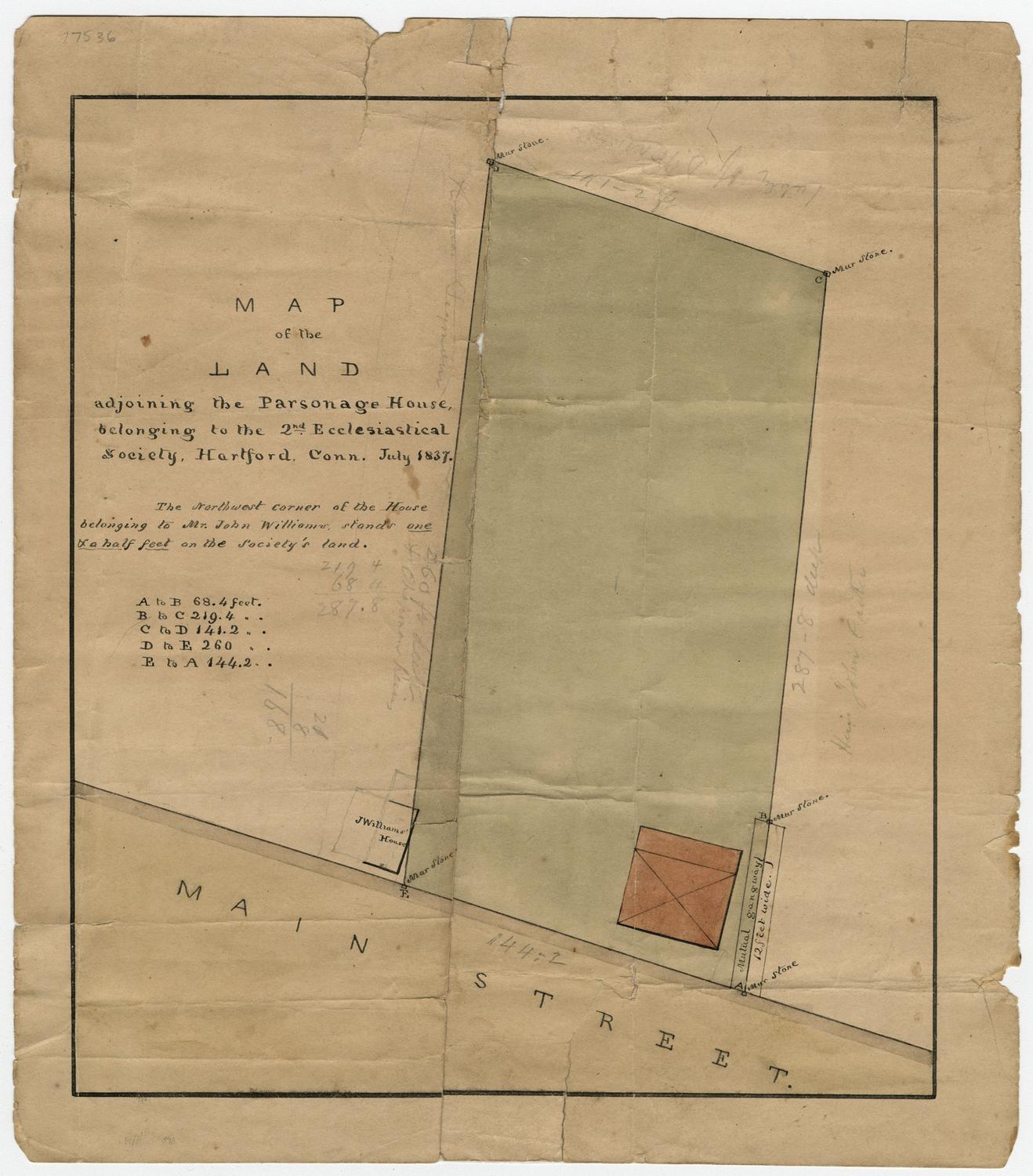
DescriptionPlat of a lot in Hartford, Connecticut, and the buildings on it, including measurements in feet and inches, explanations of some of the measurements, and descriptions of the buildings. It is bounded on the west by Main Street; there are no other streets or boundaries given.
Object number2012.312.19
InscribedRecto, bottom, handwritten in black ink: "MAP / OF THE / HOMESTEAD of the late JAMES HOSMER, deceased, situate on / Main Street, in the City of Hartford."Bottom right, written in black ink: "From a survey taken in October, 1837, by N. Goodwin."NotesCartographic note: No scale provided
Constituent Note: Nathaniel Goodwin (1782-1855) was a clerk of the probate court in Hartford and County Surveyor for Hartford County in 1837, the year this map was drawn.
Collections
- Maps and Charts: Finding Your Place in Connecticut History
On View
Not on view