Skip to main content
Collections
Objects
People
Thesaurus
Favorites
Advanced Search
Home
Works
Expand
Favorite
View PDF
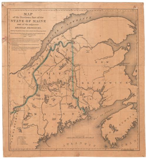
Map of the Northern Part of the State of Maine
Previous
Next
Gift of Sherman W. Adams, 1893.15.5Connecticut Historical Society collection, 1964.66.0 © 2012 The Connecticut Historical Society.
Map of the Northern Part of the State of Maine
Classifications
Graphics
Credit Line
Gift of Sherman W. Adams
Object number
1893.15.5
Subject Terms
Graphics Cataloging
On View
Not on view
Discover More
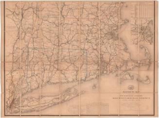
Post Route Map of the States of New Hampshire, Vermont, Massachusetts, Rhode Island, Connecticut and parts of New York and Maine
William L. Nicholson
1882
Colton's Tourist Guide Map of Massachusetts, Rhode Island and Connecticut, with Parts of Maine, New Hampshire, Vermont and New York
G.W. & C.B. Colton & Co.
1866
Image Not Available
for A Map of the New England States: Maine, New Hampshire, Vermont, Massachusetts, Rhode Island and Connecticut
A Map of the New England States: Maine, New Hampshire, Vermont, Massachusetts, Rhode Island and Connecticut
John Peter Van Ness Throop
1826
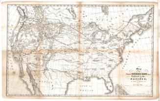
Map of the Proposed Northern Route for a Railroad to the Pacific
Edwin F. Johnson
1853
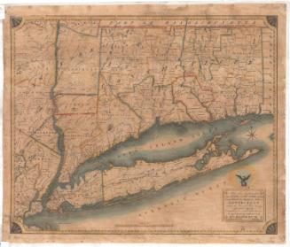
Map of the Southern part of the State of New York, including Long Island, the Sound, the State of Connecticut, part of the State of New Jersey and Islands adjacent.
William Damerum
1819
Map of the Southern Part of the State of New York including Long Island, the Sound, the State of Connecticut, part of the State of New Jersey and Islands adjacent
William Damerum
1815
A Map of the United States and British Provinces of Upper and Lower Canada with other parts adjacent
Amos Doolittle
1816
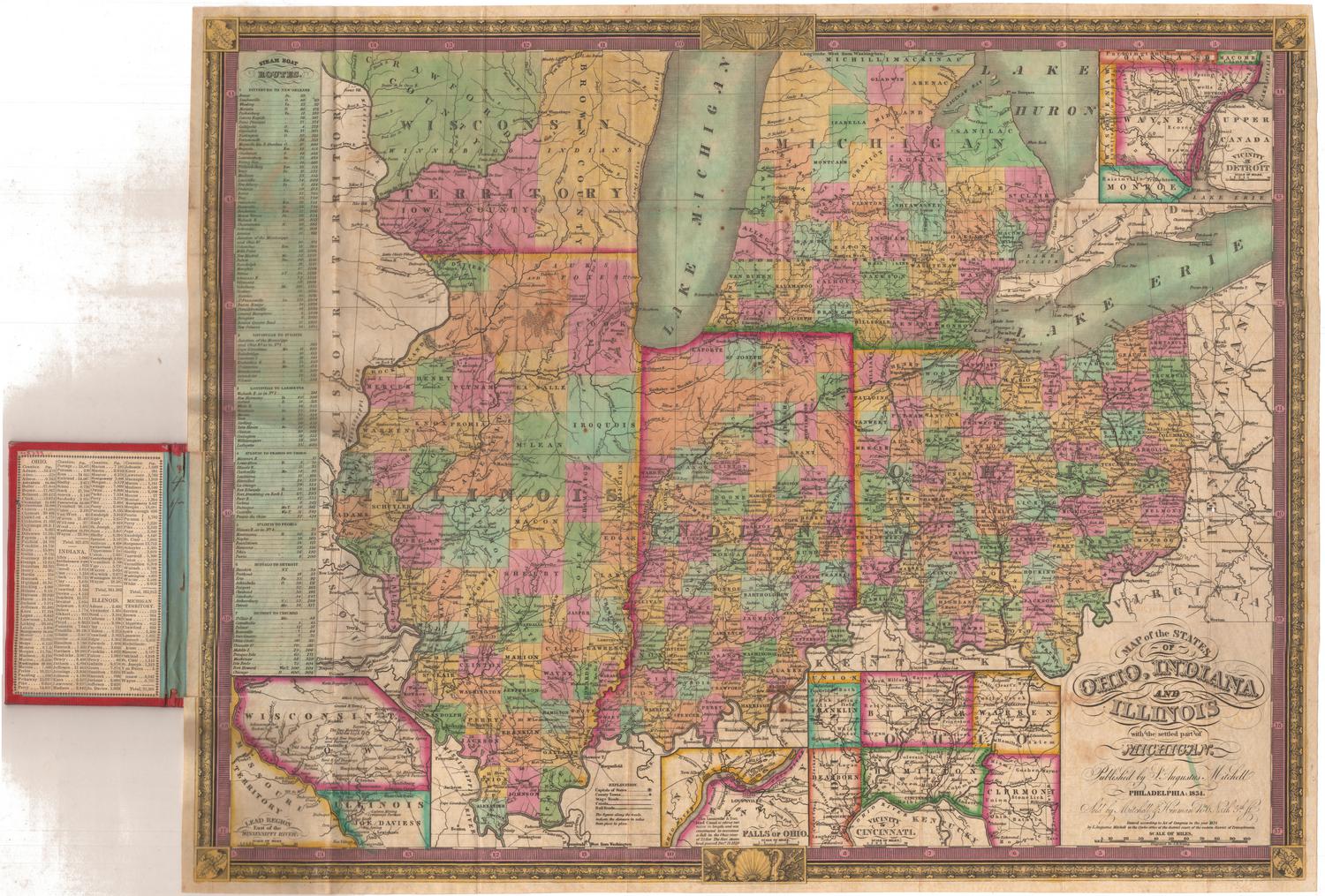
Map of the States of Ohio, Indiana and Illinois, with the settled part of Michigan
Samuel Augustus Mitchell
1834
Image Not Available
for Map of the United States of America, the British Provinces, Mexico, the West Indies and Central America with part of New Grenada and Venezuela
Map of the United States of America, the British Provinces, Mexico, the West Indies and Central America with part of New Grenada and Venezuela
George W. Colton
1852
Image Not Available
for Map of the United States with its Territories.including also a part of Upper and Lower Canada and Mexico.
Map of the United States with its Territories.including also a part of Upper and Lower Canada and Mexico.
Reed & Barber
1854
Image Not Available
for Map of the United States of America with its Territories.including also a part of Upper and Lower Canada and Mexico.
Map of the United States of America with its Territories.including also a part of Upper and Lower Canada and Mexico.
Reed & Barber
1842
Map of the States of Ohio, Indiana and Illinois, with the settled part of Michigan.
Samuel Augustus Mitchell
1835