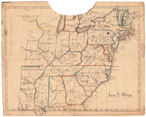
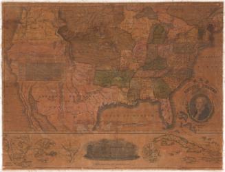
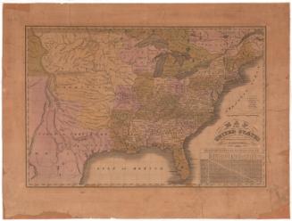
Map of the United States
DraftsmanDrawn by
Lucy Phelps
American, born about 1800
Datebefore 1821
MediumDrawing; black ink and watercolor on paper, lined with paper
DimensionsPrimary Dimensions (image height x width): 14 7/8 x 19 1/8in. (37.8 x 48.6cm)
Sheet (height x width): 16 3/8 x 20 3/8in. (41.6 x 51.8cm)
Mount (height x width): 16 3/8 x 20in. (41.6 x 50.8cm)
Sheet (height x width): 16 3/8 x 20 3/8in. (41.6 x 51.8cm)
Mount (height x width): 16 3/8 x 20in. (41.6 x 50.8cm)
ClassificationsGraphics
Credit LineConnecticut Museum of Culture and History collection
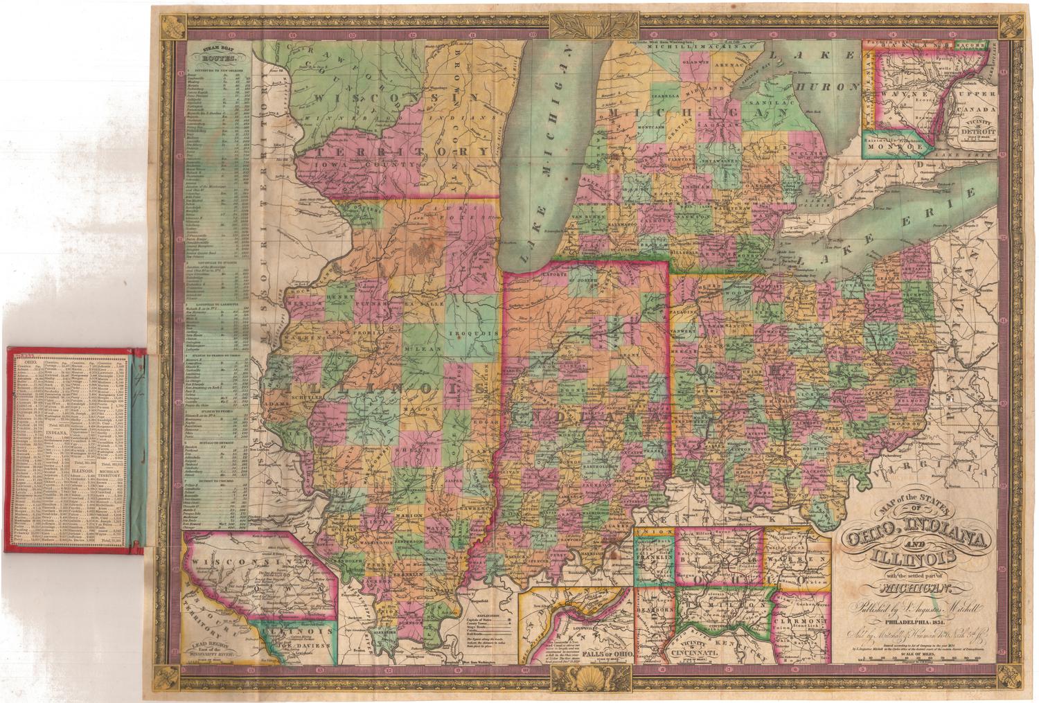
DescriptionMap of the eastern United States, from Louisiana east, with the Missouri Territory and Northwest Territory to the west. Towns are marked with open squares and are labeled. Physical features include elevation, conveyed through hachure marks; rivers; and lakes.
Object number2007.81.0
MarkingsVerso, center, stamped in red ink: "CtHi"InscribedRecto, bottom right, handwritten in black ink: "Lucy T. [?] Phelps"Verso, center, handwritten in pencil: "99706"NotesCartographic Note: No scale
Date Note: Missouri was admitted to the Union in 1821, so this map must have been made prior to that date.
Collections
- Maps and Charts: Finding Your Place in Connecticut History
On View
Not on view


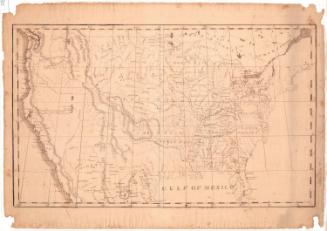
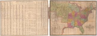
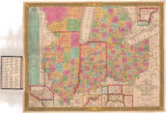
Samuel Augustus Mitchell
1835
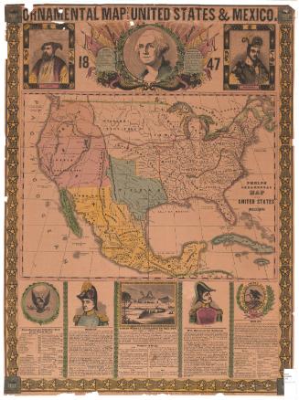
Samuel Augustus Mitchell
1834