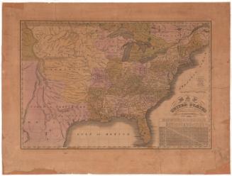
Map of the United States
DraftsmanDrawn by
Laura Giddings
American, born 1814
Date1826 or 1827
MediumDrawing; black ink on wove paper
DimensionsPrimary Dimensions (image height x width): 15 5/8 x 25 1/2in. (39.7 x 64.8cm)
Sheet (height x width): 19 1/4 x 27in. (48.9 x 68.6cm)
Sheet (height x width): 19 1/4 x 27in. (48.9 x 68.6cm)
ClassificationsGraphics
Credit LineMuseum purchase
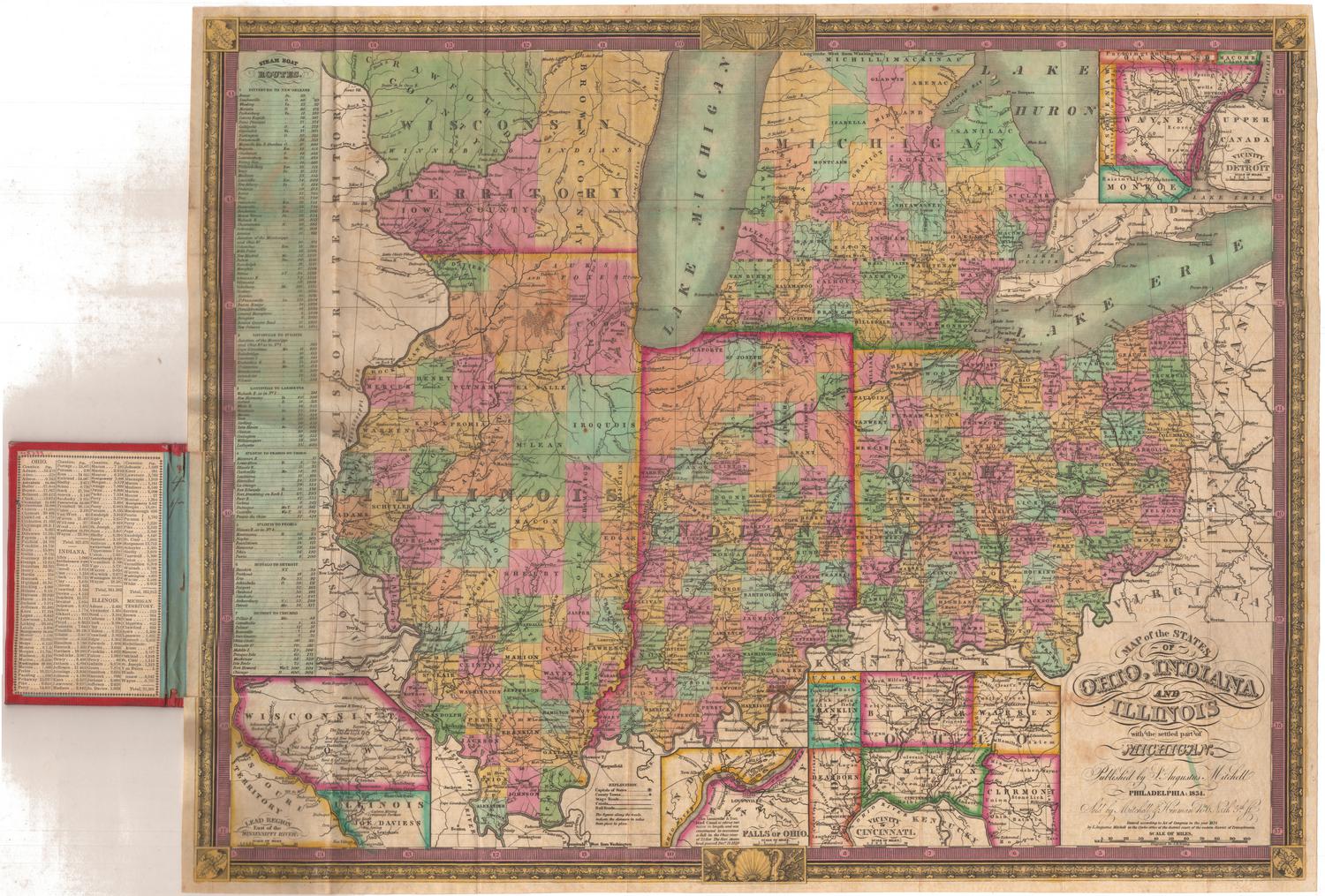
DescriptionManuscript map of the United States, with labels denoting the states of Florida, Georgia, Alabama, Mississippi, Tennessee, Kentucky, North Carolina, Virginia, Illinois, Indiana, Ohio, Pennsylvania, and New York; and the Arkansas Territory, Northwest Territory, and Missouri Territory. The New England states, Delaware, New Jersey and Maryland are not labeled. Upper and Lower Canada and part of present-day Mexico is also shown. Land west of the Missouri Territory and Rocky Mountains is labeled as "Unexplored country." Physical features shown include elevation, conveyed with clusters of small symbols representing mountains; rivers; and lakes. The Rocky Mountains and Coast Range mountains are depicted while the Appalachian Mountains are not.
Object number1993.172.0
MarkingsRecto, top left corner, printed in black ink on sticker: "MAPS / Box / 223"Verso, center, stamped in blue ink: "CtHi"
InscribedVerso, top left corner, handwritten in pencil: "Maps / FLAT / 145"
Center, handwritten in pencil: "91685"
Right side, handwritten in faded black ink: "Laura Giddings Map / Drawn while at Danbury Academy about 1826 or 1827"NotesCartographic Note: No scale
Collections
- Maps and Charts: Finding Your Place in Connecticut History
On View
Not on view
Samuel Augustus Mitchell
1835
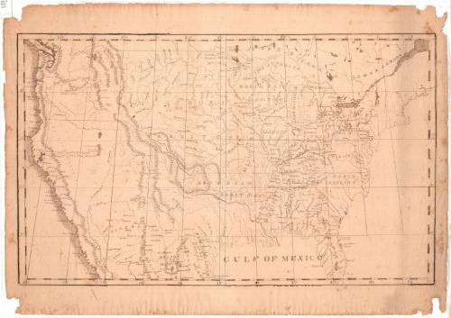
Samuel Augustus Mitchell
1834