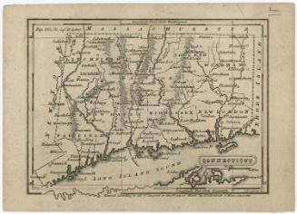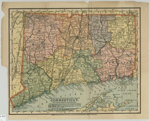
Up to Date Map of Connecticut
PrinterPrinted by
Matthews-Northrup Company
American
Date1898
MediumLithography; colored printer's inks on wove paper
DimensionsPrimary Dimensions (image height x width): 9 5/8 x 12in. (24.4 x 30.5cm)
Sheet (height x width): 10 3/4 x 13 1/2in. (27.3 x 34.3cm)
Sheet (height x width): 10 3/4 x 13 1/2in. (27.3 x 34.3cm)
ClassificationsGraphics
Credit LineMuseum purchase
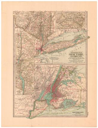
DescriptionMap of Connecticut, with part of Massachusetts is to the north, part of New York State is to the west, Long Island Sound and part of Long Island are to the south, and a small part of Rhode Island is the east. Counties are shown in different colors; cities and towns are indicated in larger or smaller type to suggest their relative size. Railroads and rivers, lakes, and ponds figure prominently. Numerous islands and points along Long Island Sound are identified. Only a few major hills, including West Rock, Mount Carmel, and Talcott Mountain, are indicated. Elevation is suggested by hachure marks.
Object number1928.8.2
InscribedOn recto, lower center, printed in black ink, "The Matthews-Northrup Up-to-Date Map of / CONNECTICUT. / Also Published in Vest-Pocket Style. / Style of lettering indicates the character and relative importance of places as follows.... FROM GREAT CITIES down through Big Towns and Important / Villages, to Little Villages and mere Stations."On verso, upper right, in pencil, "38354 / Connecticut, 1898 / 20 [in circle]"; lower left, in pencil, "MAP BOX / 20"; lower right, in pencil, "38354"NotesCartographic Note:
Collections
- Maps and Charts: Finding Your Place in Connecticut History
On View
Not on view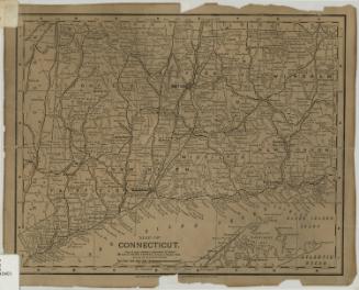
Matthews-Northrup Company
1913