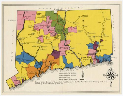
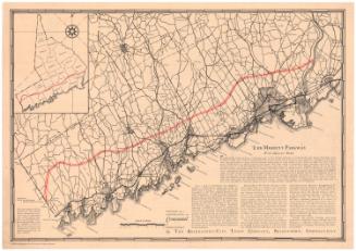
Electric Utility Systems of Connecticut
PublisherProbably published by the
Connecticut Power Company
American, founded 1913
Date1933-1955
MediumScreenprint and offset lithography; black and colored ink on paper
DimensionsPrimary Dimensions (image height x width): 10 1/4 x 13 1/2in. (26 x 34.3cm)
Sheet (height x width): 10 7/8 x 13 7/8in. (27.6 x 35.2cm)
Sheet (height x width): 10 7/8 x 13 7/8in. (27.6 x 35.2cm)
ClassificationsGraphics
Credit LineGift of William C. Conklin
DescriptionMap of the state of Connecticut, with the border of Massachusetts to the north, Rhode Island to the east, and New York to the west. The Long Island Sound is not labeled. The state is divided into colored sections presumably representing the different utility systems serving Connecticut. Steam generating stations, hydro generating stations and substations are labeled and depicted with symbols, and major transmission lines are shown with thick black lines.
Object number1971.71.13
MarkingsVerso, top left, stamped in blue ink: "THE CONNECTICUT / 82344 / HISTORICAL SOCIETY"Center, stamped in blue ink: "CtHi"InscribedRecto, bottom, printed in black ink: "Electric Utility Systems of Connecticut. Facilities owned by The Connecticut Power Company and areas / served by it are indicated by color red."
Verso, top left, handwritten in pencil: "82344"
Center, handwritten in pencil: "82344"
Bottom left, handwritten in pencil: "Map Box / 151"
Bottom right, handwritten in pencil: "82344"NotesCartographic Note: No scale
Date Note: This map must date from some time after 1933, when the Montville Generating Station was completed, and 1955, when the Unionville Dam was washed out by a severe flood. The Connecticut Power Company became part of the Connecticut Light and Power Company in 1958.
Collections
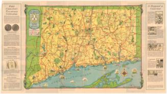
- Maps and Charts: Finding Your Place in Connecticut History
On View
Not on view
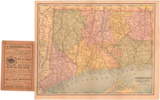
Matthews-Northrup Company
1913

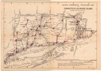
Blum's Commercial Map Publishing Company
1927-1928