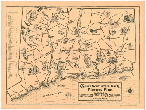
Connecticut State Park Picture Plan
PublisherPublished by
Connecticut Forest and Park Association
American, founded 1895
Date1929
MediumLithography; black printer's ink on wove paper
DimensionsPrimary Dimensions (image height x width): 20 1/8 x 27 1/8in. (51.1 x 68.9cm)
Sheet (height x width): 22 x 29in. (55.9 x 73.7cm)
Sheet (height x width): 22 x 29in. (55.9 x 73.7cm)
ClassificationsGraphics
Credit LineConnecticut Museum of Culture and History collection
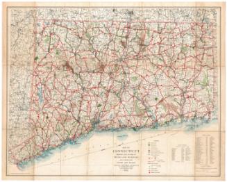
DescriptionPictorial map of Connecticut, depicting state parks. Cities are named and portrayed as built-up clusters of buildings, while elevation is depicted with groups of arrows. The drawings illustrating the state parks symbolize an event that took place there, characterize the name, depict the scenery or portray a popular activity. To the left of the map is a list of the state parks and forests, including their locations and acreage. Highways are included on the map but not labeled, and many of them have a small representation of a car driving along some portion. South of the state, in the Long Island Sound, a steamboat, three-masted sailing vessel, and what appears to be a tugboat pulling another boat behind it. In the bottom right corner is a compass.
Object number2012.312.61
MarkingsRecto, top left corner, printed in black ink on sticker: "MAPS / Box / 211"InscribedRecto, bottom, printed in black ink: "Connecticut State Park / Picture Plan / Published by / Connecticut Forest & Park Association / 215 Church St. New Haven, Conn. / January 1929"Bottom right, printed in black ink: "Copyrighted 1929, Conn. Forest & Park Assoc Price, 25 cents."NotesCartographic Note: No scale
Collections
- Maps and Charts: Finding Your Place in Connecticut History
On View
Not on view

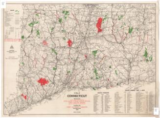
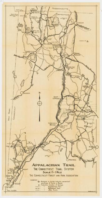
Connecticut State Highway Department
1934