Railway and Highway Map of the Famous Berkshire Hills Region
DraftsmanDrawn by
Walter Watson
American, born 1858
PublisherPublished by
Struthers, Servoss & Co.
American
Date1883
MediumLithography; black and colored printer's inks on wove paper
DimensionsPrimary Dimensions (image height x width): 29 1/2 x 22in. (74.9 x 55.9cm)
Sheet (height x width): 31 7/8 x 24in. (81 x 61cm)
Sheet (height x width): 31 7/8 x 24in. (81 x 61cm)
ClassificationsGraphics
Credit LineMuseum purchase
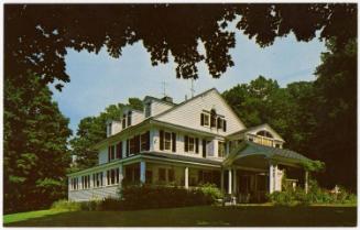
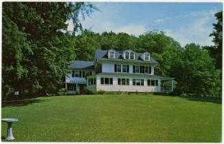
DescriptionPocket map of Berkshire County in western Massachusetts, with part of Vermont to the north, parts of Franklin, Hampshire, and Hampden Counties to the east, part of Connecticut to the south, and part of New York to the west. Berkshire County is colored orange, with towns outlined in a darker shade of the same color. Physical features include elevation, conveyed through hachure marks, and lakes and ponds. Roads and highways are colored red, with railroad lines in black. The railroads shown include the Troy and Greenfield; P & NA; Housatonic; and B & A. In the top right corner is a key. Around the map is text about the Berkshire Life Insurance Company, which is the company that produced the map. On the left side is an image of what is presumably its office. On the lower right side is an image of Greylock Peak in the Berkshires.
Object number1934.28.1
InscribedRecto, top left, printed in black ink: "RAILWAY AND HIGHWAY MAP / of the / FAMOUS / BERKSHIRE HILLS / REGION, / SHOWING ALSO VILLAGES AND POINTS OF INTEREST; / FROM OFFICIAL RECORDS. / AND OTHER INFORMATION, / By / WALTER WATSON, C.E. / FOR THE / BERKSHIRE LIFE INSURANCE CO. / OF / PITTSFIELD, MASS. / 1883."Left side, printed in black ink: "OFFICE OF THE / Berkshire Life Insurance Company / PITTSFIELD, MASSACHUSETTS."
Bottom right, printed in black ink: "VIEW IN THE BERKSHIRE HILLS."
Bottom right, printed in black ink: "Engraved and Printed by Struthers, Servoss & Co., New York. / Copyright, 1883, by Walter Watson, C.E."
Verso, top left, handwritten in red ink: "44650"
Top left, handwritten in pencil: "Berkshire HIlls / Map"NotesCartographic Note: Scale: 1 inch equals 2.12 miles
Collections
- Maps and Charts: Finding Your Place in Connecticut History
On View
Not on view


The Clinton Studio
The Clinton Studio