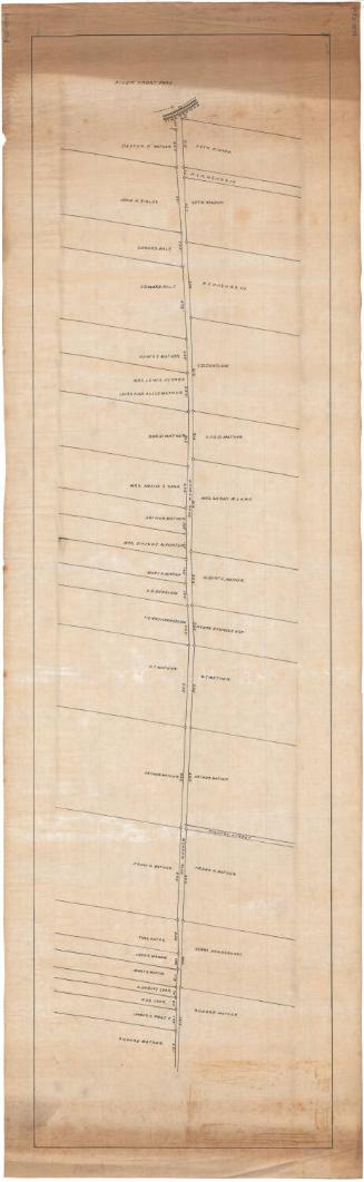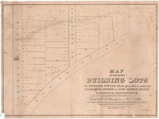
Property of R. & F. Cheney, Hartford, Conn.
SurveyorSurveyed by
Charles E. Bunce
American, 1851 - 1910
DraftsmanDrawn by
Charles E. Bunce
American, 1851 - 1910
DateProbably 1875
MediumDrawing; graphite and black ink on wove paper backed with fabric
DimensionsPrimary Dimensions (image height x width): 31 1/2 x 28 3/4in. (80 x 73cm)
Sheet (height x width): 33 1/2 x 31in. (85.1 x 78.7cm)
Sheet (height x width): 33 1/2 x 31in. (85.1 x 78.7cm)
ClassificationsGraphics
Credit LineGift of Richard Koopman
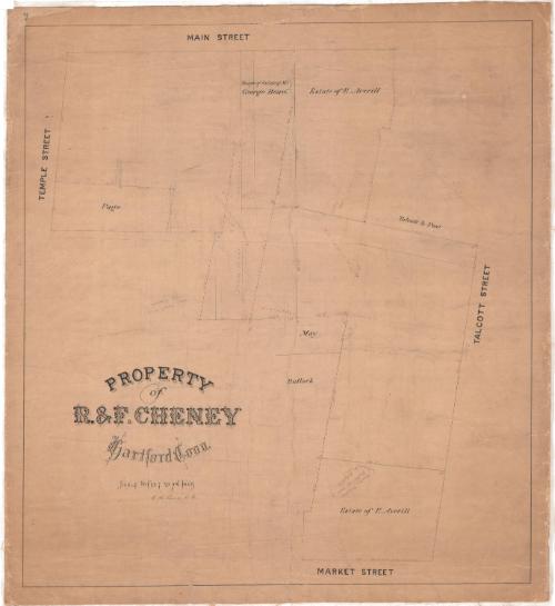
DescriptionPlat map of an area of downtown Hartford, Connecticut, bounded by Main Street on the west, Talcott Street on the north, Market Street on the east, and Temple Street on the south. Names of property owners include Page, May, Bullock, and Talcott & Post. One plot is inscribed "Bought of estate of Mr. George Beach". Two others are inscribed "Estate of E. Averill". Dimensions of the plots are inscribed in pencil and red ink.
Object number1987.286.1
InscribedOn recto, lower left, in black ink, "PROPERTY / of / R. & F. CHENEY / Hartford, Conn. / Scale 16 feet to an Inch"On verso, upper left, in pencil, "R & F Cheney / Main, Talcott & Market Sts."; upper left, upper right, lower left, and lower right, in black ink, "25/7"NotesCartographic Note: One inch equals sixteen feet
Collections
- Maps and Charts: Finding Your Place in Connecticut History
On View
Not on view