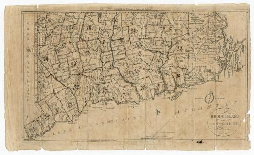
Rhode Island and Connecticut
DraftsmanDrawn by
Harding Harris
American, active 1795 - 1796
PrintmakerEngraved by
Samuel Hill
American, active 1789 - 1803
PublisherPublished by
Thomas & Andrews
American, active 1793 - 1814
Date1796?
MediumEngraving; black printer's ink on laid paper
DimensionsPrimary Dimensions (image height x width): 7 1/2 x 12 3/4in. (19.1 x 32.4cm)
Platemark (height only): 8in. (20.3cm)
Sheet (height x width): 8 3/8 x 14in. (21.3 x 35.6cm)
Platemark (height only): 8in. (20.3cm)
Sheet (height x width): 8 3/8 x 14in. (21.3 x 35.6cm)
ClassificationsGraphics
Credit LineGift of the late Helen E. Smith
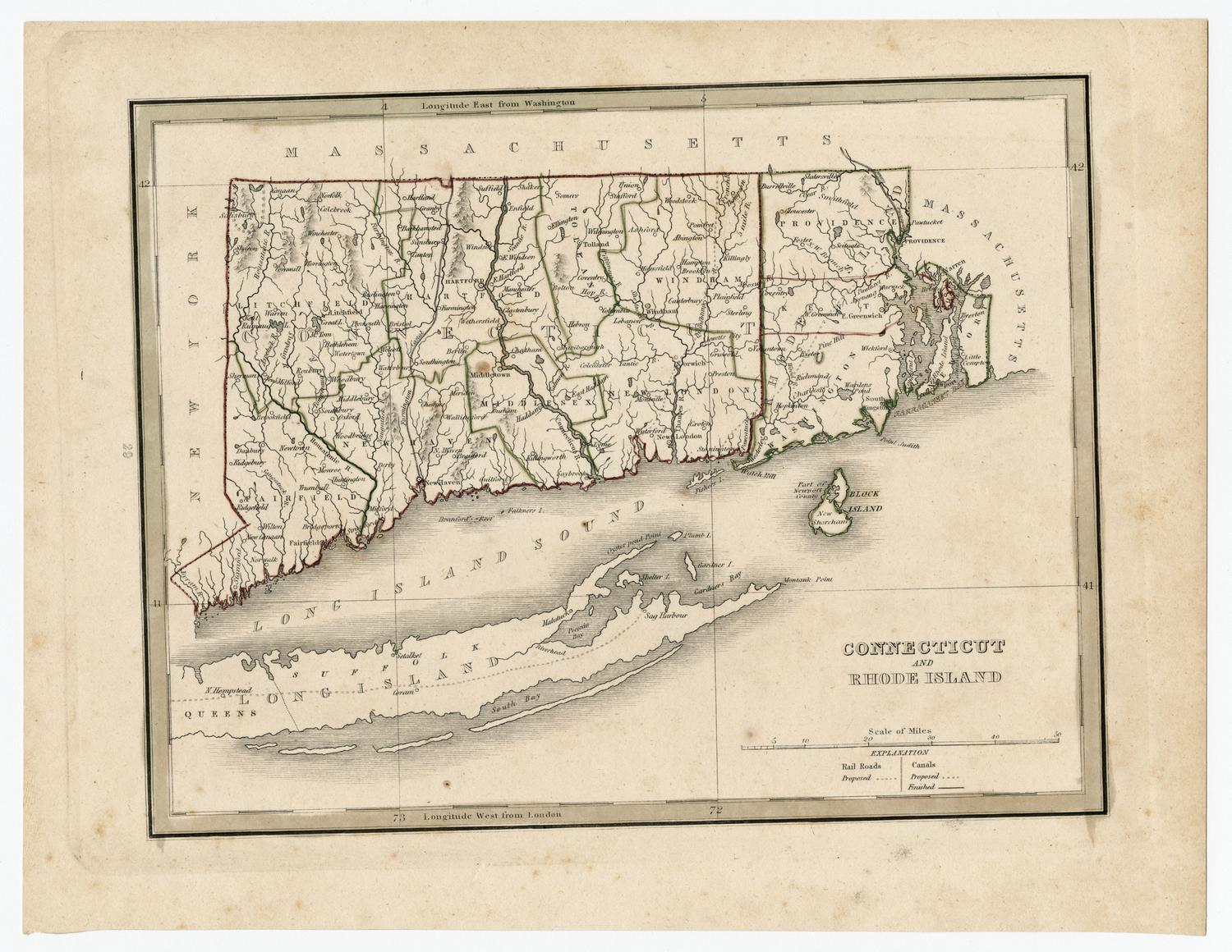
DescriptionMap of Connecticut and Rhode Island, not showing any part of Massachusetts to the north. The portion of Massachusetts that borders Rhode Island is shown as blank space. The Long Island Sound completes the southern border, with part of New York shown to the west. Connecticut and Rhode Island are divided into counties and towns, which are labeled. Physical features include elevation, depicted with clusters of peaks or hachure marks, rivers, ponds, and swamps.
Object number1926.32.1
MarkingsVerso, top, stamped in blue ink: "CtHi"InscribedRecto, top center, printed in black ink: "Publish'd by Thomas & Andrews Boston."Bottom right, printed in black ink: "RHODE ISLAND / and / CONNECTICUT. / H. Harris / delint."
Annotations to the map have been made in black ink: many of the towns in Connecticut (or small groups of towns) are outlined in dotted lines
Verso, top, handwritten in black ink: "Plan of the [illegible] Regiments / of / Infantry"
Top, handwritten in pencil: "36402"
Left side, handwritten in grease pencil: "9" [underlined and circled]
Bottom left, handwritten in pencil: "MAP BOX / 9"
Bottom right, handwritten in pencil: "36402"NotesCartographic Note: Scale: About 3/4 inch equals 10 miles
Collections
- Maps and Charts: Finding Your Place in Connecticut History
On View
Not on view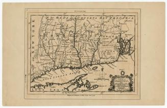


H. F. Sumner & Co.
1833

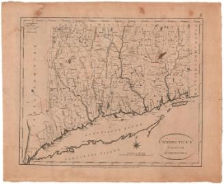
Lucius Stebbins & Co.
1859