High Ridge
DraftsmanDrawn by
Unknown
Date1965
MediumDrawing; pencil and red pencil on paper
DimensionsPrimary Dimensions (image height x width): 14 1/2 x 9in. (36.8 x 22.9cm)
Sheet (height x width): 14 7/8 x 9 1/8in. (37.8 x 23.2cm)
Sheet (height x width): 14 7/8 x 9 1/8in. (37.8 x 23.2cm)
ClassificationsGraphics
Credit LineGift of Robert W. Carder
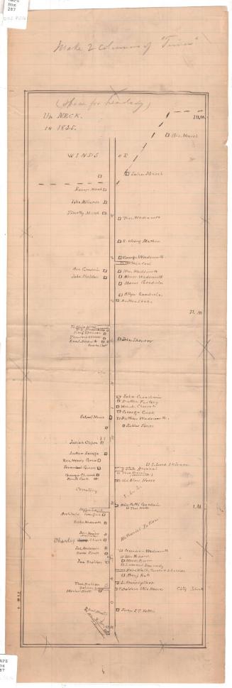
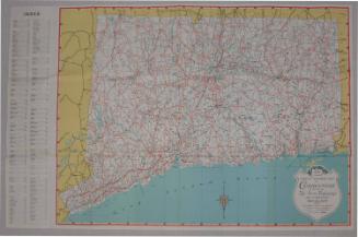
DescriptionManuscript map of High Ridge, Stamford, Connecticut, showing the system of local roads, which are labeled. Red circles and street numbers are also shown, indicating the locations of buildings.
Object number1979.99.3
MarkingsRecto, bottom left corner, stamped in blue ink: "THE CONNECTICUT / 79359 / HISTORICAL SOCIETY"Verso, center, stamped in blue ink: "CtHi"InscribedRecto, top left, handwritten in pencil: "HIGH RIDGE"NotesCartographic Note: No scale
Collections
- Maps and Charts: Finding Your Place in Connecticut History
On View
Not on view