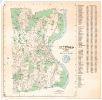
Town of Wethersfield, Connecticut
MakerMade by
Metropolitan District Commission
American, founded 1929
Date1976
MediumLithography; black, green and blue printer's inks on wove paper
DimensionsPrimary Dimensions (image height x width): 12 3/8 x 16in. (31.4 x 40.6cm)
Sheet (height x width): 12 7/8 x 16 1/2in. (32.7 x 41.9cm)
Sheet (height x width): 12 7/8 x 16 1/2in. (32.7 x 41.9cm)
ClassificationsGraphics
Credit LineConnecticut Museum of Culture and History collection
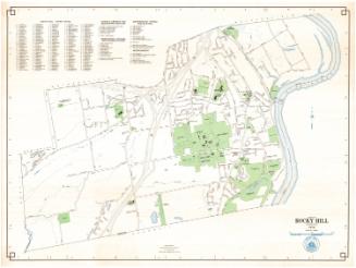
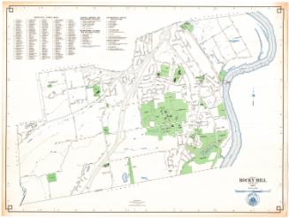
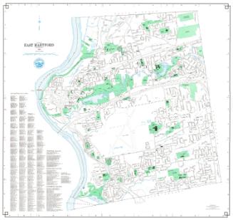
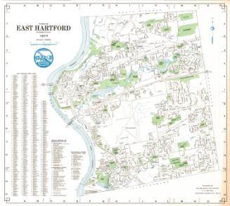
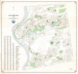
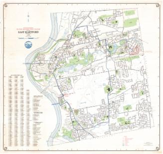
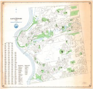
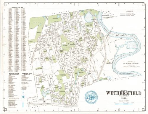
DescriptionMap of the town of Wethersfield, Connecticut, from Hartford to the north, the Connecticut River to the east, Rocky Hill to the south, and Newington to the west. Local roads are depicted and labeled, as is Interstate 91, with the proposed Interstate 291 appearing as broken solid parallel lines at the bottom. Green is used to denote cemeteries, parks, schools, counry clubs and "open spaces," while blue represents water in the forms of ponds, reservoirs and the river. The Penn Central Railroad runs north-south through the town. The town seal is shown at the bottom, and to the left of the map are lists of streets; recreational, cultural and historical places; schools, libraries and educational facilities; government offices and facilities; and miscellaneous.
Object number1988.209.0
MarkingsVerso, right, stamped in blue ink: "CtHi"InscribedRecto, right side, printed in black ink: "PREPARED BY / THE METROPOLITAN DISTRICT / P.O. BOX 800 / HARTFORD CONNECTICUT 06101"Bottom right, printed in black ink: "TOWN OF / WETHERSFIELD / CONNECTICUT / 1976"
Verso, bottom right, handwritten in pencil: "#088218"NotesCartographic Note: Scale: 1:24000
Collections
- Maps and Charts: Finding Your Place in Connecticut History
On View
Not on view