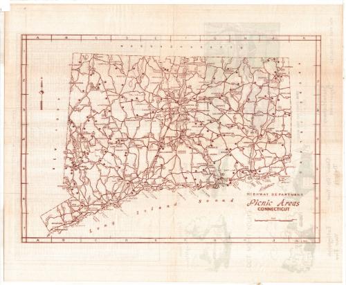
Picnic Areas, Connecticut
PublisherPublished by
Connecticut State Highway Department
(American, 1895 - 1969)
DistributorDistributed by
Connecticut Forest and Park Association
(American, founded 1895)
Date1954
MediumSerigraphy and halftone; brown and green ink on wove paper
DimensionsPrimary Dimensions (image height x width): 10 1/2 x 15in. (26.7 x 38.1cm)
Sheet (height x width): 14 x 17in. (35.6 x 43.2cm)
Sheet (height x width): 14 x 17in. (35.6 x 43.2cm)
ClassificationsGraphics
Credit LineConnecticut Museum of Culture and History collection
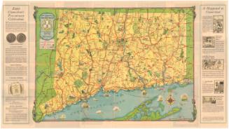
DescriptionOutline map of Connecticut showing the location of roadside picnic areas along federal and state highways. A key is provided which corresponds to a list of picnic areas on the verso, which gives the location of each picnic area and indicates the facilities (fireplaces, toilets, water) available. Illustrations on the verso show a couple in a convertible at a picnic area, a typical sign, and directions to extinguish fires and clean up debris at picnic areas “so that other users can enjoy them too.” Also on the verso is a list of the picnic areas, its grid location, and whether it has fireplaces, toilets and water.
Object number1985.209.0
NotesCartographic Note: Scale: 5/8 inches equals 5 milesOn View
Not on view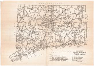
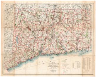
Connecticut State Highway Department
1934