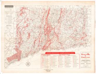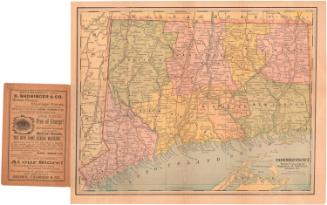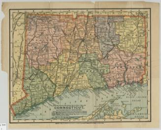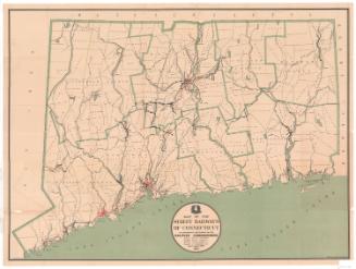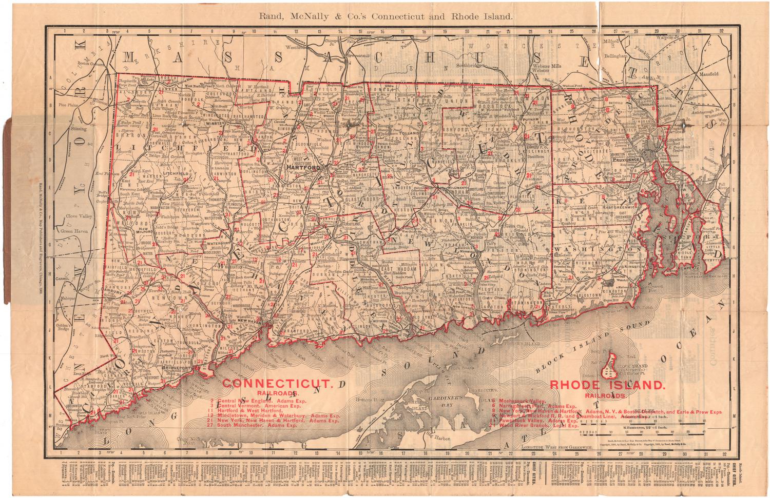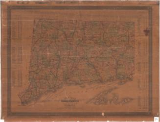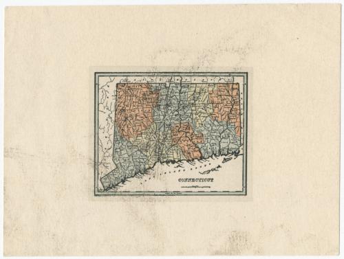
Connecticut
PrinterPrinted by
Hawthorn House
American, founded 1932
PublisherPublished by
Hawthorn House
American, founded 1932
DateProbably 1942
MediumLithography; black and colored printer's inks on wove paper
DimensionsPrimary Dimensions (image height x width): 2 x 2 3/16in. (5.1 x 5.6cm)
Sheet (height x width): 3 5/8 x 4 7/8in. (9.2 x 12.4cm)
Sheet (height x width): 3 5/8 x 4 7/8in. (9.2 x 12.4cm)
ClassificationsGraphics
Credit LineConnecticut Museum of Culture and History collection
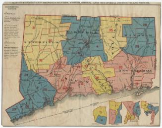
DescriptionMiniature map of Connecticut, divided into counties and towns, and bordered by Massachusetts to the north, Rhode Island to the east, the Long Island Sound to the south, and New York to the west.
Object number2012.312.203
InscribedRecto, lower right, printed in black ink: "CONNECTICUT"There is what looks like a scale below the title, but it is too small to readNotesCartographic Note: There is a scale marker but it is too small to read.
Collections
- Maps and Charts: Finding Your Place in Connecticut History
On View
Not on view
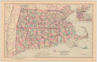
Kellogg & Bulkeley
1910-1915
Kellogg & Bulkeley
1915-1920