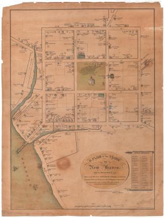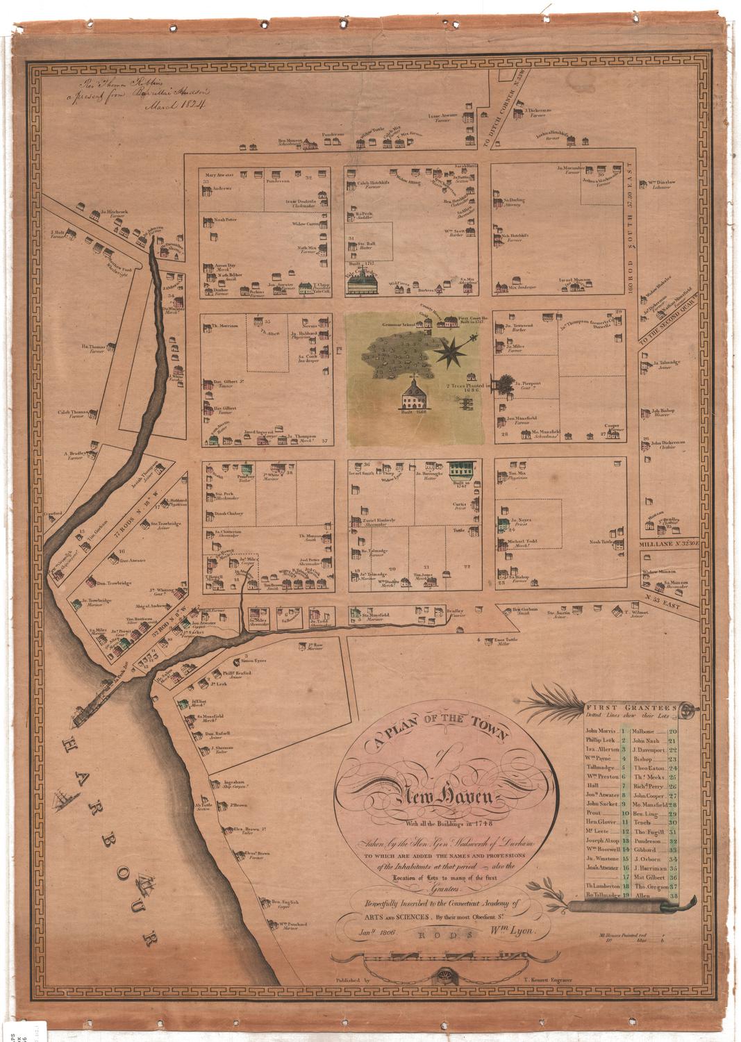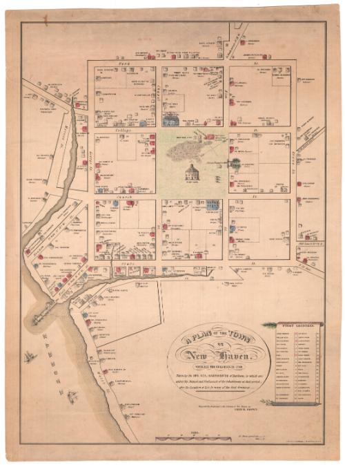
A Plan of the Town of New Haven with all the buildings in 1748
PrinterPrinted by
Charles Currier
American, 1818 - 1887
After a work byAfter a work by
James Wadsworth
American, 1730 - 1817
Dateabout 1865
MediumLithography; black printer's ink, watercolor and other color on wove paper
DimensionsPrimary Dimensions (image height x width): 21 1/2 x 15 5/8in. (54.6 x 39.7cm)
Sheet (height x width): 23 x 17 1/8in. (58.4 x 43.5cm)
Sheet (height x width): 23 x 17 1/8in. (58.4 x 43.5cm)
ClassificationsGraphics
Credit LineMuseum purchase
DescriptionThe town of New Haven, Connecticut, with depictions of houses accompanied by the names and professions of their owners or occupants in 1748. The map is oriented with the north arrow pointing toward the top right corner, and it extends from York Street at the top, Grove Street to the right, Water Street at the bottom and Morocco Street to the west. In the center of the map is the town green, which contains the grammar school, county house, court house,an unnamed building, an unnamed church and a building labeled as the "goal," which may be a misspelling of "gaol." There is also a cemetery, three canons, and "2 Trees Planted in 1686." Yale College appears at the top of the green. On the right side is a list of the first grantees, depicted as written on a scroll; at the top of the scroll is what appears to be a fir tree branch, and at the bottom is an olive branch.
Object number1951.34.0
InscribedRecto, bottom center, printed in black ink: "A PLAN OF THE TOWN / OF / New Haven. / WITH ALL THE BUILDINGS IN 1748 / Taken by the HON. GEN. WADSWORTH of Durham, to which are / added the Name's and Profession's of the Inhabitants at that period, / also the Location of Lots to many of the first Grantees.-"Bottom center, printed in black ink: "Respectfully dedicated to the citizens of New Haven by / DAVID R. BROWN."
Bottom, printed in black ink: "NB. Houses painted red.....r / " " blue .... b"
Bottom right, printed in black ink: "LITH. BY C. CURRIER, - 33 SPRUCE ST. N.Y."
Right side, printed in black ink: "FIRST GRANTEES. / JOHN MORRIS 1. / PHILLIP LEEK 2. / ISA. ALLERTON 3. / WM. PAYNE 4. / TALLMADGE 5. / WM. PRESTON 6. / HALL 7. / JOHN. ATWATER 8. / JOHN SACKET 9. / PROUT 10. / HEN. GLOVER 11. / MR. LEETE 12. / JOSEPH ALSOP 13. / WM. ROSEWELL 14. / JN. WINSTONE 15. / JOSH ATWATER 16. / ..... 17. / TH. LAMBERTON 18. / RO. TALMADGE 19. / MALBONE 20. / JOHN NASH 21. / J. DAVENPORT 22. / BISHOP 23. / THEO. EATON 24 / THS. MEEKS 25. / RICHD. PERRY 26. / JOHN COOPER 27. / MO. MANSFIELD 28. / BEN. LING 29 / TENCH 30. / THO. FUGILL 31. / PUNDERSON 32 / GIBBARD 33 / J. OSBORN 34 / J. HARRIMAN 35. / MAT. GILBERT 36. / THO. GREGSON 27. / ALLEN 38."
Verso, top left, handwritten in red ink: "59179"
Top left, handwritten in pencil: "MAP / Box / 155"
Center bottom, handwritten in pencil: "1079"NotesCartographical Note: Scale: About 3 3/4 inches equals 60 rods
Constituent Note: The Charles Currier who printed this lithograph was the brother of Nathaniel Currier, one of the partners in the lithographic firm, Currier & Ives. James Merritt Ives, the other partner, was Currier's brother-in-law. Charles Currier was sometimes associated with his brother's firm and sometimes issued prints on his own.
Collections
- Maps and Charts: Finding Your Place in Connecticut History
On View
Not on view