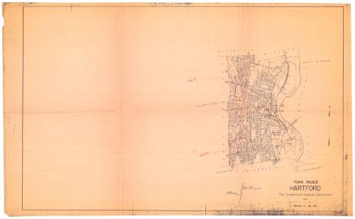
Town Roads, Hartford
PublisherPublished by
Connecticut State Highway Department
American, 1895 - 1969
Dateafter 1960
MediumPhotostat; gelatin silver print on paper
DimensionsPrimary Dimensions (image height x width): 17 3/8 x 12 1/2in. (44.1 x 31.8cm)
Sheet (height x width): 22 1/2 x 36 1/2in. (57.2 x 92.7cm)
Sheet (height x width): 22 1/2 x 36 1/2in. (57.2 x 92.7cm)
ClassificationsGraphics
Credit LineConnecticut Museum of Culture and History collection
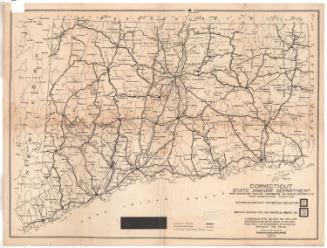
DescriptionStreet map of the city of Hartford, from the town lines of Bloomfield and Windsor to the north, the Connecticut River to the east, the town lines of Newington, Wethersfield and Glastonbury to the south, and the town line of West Hartford to the west. Most of the local roads are not labeled, with the exception of the larger thoroughfares. State highways are marked with their respective numbers.
Object number2012.312.161
InscribedRecto, left side, handwritten in red pencil: "Area # 1 [with arrow pointing to outlined area on map]"Left side, handwritten in red pen: "Conn. Historical Society [with hand-drawn line and box indicating the location of the building]"
Left side, handwritten in red pencil: "Area #2 [with arrow pointing to outlined area on map]"
Bottom right, in black: "TOWN ROADS / HARTFORD / The Connecticut Highway Department / REVISED TO JAN. 1960"NotesCartographic Note: Scale on original map: 2 inches equals 1 mile (the photostat is not to scale)
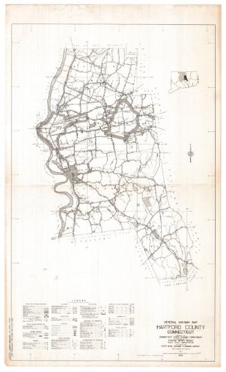
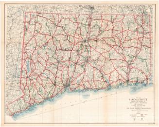
Collections
- Maps and Charts: Finding Your Place in Connecticut History
On View
Not on view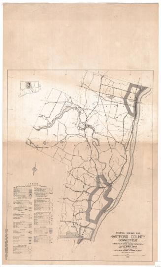

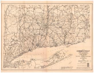
Connecticut State Highway Department
1930

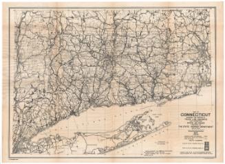
Connecticut State Highway Department
1934
Connecticut State Highway Department
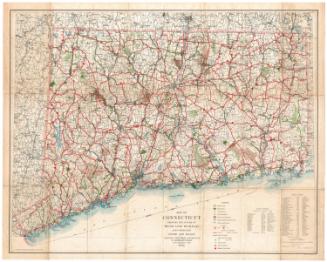
1925
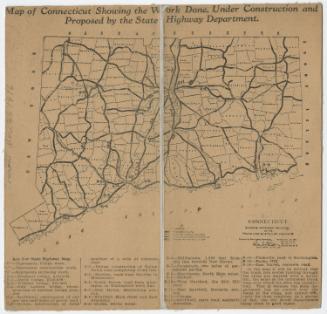
Connecticut State Highway Department
1927
Connecticut State Highway Department
1916
Connecticut State Highway Department
1923
