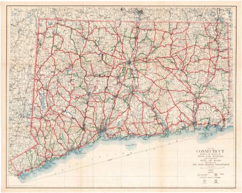
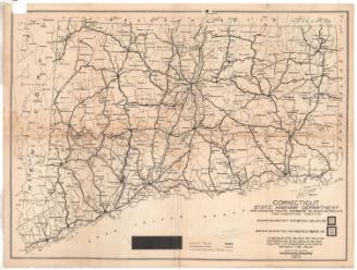
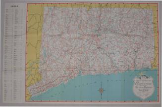
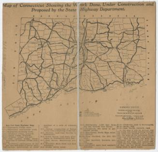
Map of Connecticut Showing the System of Trunk Line Highways and Connecting State Aid Roads
PublisherPublished by
Connecticut State Highway Department
American, 1895 - 1969
PrinterLithographed by
A. Hoen & Company
American, founded 1848
Date1930
MediumLithography; black and colored printer's inks on wove paper
DimensionsPrimary Dimensions (image height x width): 21 5/8 x 27in. (54.9 x 68.6cm)
Sheet (height x width): 22 1/2 x 28 1/8in. (57.2 x 71.4cm)
Sheet (height x width): 22 1/2 x 28 1/8in. (57.2 x 71.4cm)
ClassificationsGraphics
Credit LineGift of Frank Howard
DescriptionMap of Connecticut, with Massachusetts to the north, Rhode Island to the east, the Long Island Sound to the south, and New York to the west. The map depicts the trunk line system of highways, both improved and unimproved roads, and state aid roads. Route numbers are shown on the map, and the legend shows what the signs marking the U.S. and state routes look like.
Object number1975.104.2
MarkingsRecto, top and bottom left corners, printed in black ink on stickers: "MAPS / Drawer / 23"InscribedRecto, bottom right, printed in black ink: "MAP OF / CONNECTICUT / SHOWING THE SYSTEM OF / TRUNK LINE HIGHWAYS / AND CONNECTING / STATE AID ROADS / PREPARED BY / THE STATE HIGHWAY DEPARTMENT / 1930"Bottom right corner, printed in black ink: "A. HOEN & CO., BALTIMORE, U.S.A."
Bottom left corner, printed in black ink: "Copyright 1930 by Connecticut State Highway Commissioner"
Verso, top left corner, handwritten in pencil: "Maps / Flat / 47"
Center, handwritten in pencil: "76144"NotesCartographic Note: Scale: 1: 250,000
Collections
- Maps and Charts: Finding Your Place in Connecticut History
On View
Not on view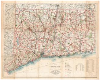
Connecticut State Highway Department
1934
Connecticut State Highway Department
1925
Connecticut State Highway Department
1927
Connecticut State Highway Department
1923


Connecticut State Highway Department
1916


