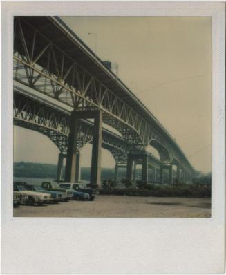
Interstate 95 Thames River bridges and approaches, New London to Groton
MakerTopggraphy by
James W. Sewell Company
(American, founded 1880)
ProducerProduced by
Connecticut State Highway Department
(American, 1895 - 1969)
Date1964
MediumBlueprints; cyanotype on wove paper
DimensionsPrimary Dimensions (image height x width): 35 x 68 3/4in. (88.9 x 174.6cm)
Sheet (height x width): 36 1/2 x 70 3/4in. (92.7 x 179.7cm)
ClassificationsGraphics
Object number1965.97.0
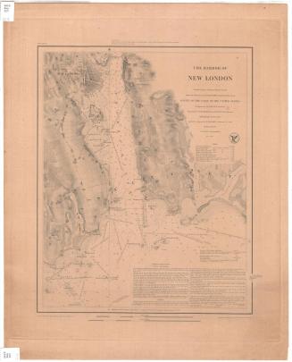
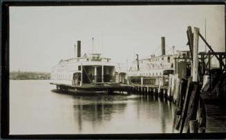
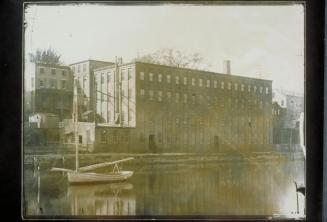
DescriptionMap of portions of Groton and New London, Connecticut, the Thames River, and New London Harbor. Streets and buildings are shown with names and natures of businesses and commercial structures. The United States Coast Guard Academy and the Winthrop Urban Renewal Area are identified. The locations of "historic sites" (Greek revival house) are indicated. Elevation is indicated by contour intervals. Existing Gold Star Memorial Bridge and railroad bridge are shown. Preliminary desgins for new highway bridge and entrance and exit ramps are superimposed on map.
Label TextPhotogrammetry uses photography to determine the geometric properties of objects. It is used in topographic mapping in order to accurately depict the nature of the terrain. Contour intervals are used to represent relief. This map showing plans for the I-95 bridge over the Thames River at New London was made using aerial photography. It not only conveys the physical features of the landscape but also includes all of the individual buildings. Plans for the new bridge and its entrance and exit ramps would prove highly controversial, since the area surrounding the bridge was densely built up with many homes and businesses. When it was finally completed in 1973, the double-span steel truss bridge would be the longest in the state of Connecticut.
NotesCartographic Note: 1: 2,400Status
Not on view