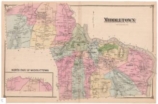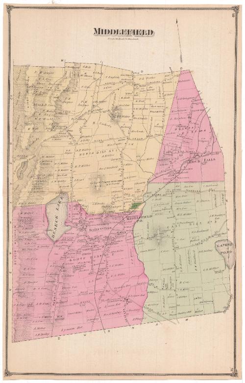
Middlefield
PublisherPublished by
F. W. Beers & Co.
(American)
Date1874
MediumLithography; black printer's ink and watercolor on wove paper
ClassificationsGraphics
Credit LineMuseum purchase
DescriptionMap of Middlefield, Connecticut, from the town line of Middletown to the north and east, the town line of Durham to the south, and the New Haven county line to the west. Middlefield is split into four districts, the North, Rockfall, East and South. The map depicts land lots, labeled with the owner's name. Buildings are indicated with closed black squares. One cemetery is colored green. Natural features include elevation, conveyed with hachure marks, and ponds. The Air Line Railroad runs through the town.
Object number1980.100.5
NotesCartographic Note: Scale: 1 inch equals 80 rodsOn View
Not on view