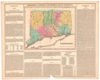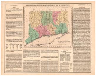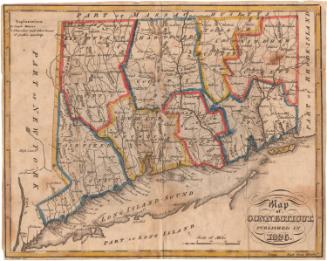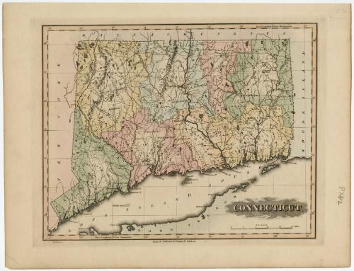
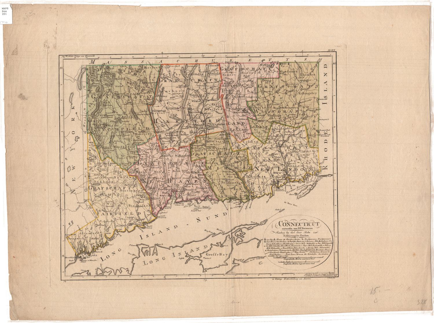
Connecticut
DraftsmanDrawn by
Fielding Lucas Jr.
American, 1781 - 1854
PrintmakerEngraved by
B. T. Welch
American, active 1824
PublisherPublished by
Fielding Lucas Jr.
American, 1781 - 1854
Date1824
MediumEngraving; black printer's ink and watercolor on wove paper
DimensionsPrimary Dimensions (image height x width): 9 3/8 x 11 3/4in. (23.8 x 29.8cm)
Platemark (height x width): 10 x 12 5/8in. (25.4 x 32.1cm)
Sheet (height x width): 11 5/8 x 15in. (29.5 x 38.1cm)
Platemark (height x width): 10 x 12 5/8in. (25.4 x 32.1cm)
Sheet (height x width): 11 5/8 x 15in. (29.5 x 38.1cm)
ClassificationsGraphics
Credit LineGift of William C. Conklin
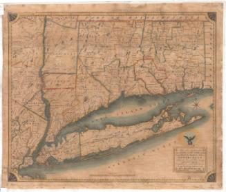
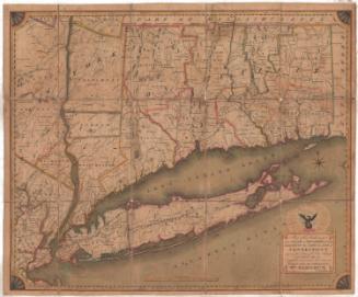
DescriptionPolitcal and physical map of Connecticut with Massachusetts to the north, Rhode Island to the east, Long Island Sound and part of the coast of Long Island to the south, and New York to the east. Town and county boudaries are shown and counties are different colors. Major rivers and roads are indicated. Lines of small peaks are used to indicate hills and mountains. The title "CONNECTICUT" at lower right appears as if surrounded by clouds.
Object number1971.71.10
MarkingsOn verso, center, stamped in blue in,, "CtHi"InscribedOn recto, lower left margin, in pencil, "P742"On verso, upper left, in pencil, "9 [in circle]"; lower left, in pencil, "Map Box / 150"; center, in penci, "82341"; lower right, in pencil, "82341" "1971.71.10"NotesCartographic Note: 1 inch = 10 miles
Collections
- Maps and Charts: Finding Your Place in Connecticut History
On View
Not on view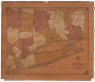

Lucius Stebbins & Co.
1859