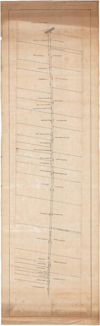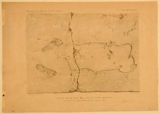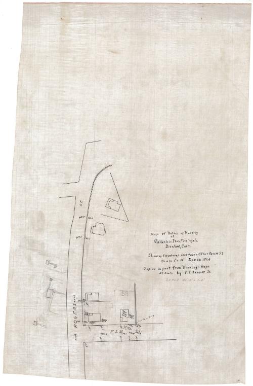
Map of portion of property of Malleable Iron Fittings Co. Branford, Conn.
DraftsmanDrawn by
Valdemar Thorvaldsen Hammer Jr.
American, 1901 - 1944
Date1926
MediumDrawing; black ink and graphite on tracing linen
DimensionsPrimary Dimensions (image height x width): 18 3/4 x 11 1/4in. (47.6 x 28.6cm)
Sheet (height x width): 29 x 18 1/2in. (73.7 x 47cm)
Sheet (height x width): 29 x 18 1/2in. (73.7 x 47cm)
ClassificationsGraphics
Credit LineConnecticut Museum of Culture and History collection
DescriptionMap showing two intersecting streets, labeled "Elm St." and "Rogers St." Footprints of five buildings are indicated, in some cases with dimensions and notes "Br" "Brick" "First Floor." An elm tree is shown in front of one building. The map appears to be incomplete.
Object number2012.312.231
InscribedOn recto, at right, in black ink, "Map of Portion of Property of Malleable Iron Fittings Co. / Branford, Conn. / Showing Elevations near corner of Elm & Rogers St. / Scale 1" = 40' Dec 28 1926"On verso, lower right, in pencil, accession numberNotesCartographic Note:
Collections
- Maps and Charts: Finding Your Place in Connecticut History
On View
Not on view