Connecticut, 1977-1978
MakerCopyrighted by
Connecticut Department of Transportation
(American, founded 1969)
MakerMade by
Connecticut Department of Commerce
(American, founded 1973)
MakerMade by
Connecticut Department of Environmental Protection
(American, founded 1971)
MakerMade by
Connecticut Department of Motor Vehicles
(American, founded 1917)
MakerMade by
Connecticut Historical Commission
(American)
Date1977-1978
MediumOffset lithography; black and colored printer's inks on wove paper
DimensionsPrimary Dimensions (image height x width): 23 x 35in. (58.4 x 88.9cm)
Sheet (height x width): 23 3/4 x 36in. (60.3 x 91.4cm)
ClassificationsGraphics
Credit LineConnecticut Museum of Culture and History collection
Object number2004.159.0
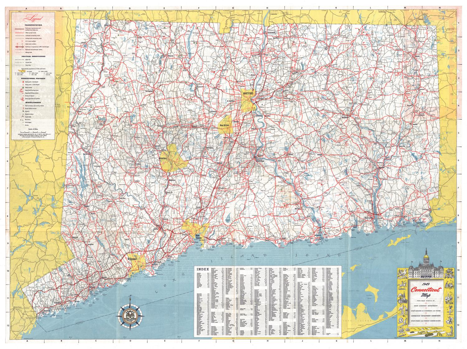
DescriptionRoad map of the state of Connecticut, including the Long Island Sound, with grid letters at the top and bottom and numbers on both sides. Degrees of longitude and latitude are provided, as well. The legend at the bottom of the sheet provides information about the types of roads marked on the map; interstates, US routes and state routes and their symbols; the political boundary lines for states, towns and counties; symbols marking yacht clubs, airports, heliports and boat launching sites; circles of varying sizes for cities of differing populations; and the scale. There is also a list of public boat launching sites, and an index of cities, towns and places, with their grid coordinates provided. The compass rose, located to the left of the legend, features a shield with three grapevines in it and the Latin phrase "Qui Transtulit Sustinet," which means "He who transplanted still sustains." To the right and at the bottom are inset maps of Waterbury/Naugatuck, Torrington, Ansonia/Derby/Shelton, Meriden, Middletown, Wallingford, Willimantic, New Haven, Bristol/New Britain, Hartford, Norwich, New London/Groton, Bridgeport, Danbury, Stamford/Norwalk, and Greenwich.
On the back is another map of the state with numbers corresponding to a list of attractions to the left. To the right are lists of public recreation areas, state forests, state monuments and covered bridges. At the bottom is information about state parks and forests, fishing and hunting, the locations of boat launching sites, and off-track betting. Ski areas are listed in the bottom right, along with mileages between towns in Connecticut, New York, Massachusetts and Rhode Island. Information about tolls, ferries, airports, railroads, and highway safety is provided to the right. At the top are photographs of the Danbury Fair, the Mark Twain House in Hartford, the Valley Railroad in Essex, and the Goodspeed Opera House in East Haddam. The cover panel shows more photographs of people participating in various activities, including sailing, skiing, and riding a carousel. A museum, a ship and a barn are also depicted.
On the back is another map of the state with numbers corresponding to a list of attractions to the left. To the right are lists of public recreation areas, state forests, state monuments and covered bridges. At the bottom is information about state parks and forests, fishing and hunting, the locations of boat launching sites, and off-track betting. Ski areas are listed in the bottom right, along with mileages between towns in Connecticut, New York, Massachusetts and Rhode Island. Information about tolls, ferries, airports, railroads, and highway safety is provided to the right. At the top are photographs of the Danbury Fair, the Mark Twain House in Hartford, the Valley Railroad in Essex, and the Goodspeed Opera House in East Haddam. The cover panel shows more photographs of people participating in various activities, including sailing, skiing, and riding a carousel. A museum, a ship and a barn are also depicted.
Label TextIn 1977, Ella Grasso was governor of Connecticut, and the interstate highway system was reaching its greatest extent in the state. Some roads shown on this map would never be built, however. These include a stretch of I-291 circling west of Hartford and connecting with I-91 at Rocky Hill, and the stretch of Route 11 extending from Salem to New London. Shown as "Proposed or under construction," neither road was ever completed. The Connecticut Turnpike, the Merritt Parkway, and the Wilbur Cross Parkway were all toll highways, and most major bridges also collected tolls. Tolls were removed from the Connecticut Turnpike in 1985 and from Connecticut's other highways in 1987, but continue to be viewed by some as a potential source of revenue for the state.
NotesCartographic Note: No scaleStatus
Not on view
Connecticut State Highway Department
1934
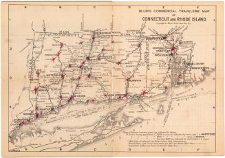
Blum's Commercial Map Publishing Company
1927-1928