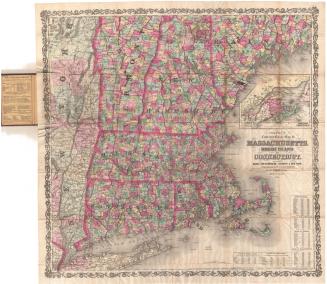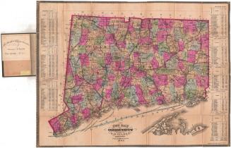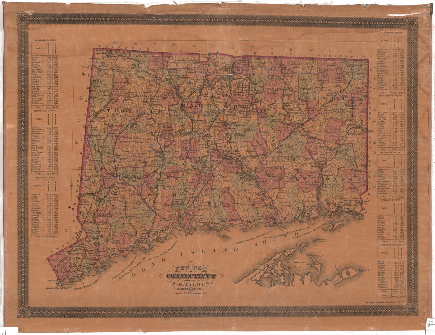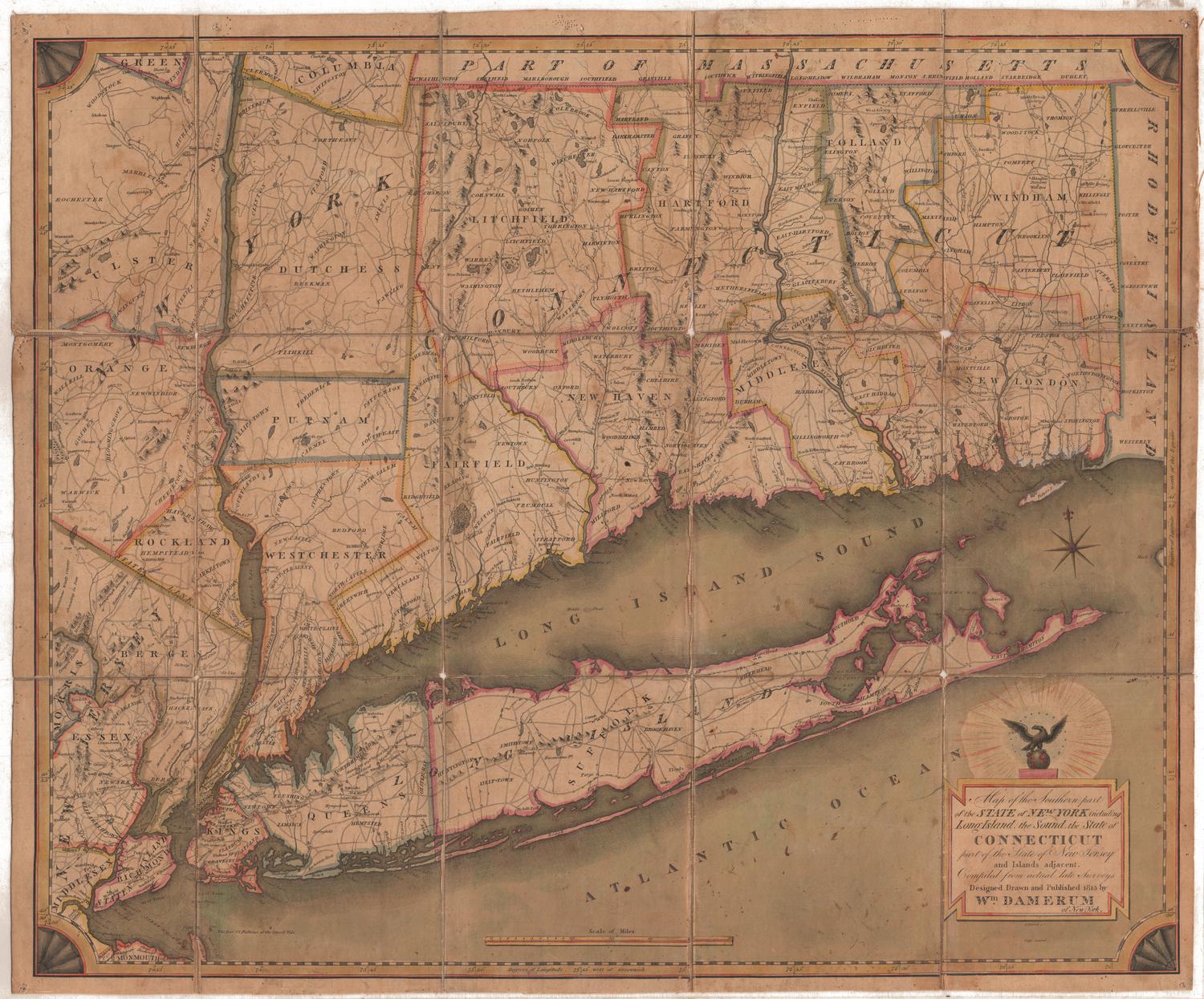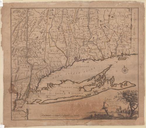
Connecticut and Parts Adjacent
PrintmakerEngraved by
Hendrik Klockhoff
(Dutch, active 1780 - 1793)
PrinterPrinted by
Covens and Mortier and Covens, Junior
(Dutch, 1774 - 1783)
PublisherPublished by
Covens and Mortier and Covens, Junior
(Dutch, 1774 - 1783)
After a work byAfter a work by
Bernard Romans
(American, 1741 - 1784)
Date1780
MediumEngraving; printer's ink on wove paper
DimensionsPrimary Dimensions (image height x width): 20 1/2 x 23 1/2in. (52.1 x 59.7cm)
Sheet (height x width): 22 7/8 x 26in. (58.1 x 66cm)
ClassificationsGraphics
Credit LineConnecticut Museum of Culture and History collection
Object number2012.312.275
DescriptionMap of Connecticut with part of Rhode Island to the east, Long Island to the south, and New York to the east. Rivers, roads, towns, and churches are shown. Elevation is depicted using rows of peaks. The Housatonic River is identified as the Westerhoek or Hosatonick or Darby or Stratford River. Counties are outlined in color. Rivers, roads, and towns in adjoining parts of New York, including Long Island, are shown. New York is identified as "State of New York." The cartouche at lower right represents a village with houses and a church, cows, an old tree with a broken limb and a young vigorous tree.
Label TextThis Dutch map is closely based on a map by Bernard Romans showing Connecticut at the time of the American Revolution. Romans, a Dutch mapmaker, had arrived in America in 1757 in the service of the British. He served on the American side during the Revolution and made several maps, including this one, at that time. Romans's bias is clearly evident in the fact that New York is identified as the State (not the Colony) of New York. All edtions of this important map are extremely rare today.
NotesCartographic Note: Approximately 7/8 inch equals five milesStatus
Not on view