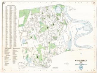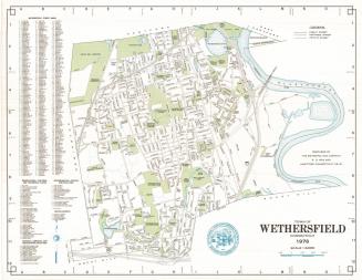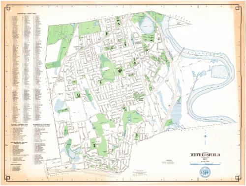
Town of Wethersfield, Connecticut
MakerPrepared by the
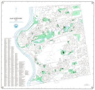
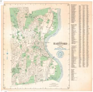
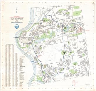
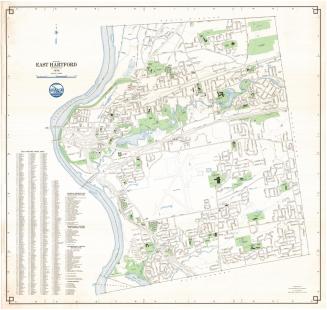
Metropolitan District Commission
(American, founded 1929)
Date1977
MediumLithography; colored printer's inks on wove paper
DimensionsPrimary Dimensions (image height x width): 24 x 31 3/4in. (61 x 80.6cm)
Sheet (height x width): 25 x 32 3/4in. (63.5 x 83.2cm)
ClassificationsGraphics
Credit LineConnecticut Museum of Culture and History collection
Object number1988.226.0
DescriptionMap of the town of Wethersfield, Connecticut, from Hartford to the north, the Connecticut River and Wethersfield Cove and another unnamed cove to the east, Rocky Hill to the south, and Newington to the west. Local roads, including the Berlin Turnpike and Wilbur Cross Parkway are depicted and labeled. Interstate 91 and proposed Interstate 291 with their exit and entrance ramps are also shown. Green is used to denote cemeteries, parks, schools, counry clubs and "open spaces," while blue represents water in the forms of ponds, reservoirs and the river. The Penn Central Railroad runs north-south through the town. The town seal is shown at the bottom, and to the left of the map are lists of streets; recreational, cultural and historical places; schools, libraries and educational facilities; government offices and facilities; and miscellaneous.
Label TextIn 1977, the Metropolitan District Commission announced the publication of a new map of Wethersfield, based on aerial photographs, that depicted the topography of the town. The Commission evidently also continued to issue maps showing the locations of features such as rivers, marshes, and streets, but not elevation and contours. The simple, graphic style of these traditional MDC maps made them especially attractive, clear, and easy to use, though they did not provide as much information as the more detailed topographical maps.
NotesCartographic Note: One inch equals 1000 feetStatus
Not on view