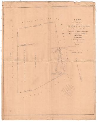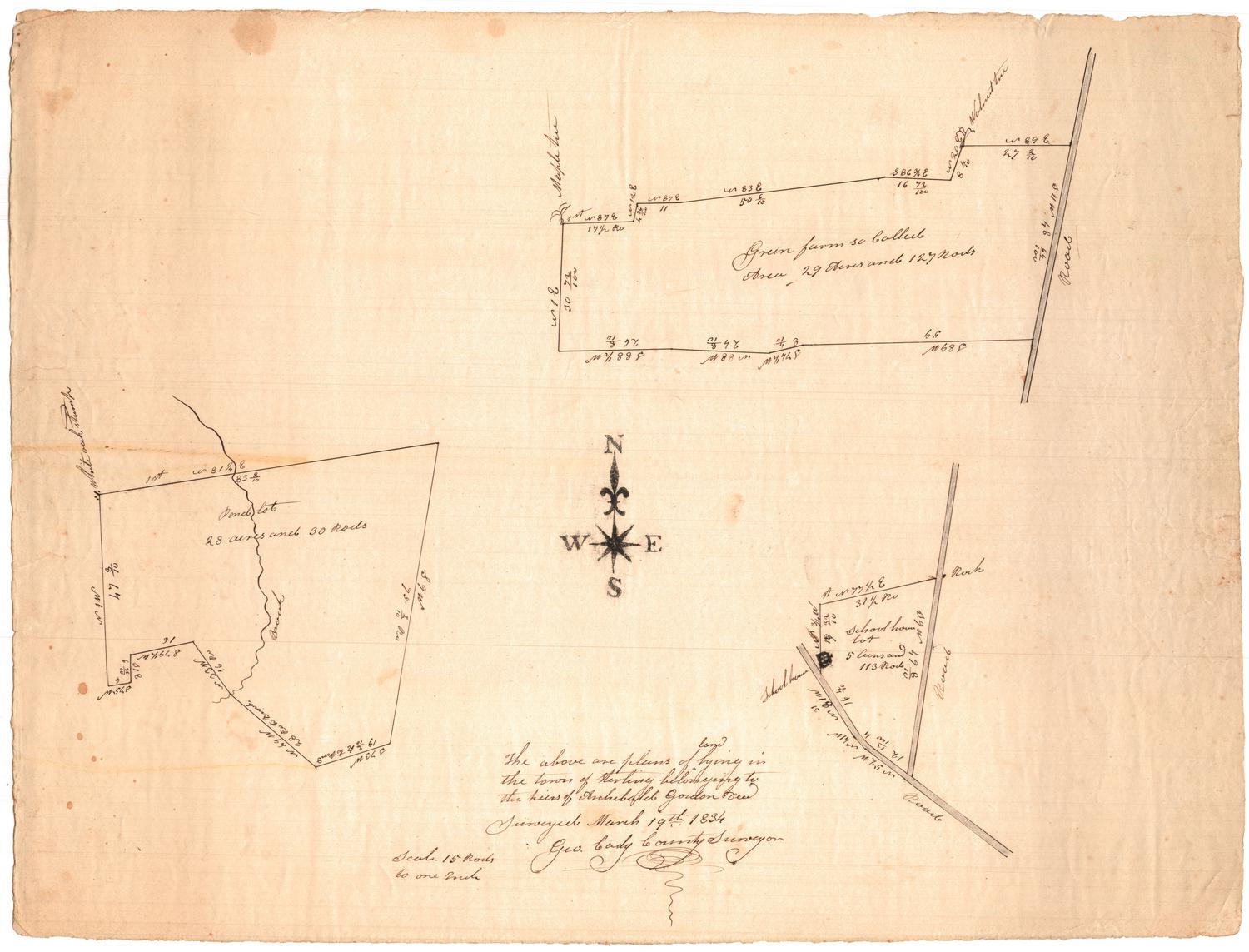
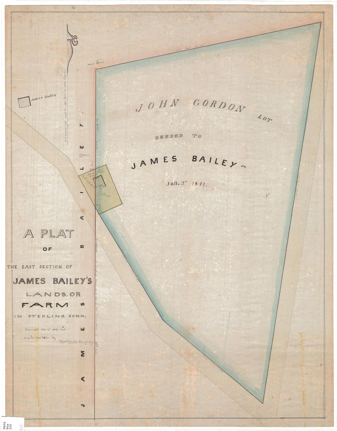
The above are plans of land lying in the town of Sterling belonging to the heirs of Archibald Gordon
SurveyorSurveyed by
George Cady
(American, 1795 - 1865)
Date1834
MediumDrawing; black ink on wove paper
DimensionsPrimary Dimensions (image height x width): 15 3/8 x 20 1/4in. (39.1 x 51.4cm)
Sheet (height x width): 15 3/8 x 20 1/4in. (39.1 x 51.4cm)
ClassificationsGraphics
Credit LineMuseum purchase
Object number1969.42.4
DescriptionThree plat maps on one sheet of paper, depicting a farm lot, a schoolhouse lot and a pond lot. Geographic coordinates are given, as are dimensions in feet (presumably) and area in acres and rods. The only building depicted is the school house.
Label TextArchibald Gordon died on May 25, 1833 at the age of eighty. He was a prominent citizen of the town of Plainfield, Connecticut, having served several times as town selectman. The survey of his property was carried out on March 19, 1834 by George Cady, from nearby Plainfield. The property consisted of three parcels, one of them the plot containing a schoolhouse that was later deeded to Joseph Bailey by John Gordon, probably Archibald Gordon's son.
NotesCartographic Note: Scale: 1 inch equals 15 rodsStatus
Not on view
William C. Stanton
1848