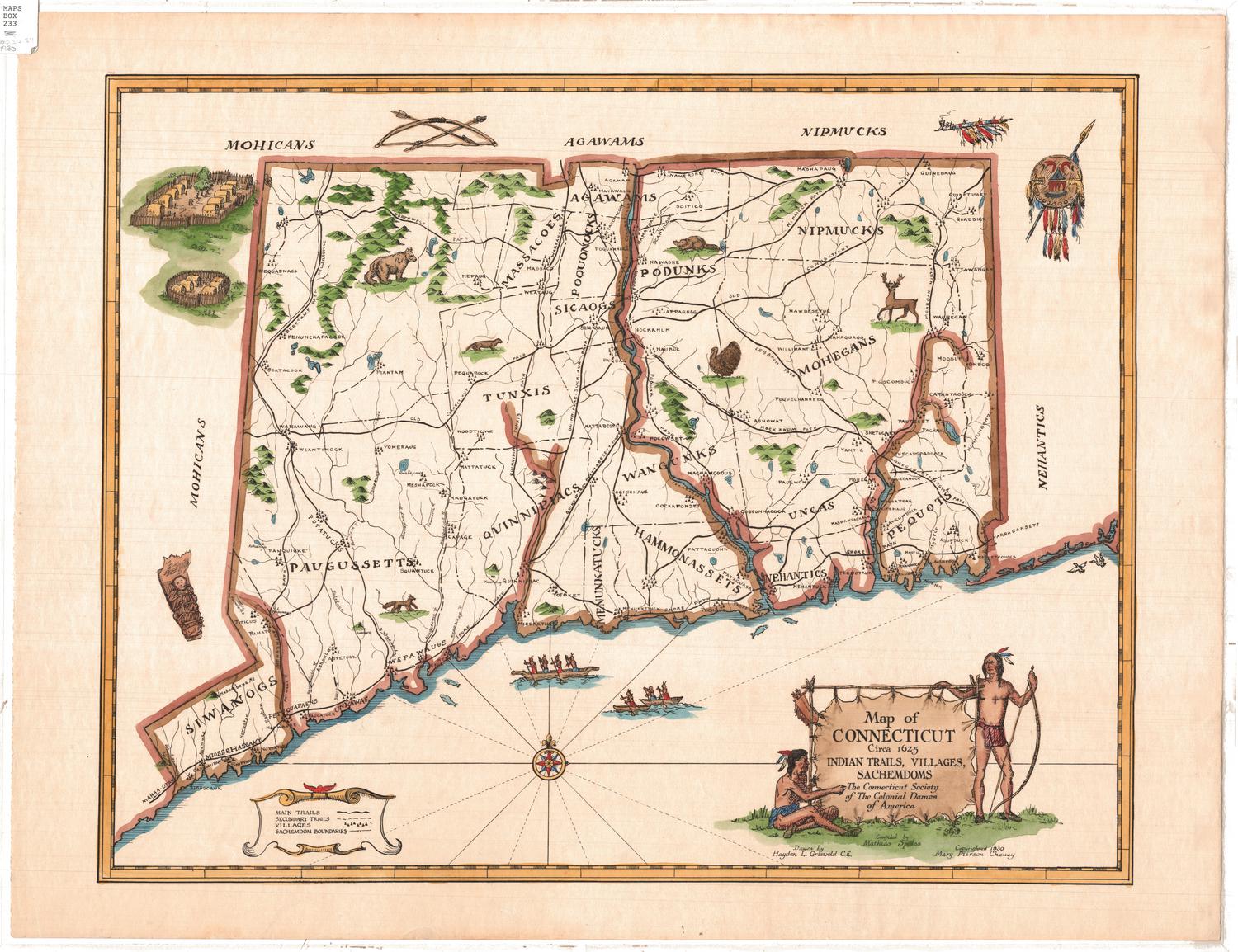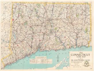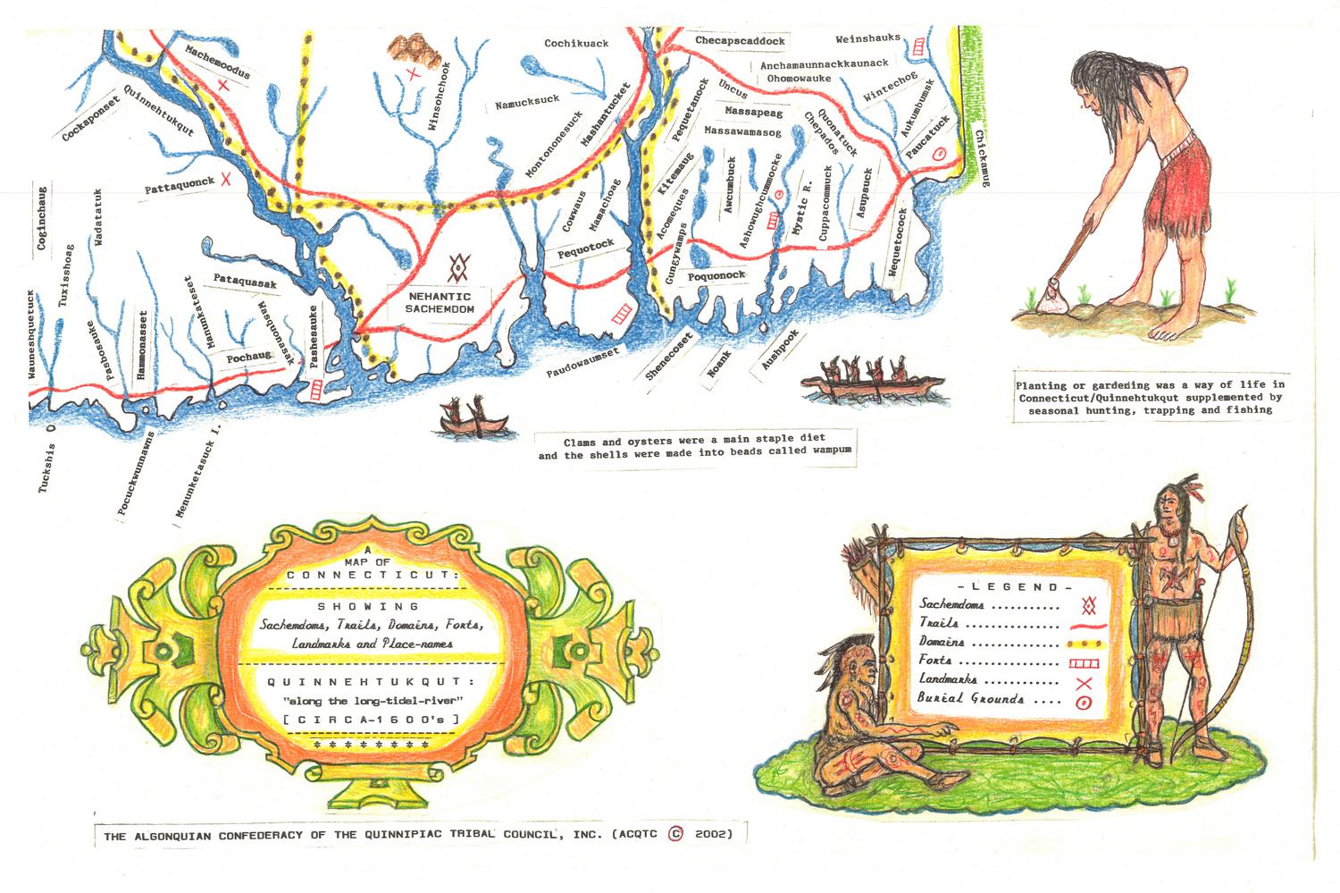


A Map of Connecticut: Showing Sachemdoms, Trails, Domains, Forts, Landmarks and Place-names
MakerCompiled and created by
Iron Thunderhorse
(American, born 1950)
PublisherPublished by
Algonquin Confederacy of the Quinnipiac Tribal Council, Inc.
(American, founded 1989)
Date2002
MediumInkjet print; colored inks on wove paper
DimensionsPrimary Dimensions (image height x width): 21 5/8 x 33 1/2in. (54.9 x 85.1cm)
Sheet (height x width): 21 5/8 x 33 1/2in. (54.9 x 85.1cm)
ClassificationsGraphics
Credit LineMuseum purchase
Object number2002.309.0a-d
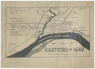
DescriptionFour-part reproduction map of the state of Connecticut, divided into Algonquian domains, primarily depicting sachemdoms and Native American place-names. Trails are shown in red, forts as a series of four boxes, landmarks as "x"s, and burial grounds as a circle with a dot in it. In the white space around the map are depictions of Hobbomock and Maushop, Algonquian stone giants, a bird of prey with a fish in its talons, and a Native American man gardening. Two canoes are shown in the space below the map, with a sentence describing the use of clams and oysters in diet and bead-making. The legend, in the bottom right corner, features two traditionally-dressed Algonquian men, one holding a bow and the other sitting with a quiver of arrows above him. Natural features include rivers; elevation, conveyed with clusters of peaks; and islands. Drawings of turkeys, bear, beavers and deer are scattered across the map. Accompanying the map is a three-page list of place-name definitions.
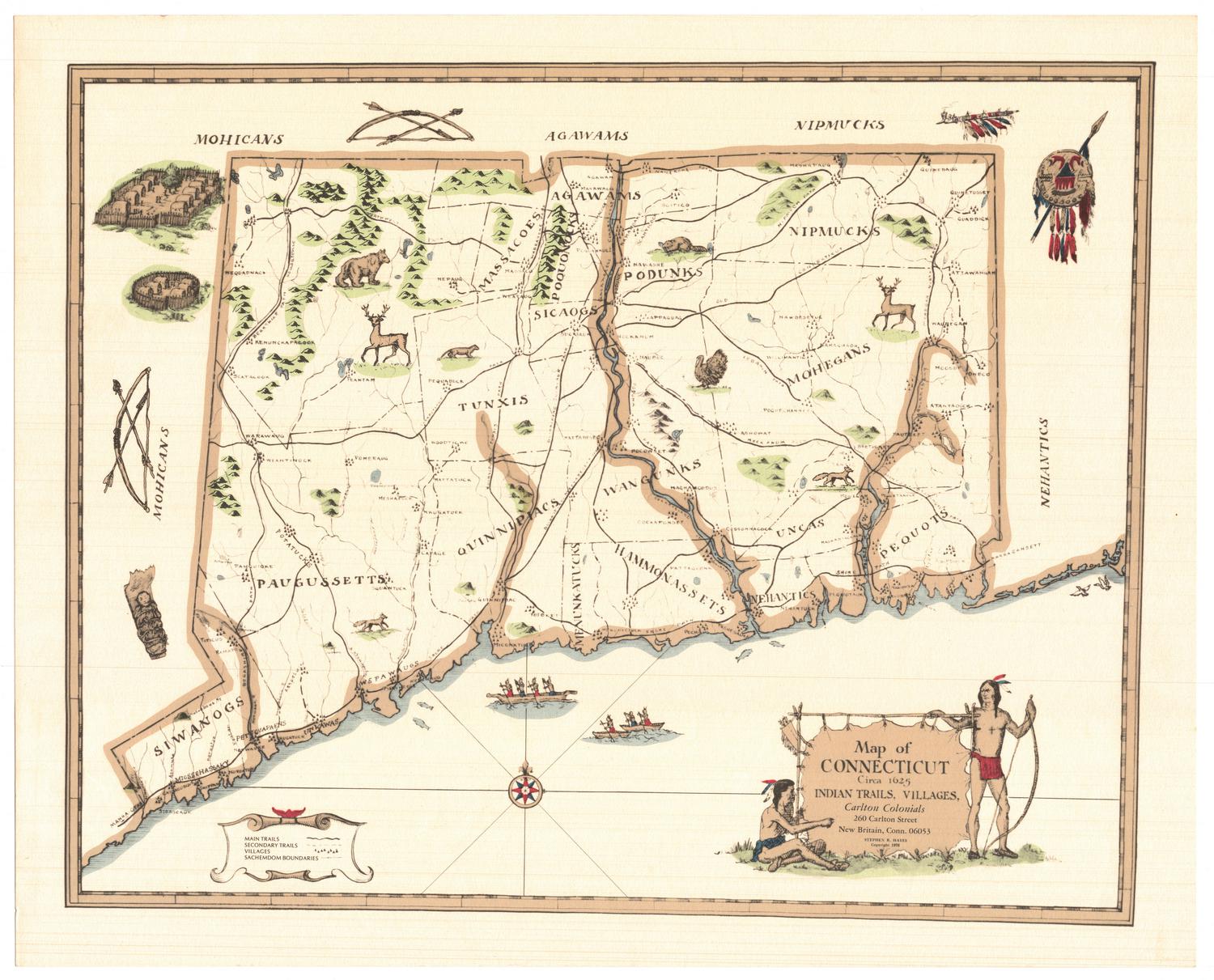
Label TextThe Algonquian Confederacy of the Quinnipiac Tribal Council was founded in 1989 to preserve, protect, and promote the culture of the Quinnipiac peoples. This map was compiled by Iron Thunderhorse, Grand Sachem of the Thunder Clan, and published in 2002 as part of that effort. It is based on Mathias Spiess's 1930 Map of Connecticut showing Indian Trails and Villages, but adds more detail and interpretation.
NotesCartographic Note: No scaleStatus
Not on view