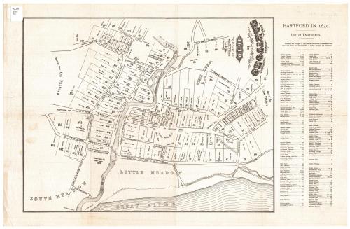
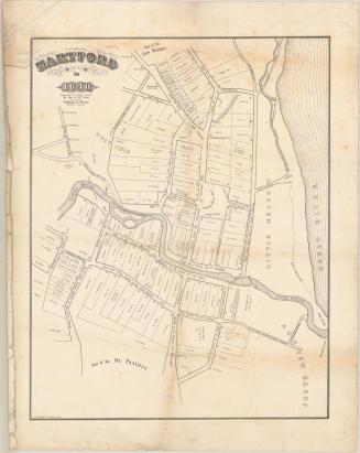
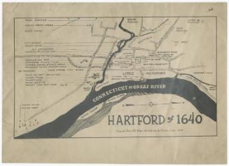
Hartford in 1640
SurveyorSurveyed by
William S. Porter
(American, about 1800 - 1866)
DraftsmanDrawn by
William S. Porter
(American, about 1800 - 1866)
PrinterPrinted by
Unknown
Dateafter 1851
MediumLithography; black printer's ink on wove paper
DimensionsPrimary Dimensions (image height x width): 16 1/8 x 12 1/2in. (41 x 31.8cm)
Sheet (height x width): 22 x 14 1/4in. (55.9 x 36.2cm)
ClassificationsGraphics
Credit LineConnecticut Museum of Culture and History collection
Object number2012.312.210
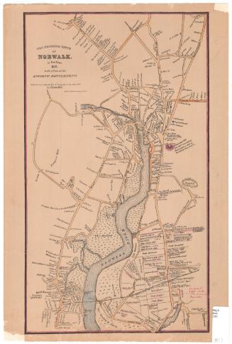
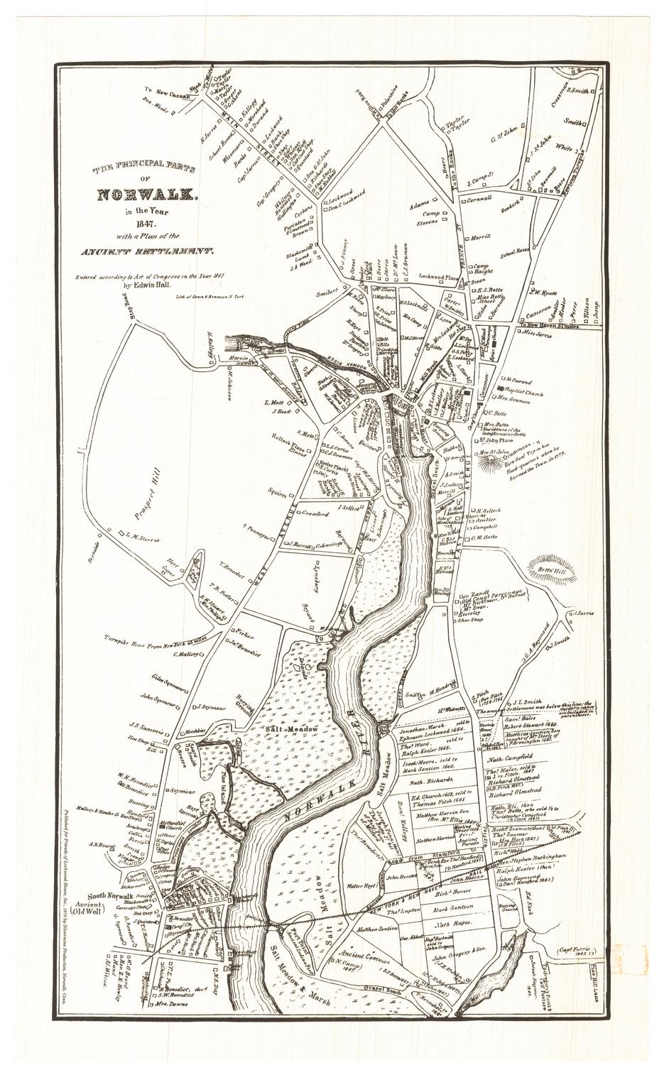
DescriptionMap of Hartford as the city was laid out in 1640, and oriented east-west on the sheet. It extends from "Part of the Cow Pasture" to the north, the Connecticut River ("Great River" on the map) to the east, "Part of the Ox Pasture" to the south, and the West Field to the west. The Little River runs east-west to where it meets the Connecticut River. Land lots are numbered and contain a square that presumably represents the location of the building on it, and the name of the property owner and, in some cases, the name of the individual to whom it was sold. To the right of the map is an alphabetical list of freeholders and their corresponding lot numbers. The roads are not named, as such, but they are labeled with descriptions of where they come from or lead. Public spaces, such as the meeting house yard, "prison jail," and market place are included, as are roads.
Label TextOn 10 December 1838, the selectmen of the city of Hartford authorized a survey of the town as it was originally laid out, with reference to its ancient history. A committee consisting of James Ward, Nathaniel Goodwin, Alfred Smith, and James B. Hosmer was selected William S. Porter of Farmington to carry out this task. Porter, known as a careful investigator of records as well as a skilled surveyor and mapmaker, based his work on old deeds and records supplemented by his own surveys.The resulting map was printed by the firm of Case & Green, who offered copies for sale at fifty cents apiece. Additional copies, also printed by Case & Green, were included in the Hartford Courant on 22 March 1851. This version of this important map varies siginficantly in size and layout from the original version printed in 1851. It is clearly later in date and probably was produced at some time during the twentieth century.
NotesCartographic Note: No scaleDate Note: Although the map was surveyed and drawn in 1838, it apparently was not printed until 1851.
Status
Not on view

Silvermine Production
1973