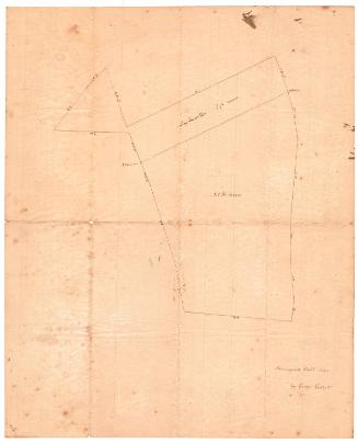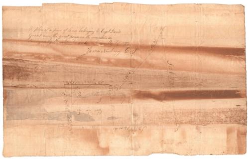
A Plan of a Piece of Land Belonging to Captain David Grant...
SurveyorSurveyed by
James Newberry
(American, 1778 - 1866)
Datebefore 1842
MediumDrawing; black ink on wove paper
DimensionsPrimary Dimensions (image height x width): 7 x 7 3/4in. (17.8 x 19.7cm)
Sheet (height x width): 10 1/4 x 16 1/4in. (26 x 41.3cm)
Sheet (height x width): 10 1/4 x 16 1/4in. (26 x 41.3cm)
ClassificationsGraphics
Credit LineConnecticut Museum of Culture and History collection
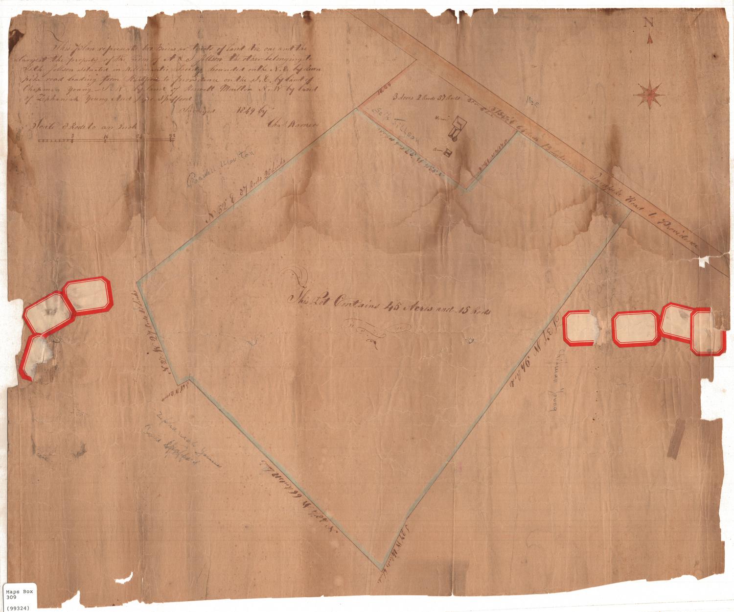
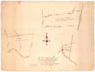
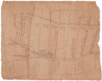
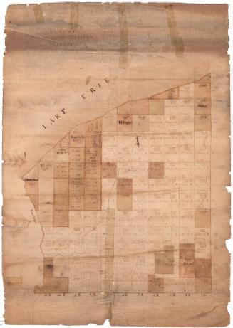
DescriptionMap of a land lot outlined with a solid line, with coordinates given for each side and measurements in acres, what appears to be links, and rods. The lot is divided into three sections, divided by dotted lines and with measurements included.
Object number2012.312.32
NotesCartographic Note: No scaleOn View
Not on view