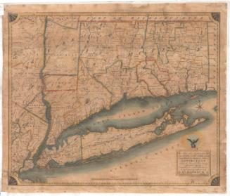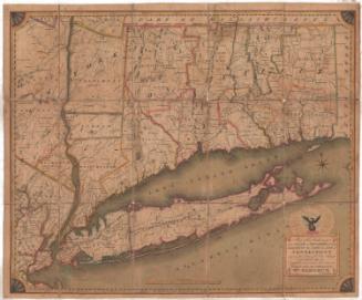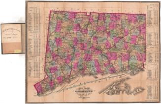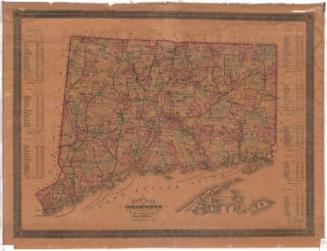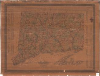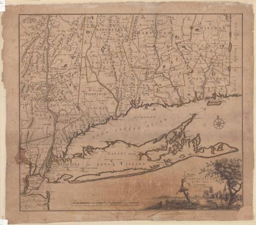
Connecticut and Parts Adjacent
PrintmakerEngraved by
Hendrik Klockhoff
Dutch, active 1780 - 1793
PrinterPrinted by
Covens and Mortier and Covens, Junior
Dutch, 1774 - 1783
PublisherPublished by
Covens and Mortier and Covens, Junior
Dutch, 1774 - 1783
After a work byAfter a work by
Bernard Romans
American, 1741 - 1784
Date1780
MediumEngraving; printer's ink on wove paper
DimensionsPrimary Dimensions (image height x width): 20 1/2 x 23 1/2in. (52.1 x 59.7cm)
Sheet (height x width): 22 7/8 x 26in. (58.1 x 66cm)
Sheet (height x width): 22 7/8 x 26in. (58.1 x 66cm)
ClassificationsGraphics
Credit LineConnecticut Museum of Culture and History collection
DescriptionMap of Connecticut with part of Rhode Island to the east, Long Island to the south, and New York to the east. Rivers, roads, towns, and churches are shown. Elevation is depicted using rows of peaks. The Housatonic River is identified as the Westerhoek or Hosatonick or Darby or Stratford River. Counties are outlined in color. Rivers, roads, and towns in adjoining parts of New York, including Long Island, are shown. New York is identified as "State of New York." The cartouche at lower right represents a village with houses and a church, cows, an old tree with a broken limb and a young vigorous tree.
Object number2012.312.275
InscribedOn recto, lower right, printed in black ink, "CONNECTICUT, / and Parts adjacent / at AMSTERDAM / COVENS and MORTIER / and / COVENS Junior"; lower right, in pencil, "1249"NotesCartographic Note: Approximately 7/8 inch equals five milesCollections
- Maps and Charts: Finding Your Place in Connecticut History
On View
Not on view