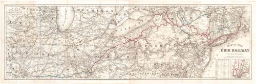
Map of the Erie Railway with its Connections
PrintmakerEngraved by
G.W. & C.B. Colton & Co.
American, founded 1865
PrinterPrinted by
G.W. & C.B. Colton & Co.
American, founded 1865
PublisherPublished by
G.W. & C.B. Colton & Co.
American, founded 1865
Date1869
MediumLithography; black printer's ink and red and blue watercolor on wove paper
DimensionsPrimary Dimensions (image height x width): 16 3/4 x 54 1/2in. (42.5 x 138.4cm)
Sheet (height x width): 18 1/2 x 56 1/4in. (47 x 142.9cm)
Sheet (height x width): 18 1/2 x 56 1/4in. (47 x 142.9cm)
ClassificationsGraphics
Credit LineGift of Mrs. David Ramsey
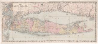
DescriptionMap of the northeastern United States from eastern Iowa and Missouri to the west to the Atlantic Ocean to the east. Wisconsin, Michigan, New York, Vermont, and New Hampshire are to the north, with part of the province of Ontario. Illinois, Indiana, Ohio, and north West Virginia, Virginia, and Delaware are to the south. The Erie Railroad and its connections are shown in red an blue. Other railroad lines are shown in black. A small inset map at lower right shows the railroad lines in the immediate vicinity of New York City. A chart of distances from New York to various cities is also at lower right.
Object number1979.101.1
MarkingsOn verso, left center, stamped in blue ink, "THE CONNECTICUT / 79408 / HISTORICAL SOCIETY"InscribedOn recto, lower right, printed in black ink, "MAP OF THE / ERIE RAILWAY / WITH ITS CONNECTIONS / SCALE OF STATUTE MILES; 20 TO AN INCH."On verso, lower right, "1979.101.1"NotesCartographic Note: One inch equals twenty miles
Collections
- Maps and Charts: Finding Your Place in Connecticut History
On View
Not on view


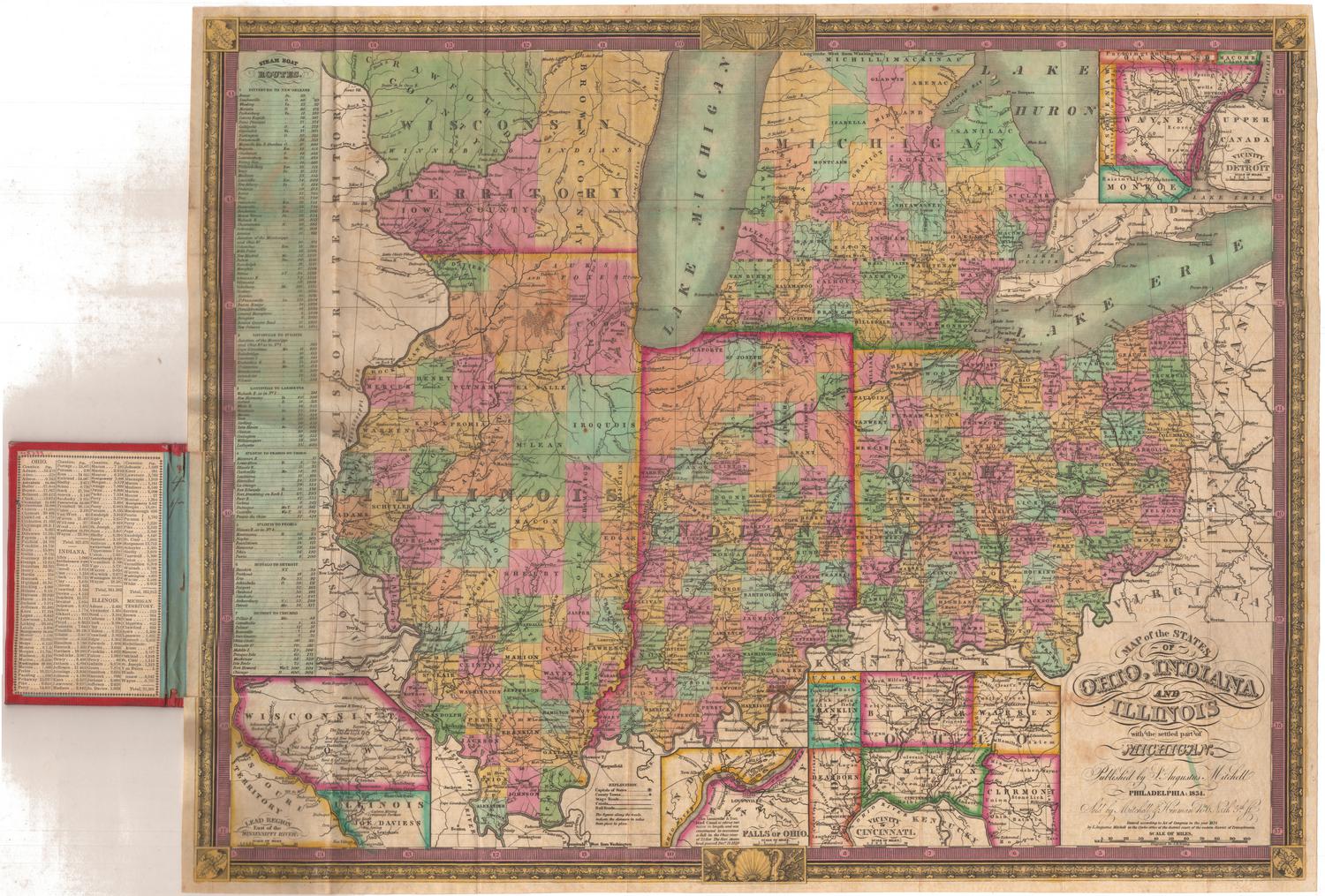
Samuel Augustus Mitchell
1835
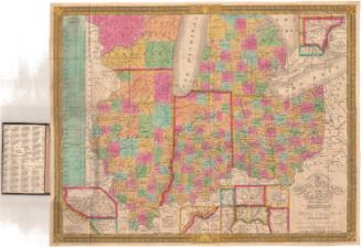
Samuel Augustus Mitchell
1834