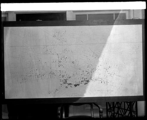
Map of Hartford
PhotographerPhotographed by
William G. Dudley
American, 1877 - 1934
Date1916-1927
MediumPhotography; gelatin emulsion on glass
DimensionsPlate (height x width): 8 x 10in. (20.3 x 25.4cm)
ClassificationsGraphics
Credit LineMuseum purchase
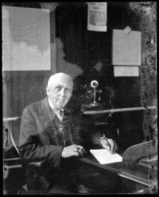
DescriptionA large map is positioned on a chair inside an office. The following inscription appears at the bottom of the map: "Plan of the City of Hartford 1 inch = 400 feet". The fingers of a person standing behind the map to steady it are visible at upper left.
Object number1995.36.1430
On View
Not on view