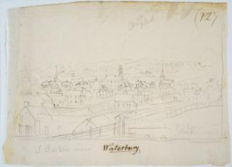
1 of 1
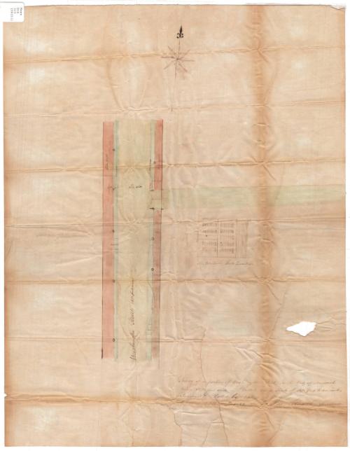
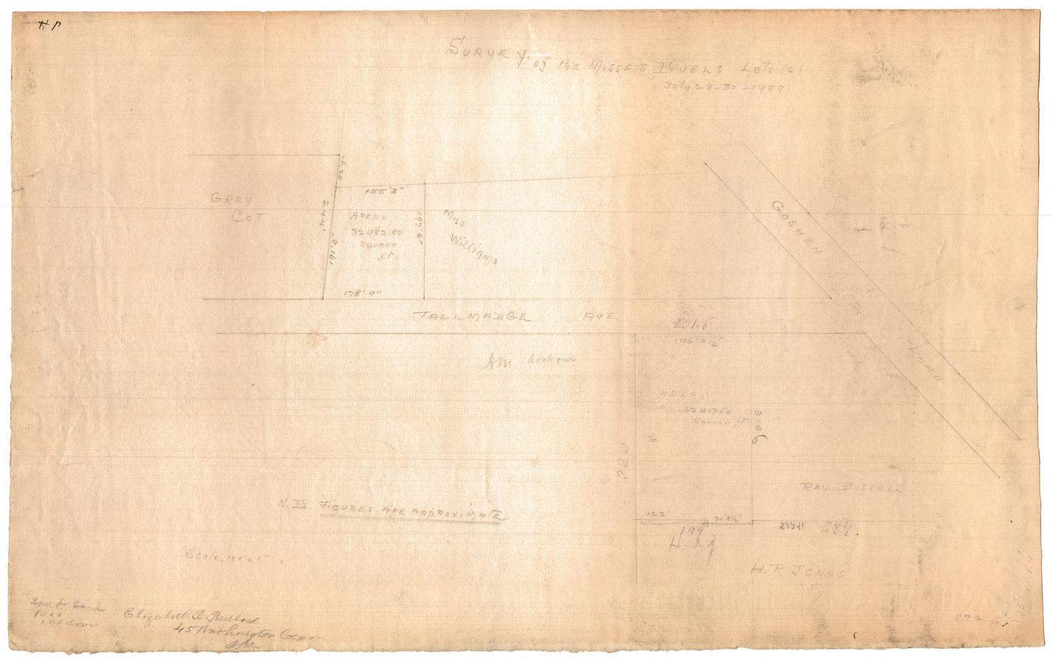
Survey of a portion of Washington Street, in the city of Norwich
SurveyorSurveyed by
Asa Roath
American, 1790 - 1846
DraftsmanDrawn by
Asa Roath
American, 1790 - 1846
Date1841
MediumDrawing; ink and watercolor on wove paper
DimensionsPrimary Dimensions (image height x width): 23 x 18in. (58.4 x 45.7cm)
Sheet (height x width): 23 x 18in. (58.4 x 45.7cm)
Sheet (height x width): 23 x 18in. (58.4 x 45.7cm)
ClassificationsGraphics
Credit LineConnecticut Museum of Culture and History collection
DescriptionMap of Washington Street in the town of Norwich, Connecticut, depicting its shoulders, side walks and intersecting passways. The only building depicted belongs to Hezekiah Lord and is located east of the road. On the west side of the road lies land belonging to William C. Gilman.
Object number2006.130.0
MarkingsRecto, top left corner, printed in black ink on sticker: "Maps / Box / 323 / (99351)"InscribedRecto, bottom right, handwritten in brown ink: "Survey of a portion of Washington Street, in the City of Norwich / being 50 1/2 feet wide--Platted on a scale of 16 1/2 feet to an inch, / Surveyed & Platted by me / Asa Roath, Surveyor / September 14th A.D. 1841."NotesCartographic Note: Scale: 1 inch equals 16 1/2 feet
Collections
- Maps and Charts: Finding Your Place in Connecticut History
On View
Not on view