Maps and Charts: Finding Your Place in Connecticut History

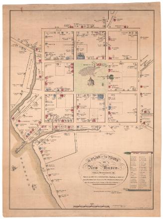
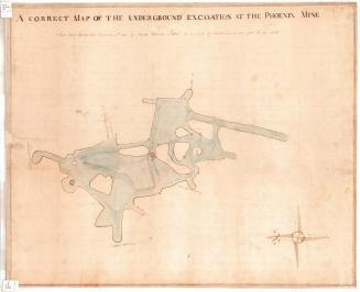
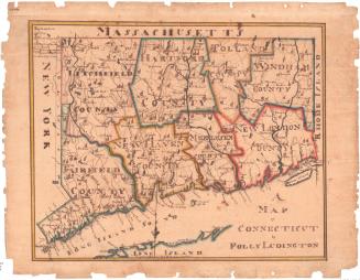
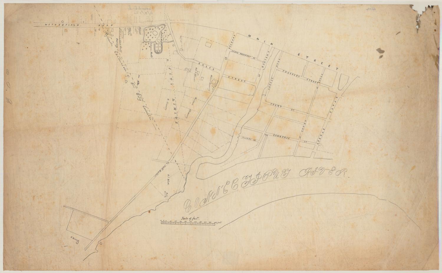
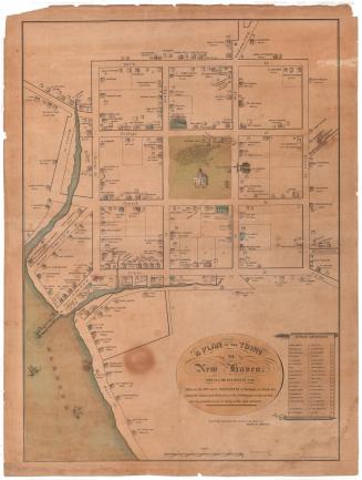
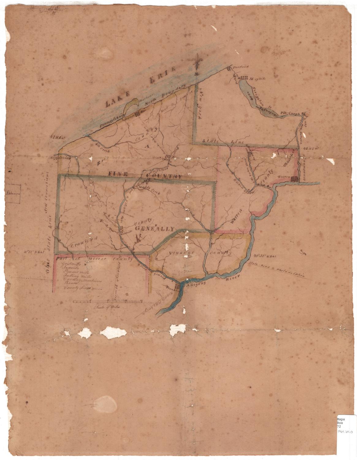
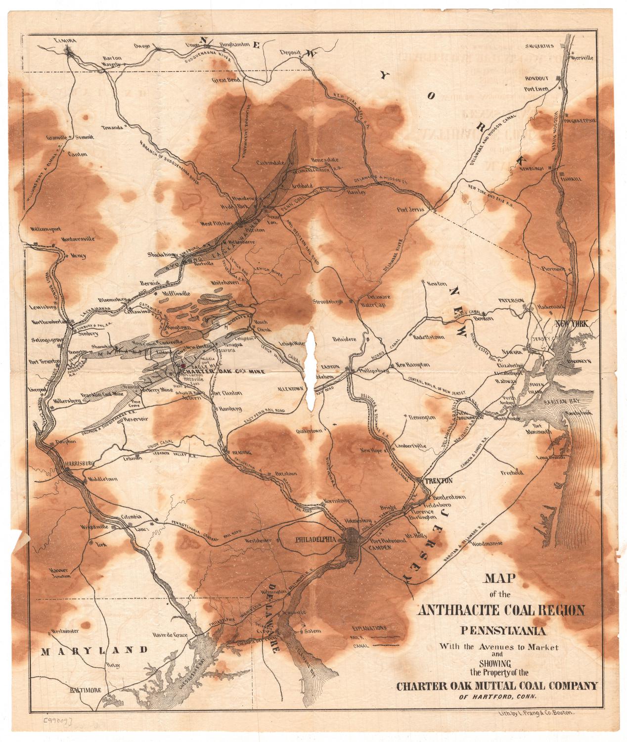
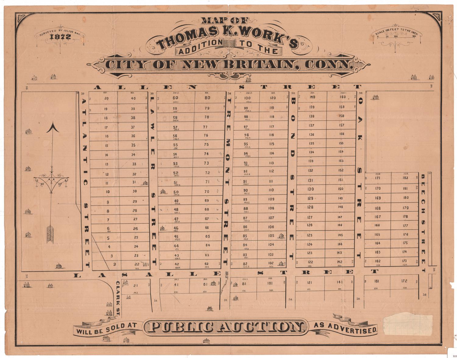
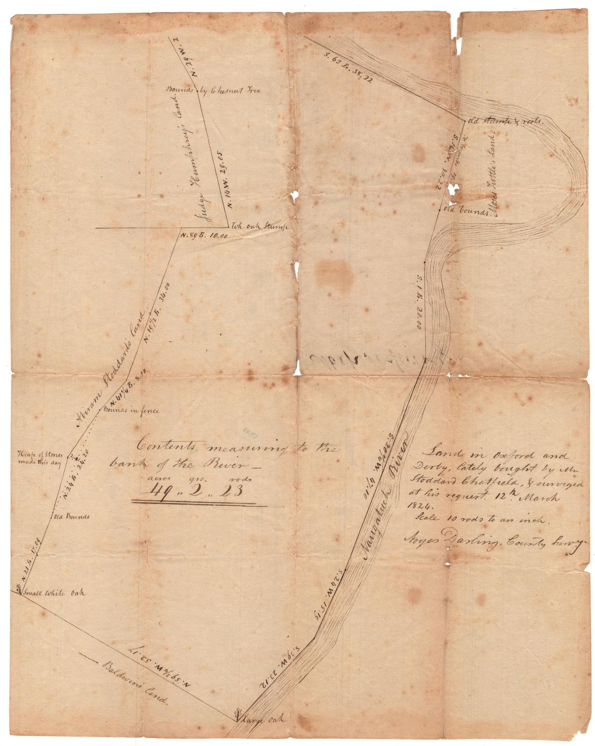
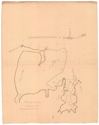
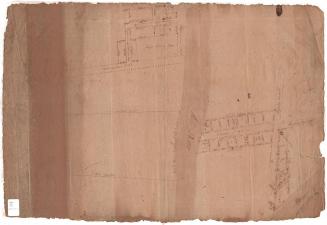
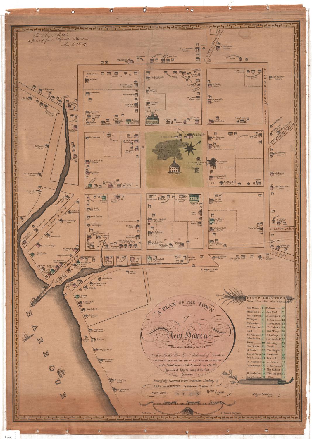
The Connecticut Historical Society has an extensive collection of maps and charts illustrating the history of the state from the seventeenth century through the present. These maps are a rich resource for studying physical and cultural change over time. In addition to maps of Connecticut and New England, the collection also includes early maps of individual Connecticut towns and counties, the Western Reserve, and maps produced by Connecticut surveyors, printers, and publishers. The digitization, cataloging, and re-housing of eight hundred of these important maps and charts has been made possible by generous support from Connecticut Humanities and the William and Alice Mortensen Foundation. NOTE: To see dates of maps, go to the "view list" option. To sort by year, click on "Date" and it will sort in order.