Skip to main content
Collections
People
Favorites
Advanced Search
Search
Objects
(28,138)
People
(7,691)
Close
Refine Results
Classification(s)
*
Graphics
(805)
Collections
*
Maps and Charts: Finding Your Place in Connecticut History
(805)
Kellogg Brothers Lithographs
(1)
Date
to
Department
Visual Collections
(805)
Image Available
On View
Sort:
Relevance
Title (A–Z)
Date (Older First)
Object number (Ascending)
Last Updated (Ascending)
List
Images
Table
Filters
View PDF
805 results for
*
Result type
Objects
People
Graphics
Maps and Charts: Finding Your Place in Connecticut History
Clear All Filters
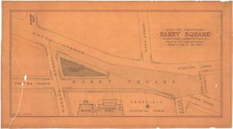
Map of Proposed Barry Square, Hartford, Connecticut
John J. McMahon
1934
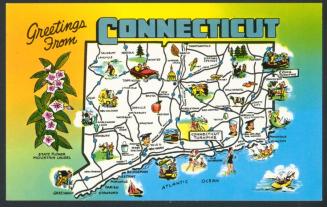
Greetings from Connecticut
Colourpicture Publishers, Inc.
1965-1969
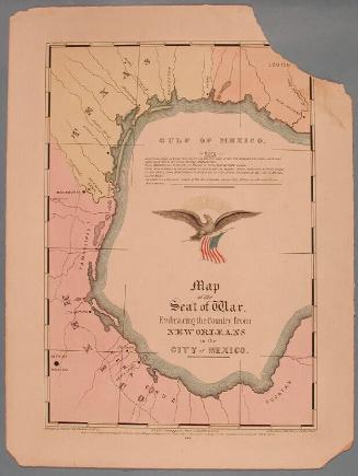
Map of the Seat of War, Embracing the Country from New Orleans to the City of Mexico.
E.B. & E.C. Kellogg
1846
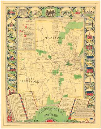
A Cultural and Historical Map of Hartford
Katherine C. Bartholomew
1933
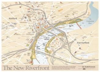
The New Riverfront
Philip Lohman
1999
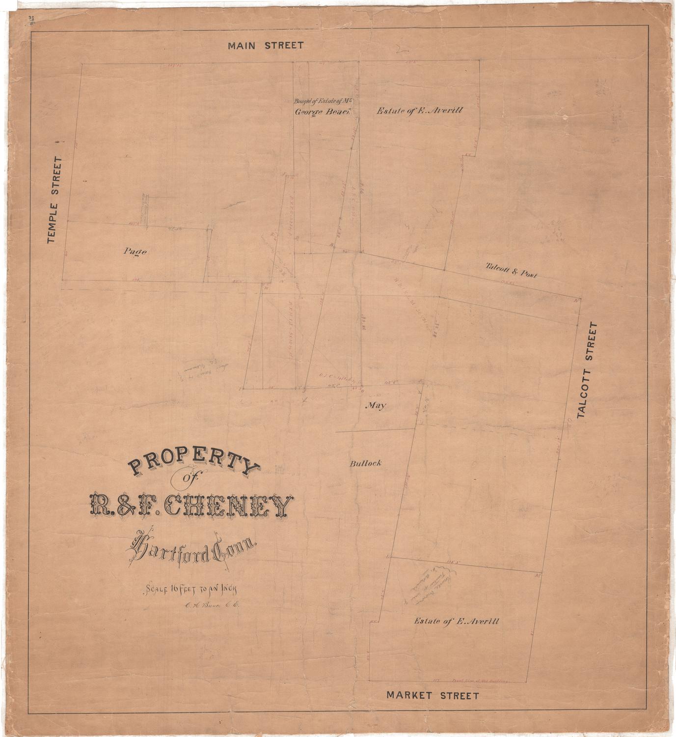
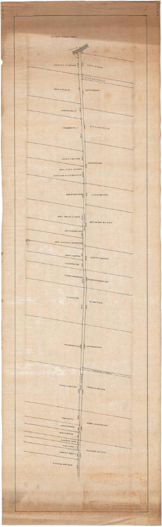
Property of R. & F. Cheney, Hartford, Conn.
Charles E. Bunce
Probably 1875
Image Not Available
for Railway and Highway Map of the Famous Berkshire Hills Region
Railway and Highway Map of the Famous Berkshire Hills Region
Walter Watson
1883
Map of Massachusetts, Connecticut and Rhode Island, Constructed from the Latest Authorities
Brown and Parsons
1847
Map of the Railroads of Connecticut, to Accompany the Report of the Railroad Commissioners
Samuel D. Tilden
1878
Image Not Available
for Interstate 95 Thames River bridges and approaches, New London to Groton
Interstate 95 Thames River bridges and approaches, New London to Groton
James W. Sewell Company
1964
Image Not Available
for Map of the Third Ward, Hartford, Connecticut
Map of the Third Ward, Hartford, Connecticut
Hartford Water Company
1866
Image Not Available
for Map of the Second Ward, Hartford, Connecticut
Map of the Second Ward, Hartford, Connecticut
Hartford Water Company
1866
Image Not Available
for Map of the First Ward, Hartford, Connecticut
Map of the First Ward, Hartford, Connecticut
Hartford Water Company
1866
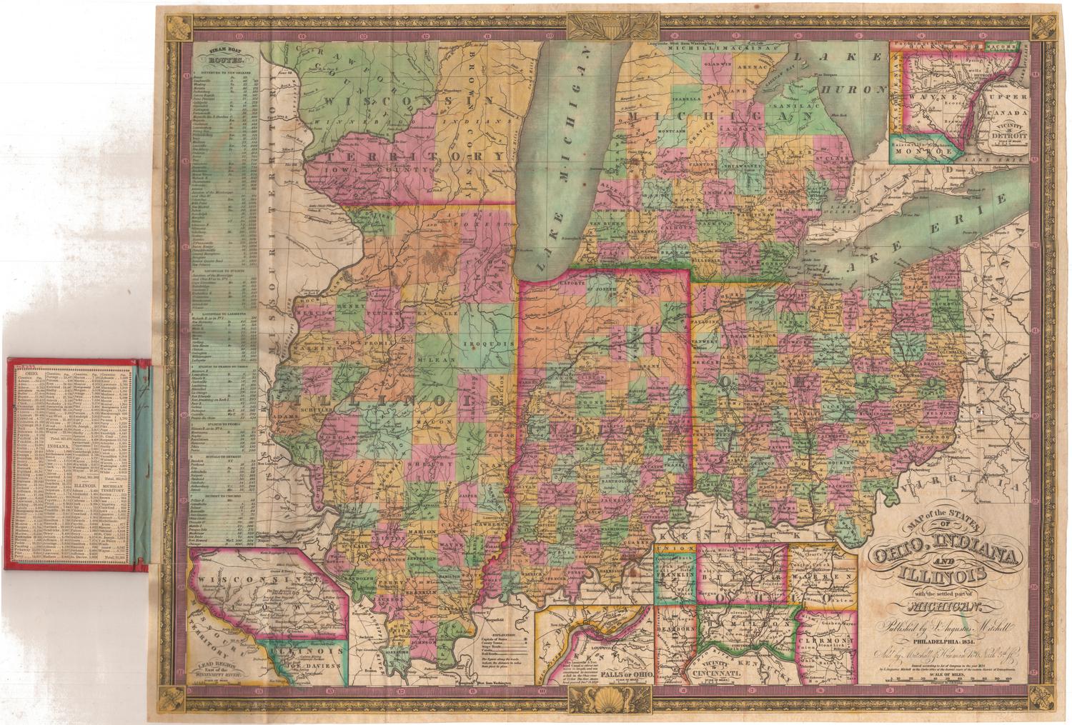
Map of the States of Ohio, Indiana and Illinois, with the settled part of Michigan
Samuel Augustus Mitchell
1834
Image Not Available
for Map Showing Location of Proposed Canal
Map Showing Location of Proposed Canal
Seth E. Marsh
1876
Image Not Available
for Map Showing Location of Water Pipes
Map Showing Location of Water Pipes
Henry W. Ayres
1878
Property on Meadow Road, Hartford
Unknown
about 1900
Image Not Available
for Map of the Fourth Ward, Hartford, Connecticut
Map of the Fourth Ward, Hartford, Connecticut
Hartford Water Company
1866
Image Not Available
for Map Showing Location of Reservoirs and Extent of Watershed for the Hartford Water Works
Map Showing Location of Reservoirs and Extent of Watershed for the Hartford Water Works
Seth E. Marsh
1875
Image Not Available
for Map Showing Location of Reservoirs in West Hartford
Map Showing Location of Reservoirs in West Hartford
Seth E. Marsh
after 1874
Image Not Available
for Watershed of Nepaug Reservoir
Watershed of Nepaug Reservoir
Board of Water Commissioners, City of Hartford
1920
Image Not Available
for Map Showing Topography in Salmon Brook Valley
Map Showing Topography in Salmon Brook Valley
William E. Johnson
1898
Image Not Available
for Map Showing Plan of Proposed Pipeline Connecting Reservoir No. 4 with the Distributing System
Map Showing Plan of Proposed Pipeline Connecting Reservoir No. 4 with the Distributing System
William E. Johnson
1901
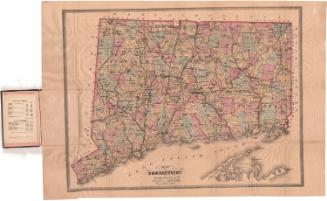
Map of Connecticut
Kellogg & Bulkeley
1875
Next Page