Skip to main content
Collections
People
Favorites
Advanced Search
Currently indexing
Search
Objects
(28,058)
People
(7,658)
Close
Refine Results
Classification(s)
Graphics
(805)
Equipment
(1)
Hardware
(1)
Collections
*
Maps and Charts: Finding Your Place in Connecticut History
(807)
Kellogg Brothers Lithographs
(1)
Date
to
Department
Visual Collections
(807)
Image Available
On View
Sort:
Relevance
Title (A–Z)
Date (Older First)
Object number (Ascending)
Last Updated (Ascending)
List
Images
Table
Filters
View PDF
807 results for
*
Result type
Objects
People
Maps and Charts: Finding Your Place in Connecticut History
Clear All Filters
Ancient Windham County
J. H. Bufford's Sons
1874
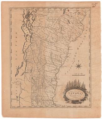
Vermont from Actual Survey
Amos Doolittle
1795
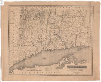
Conneticut with Portions of New York and Rhode Island
J. H. Colton & Co.
1855
Granger Mills on the Connecticut River
Unknown
1794
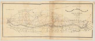
Survey of Hartford and Springfield Rail Road
James N. Palmer
1841
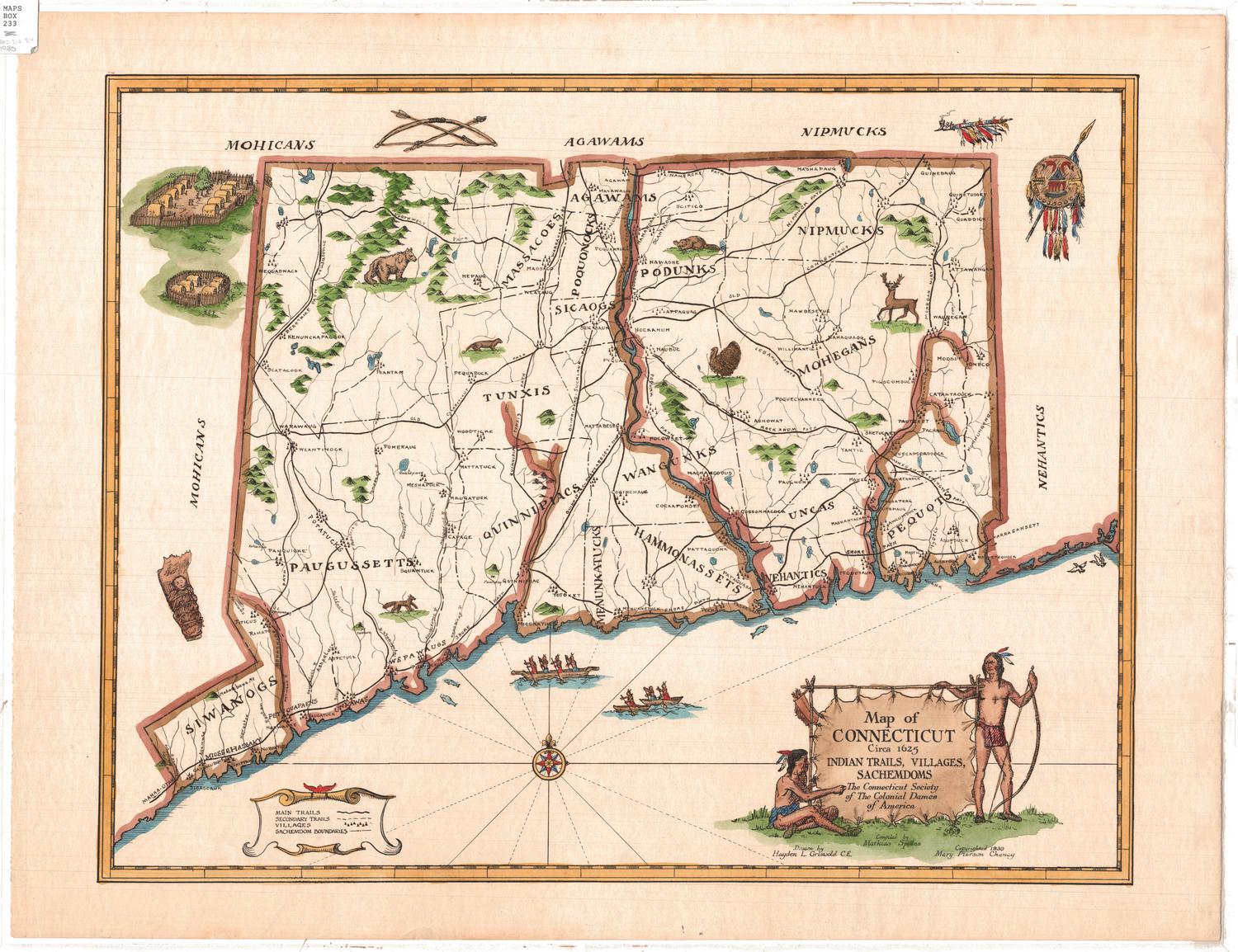
Map of Connecticut circa 1625: Indian Trails, Villages, Sachemdoms
Mathias Spiess
1930
Map of Connecticut Circa 1625: Indian Trails, Villages
Mathias Spiess
1976
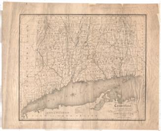
Connecticut
Moses Warren Jr.
1820
Connecticut
State Department of Health
after 1921
Map of Connecticut showing counties, congressional and senatorial districts and towns
Kellogg & Bulkeley
1915-1920
New Map of Connecticut
Samuel D. Tilden
1879
Connecticut State Park Picture Plan
Connecticut Forest and Park Association
1929
Map of Connecticut showing counties, congressional and senatorial districts and towns.
Kellogg & Bulkeley
1910-1915
Connecticut
Moses Warren Jr.
1820
Map of the State of Connecticut showing Indian Trails, Villages, & Sachemdoms
Mathias Spiess
1930
Connecticut
Moses Warren Jr.
1842
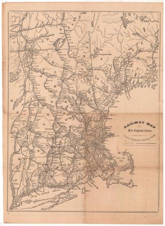
Railway map of the New England States
George K. Snow & Bradlee
1873
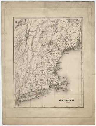
New England in 1689
Arnold Guyot
1858
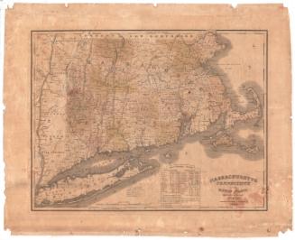
Massachusetts, Connecticut and Rhode Island Constructed from the Latest Authorities
H. F. Sumner & Co.
1833
A Map of Sacketts Harbour
Patrick May
1815
A New Map of Connecticut from the best Authorities
Alexander Anderson
1799
Map of the headwaters of the Aroostook, Penobscot and Saint Johns Rivers, Maine
Thomas Sedgwick Steele
1881
Parts of New England, New York State, and Canada
Unknown
early 19th century
To His Excellency William Shirley, Esqr. Capt. General & Govr. in Chief in & over his Majesty's Province of ye Massachusetts Bay in New England Major General & Commander in Chief of all his Majesty's Land forces in North America. And to ye Legislators of ye Several Provinces Concerned in ye Expedition to Crown Point. This plan of Hudsons River from Albany to Fort Edward...
Thomas Johnston
1756
Next Page