Skip to main content
Collections
People
Favorites
Advanced Search
Currently indexing
Search
Objects
(28,013)
People
(7,658)
Close
Refine Results
Classification(s)
Graphics
(805)
Equipment
(1)
Hardware
(1)
Collections
*
Maps and Charts: Finding Your Place in Connecticut History
(807)
Kellogg Brothers Lithographs
(1)
Date
to
Department
Visual Collections
(807)
Image Available
On View
Sort:
Relevance
Title (A–Z)
Date (Older First)
Object number (Ascending)
Last Updated (Ascending)
List
Images
Table
Filters
View PDF
807 results for
*
Result type
Objects
People
Maps and Charts: Finding Your Place in Connecticut History
Clear All Filters
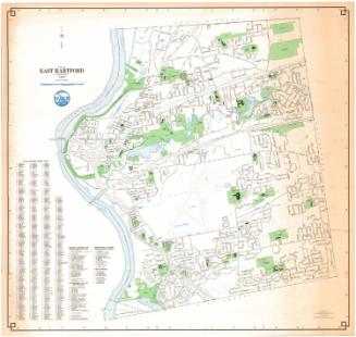
Town of East Hartford, Connecticut
Metropolitan District Commission
1977
Town of Bloomfield, Connecticut
Metropolitan District Commission
1977
Town of Windsor, Connecticut
Metropolitan District Commission
1977
Geodetic and Topographical Survey Map of East Hartford, Connecticut
Metropolitan District Commission
1972
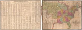
Map of the United States Constructed from the Latest Authorities
C. S. Williams
1833
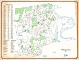
Town of Wethersfield, Connecticut
Metropolitan District Commission
1977
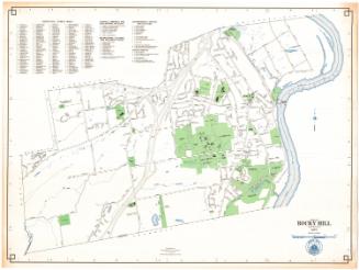
Town of Rocky Hill, Connecticut
Metropolitan District Commission
1977
City of Hartford, Connecticut
Metropolitan District Commission
1977
Image Not Available
for The World
The World
Joseph Hutchins Colton
1851
A Reference & Distance Map of the State of New York
Sidney Babcock
1831
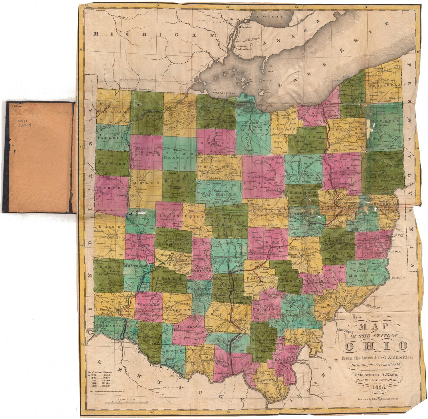
Map of the State of Ohio from the latest and best Authorities; Including the census of 1830
Abner Reed
1835
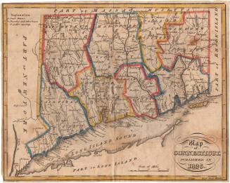
Map of Connecticut, Published in 1826
Alexander Anderson
1826
Image Not Available
for A Map of the Most Inhabited Part of New England
A Map of the Most Inhabited Part of New England
Braddock Mead
1774
Image Not Available
for New Map of Connecticut
New Map of Connecticut
Samuel D. Tilden
1876
Image Not Available
for Driving Road Chart of Hartford and Vicinity, 15 Miles around
Driving Road Chart of Hartford and Vicinity, 15 Miles around
Packard, Butler & Partridge
1884
Map of Connecticut, Western Part
Geo. H. Walker & Co.
1905
Image Not Available
for 12,000 Square Miles around New York City from New Haven to Trenton, from Long Branch to the Catskills
12,000 Square Miles around New York City from New Haven to Trenton, from Long Branch to the Catskills
H. H. Lloyd & Co.
1866
Colton's Connecticut with portions of New York and Rhode Island
G.W. & C.B. Colton & Co.
1867
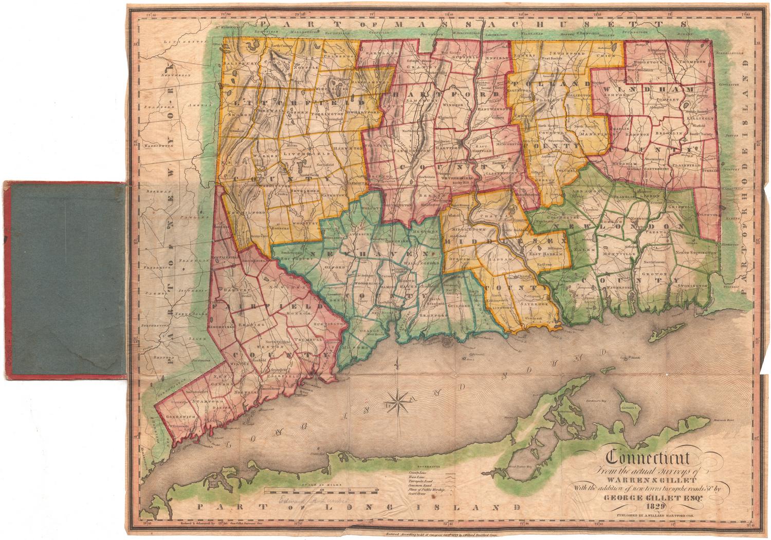
Connecticut from the Actual Surveys of Warren & Gillet
Moses Warren Jr.
1829
Image Not Available
for Ye Burying Place
Ye Burying Place
Albert L. Washburn
1899
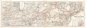
Map of the Erie Railway with its Connections
G.W. & C.B. Colton & Co.
1869
Town of Wethersfield, Connecticut
Metropolitan District Commission
1976
Image Not Available
for Town of Windsor, Connecticut
Town of Windsor, Connecticut
Metropolitan District Commission
1976
Image Not Available
for A Celestial Planisphere, or, Map of the Heavens
A Celestial Planisphere, or, Map of the Heavens
Vistus Balch
1861
Next Page