Skip to main content
Collections
People
Favorites
Advanced Search
Currently indexing
Search
Objects
(28,058)
People
(7,659)
Close
Refine Results
Classification(s)
Graphics
(805)
Equipment
(1)
Hardware
(1)
Collections
*
Maps and Charts: Finding Your Place in Connecticut History
(807)
Kellogg Brothers Lithographs
(1)
Date
to
Department
Visual Collections
(807)
Image Available
On View
Sort:
Relevance
Title (A–Z)
Date (Older First)
Object number (Ascending)
Last Updated (Ascending)
List
Images
Table
Filters
View PDF
807 results for
*
Result type
Objects
People
Maps and Charts: Finding Your Place in Connecticut History
Clear All Filters
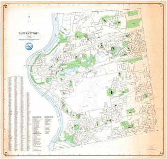
Town of East Hartford, Connecticut
Metropolitan District Commission
1977
Town of Bloomfield, Connecticut
Metropolitan District Commission
1977
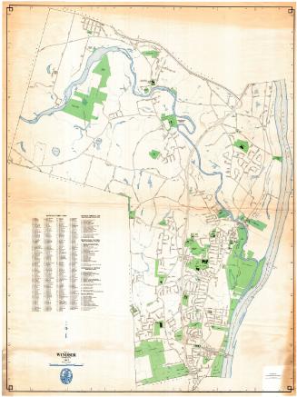
Town of Windsor, Connecticut
Metropolitan District Commission
1977
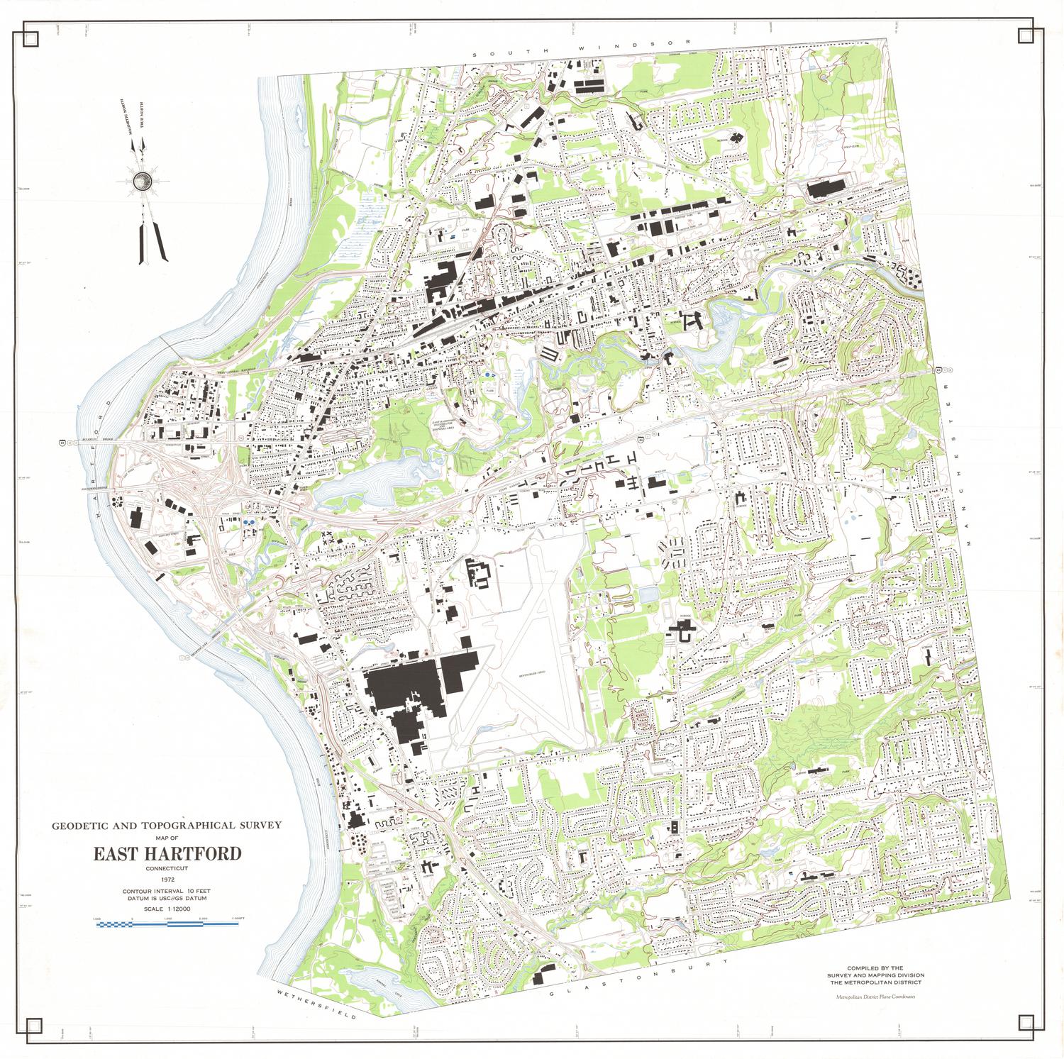
Geodetic and Topographical Survey Map of East Hartford, Connecticut
Metropolitan District Commission
1972
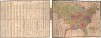
Map of the United States Constructed from the Latest Authorities
C. S. Williams
1833
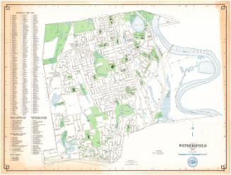
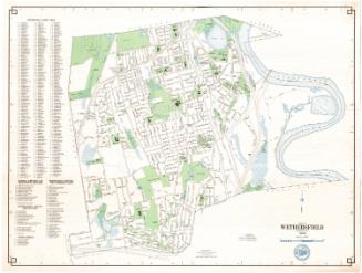
Town of Wethersfield, Connecticut
Metropolitan District Commission
1977
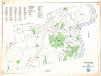
Town of Rocky Hill, Connecticut
Metropolitan District Commission
1977
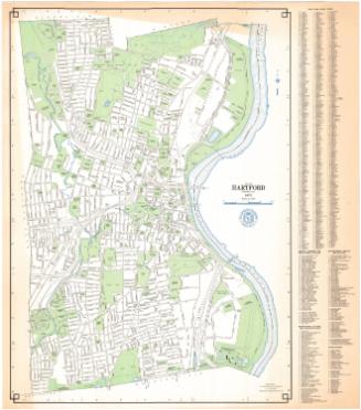
City of Hartford, Connecticut
Metropolitan District Commission
1977
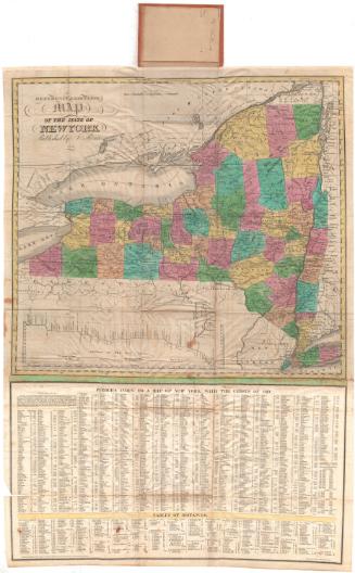
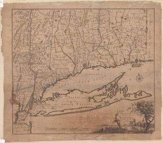
A Reference & Distance Map of the State of New York
Sidney Babcock
1831
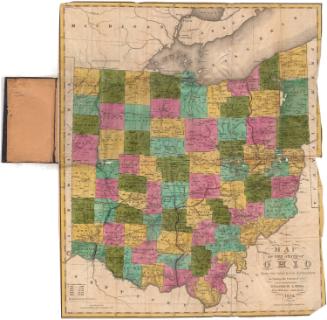
Map of the State of Ohio from the latest and best Authorities; Including the census of 1830
Abner Reed
1835
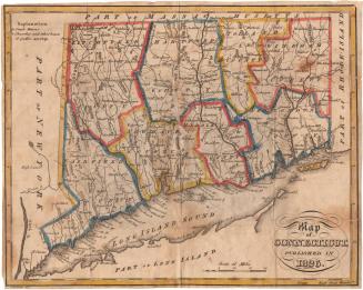
Map of Connecticut, Published in 1826
Alexander Anderson
1826
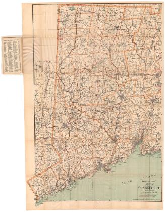
Map of Connecticut, Western Part
Geo. H. Walker & Co.
1905
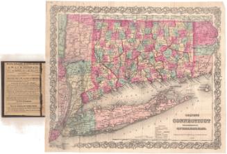
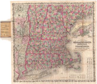
Colton's Connecticut with portions of New York and Rhode Island
G.W. & C.B. Colton & Co.
1867
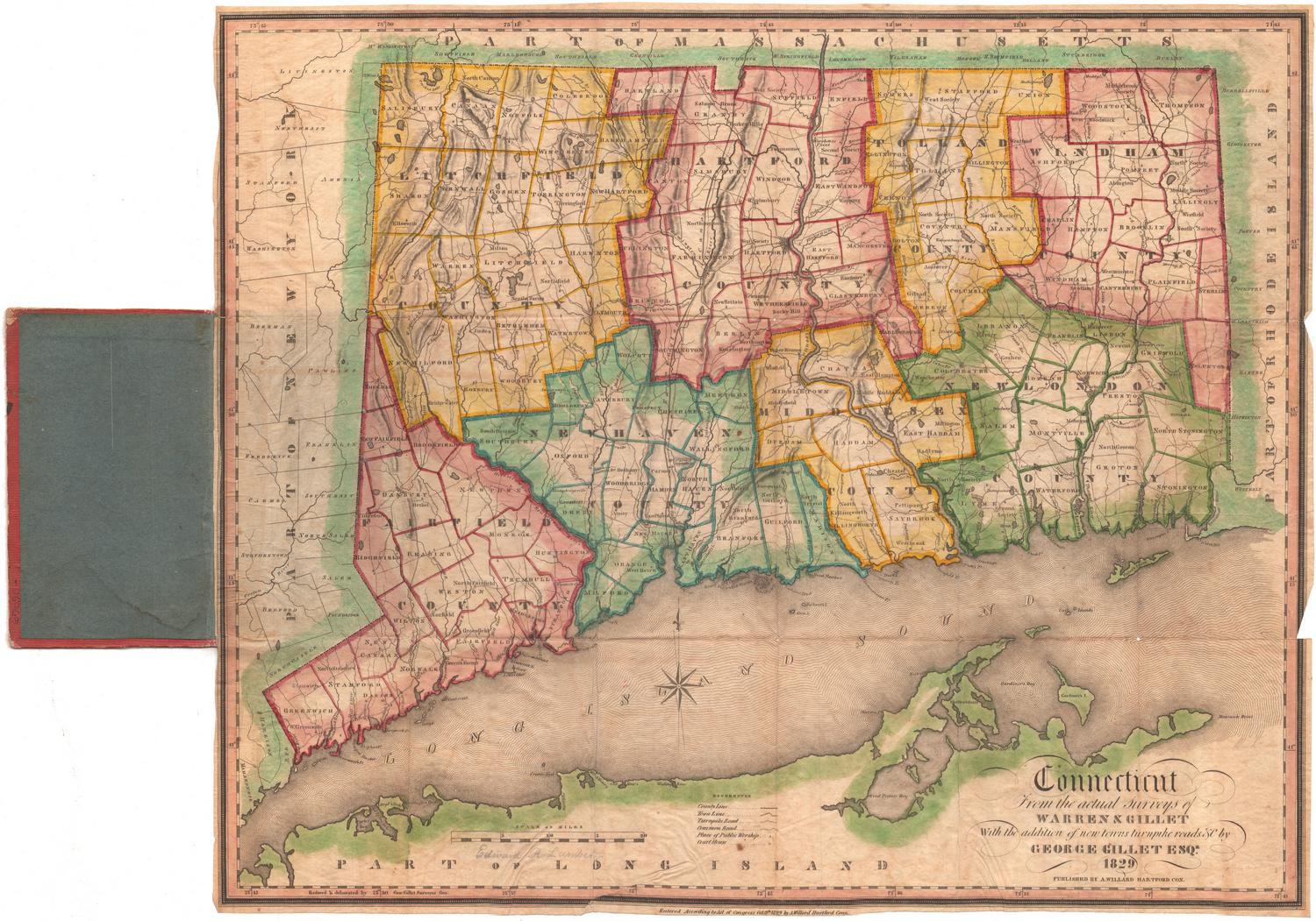
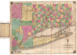
Connecticut from the Actual Surveys of Warren & Gillet
Moses Warren Jr.
1829
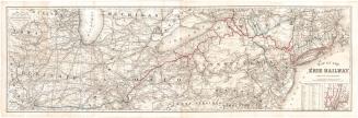
Map of the Erie Railway with its Connections
G.W. & C.B. Colton & Co.
1869
Town of Wethersfield, Connecticut
Metropolitan District Commission
1976
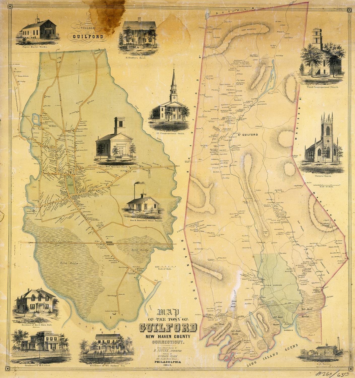
Map of the Town of Guilford, New Haven County, Connecticut
H. Irvine
1852
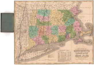
The States of Massachusetts, Connecticut and Rhode Island From the best Authorities
Andrus & Judd
1834
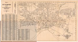
Map of City of Hartford
Connecticut Valley Guide Co.
1927
Colton's Tourist Guide Map of Massachusetts, Rhode Island and Connecticut, with Parts of Maine, New Hampshire, Vermont and New York
G.W. & C.B. Colton & Co.
1866
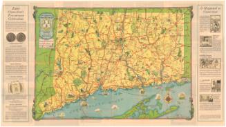
Tercentenary Map of Connecticut
John F. Butler
1935
The State of Connecticut including parts of New York and New Jersey
Roderick Nevers
1852
Connecticut and Parts Adjacent
Hendrik Klockhoff
1780
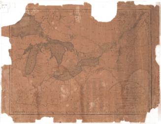
Map of Upper and Lower Canada and United States, contiguous
Thomas Kensett
1812
Next Page