Skip to main content
Collections
People
Favorites
Advanced Search
Currently indexing
Search
Objects
(23,532)
People
(7,658)
Close
Refine Results
Classification(s)
Graphics
(356)
Collections
*
Maps and Charts: Finding Your Place in Connecticut History
(356)
Kellogg Brothers Lithographs
(1)
Date
to
Department
Visual Collections
(356)
Image Available
On View
Sort:
Relevance
Title (A–Z)
Date (Older First)
Object number (Ascending)
Last Updated (Ascending)
List
Images
Table
Filters
View PDF
356 results for
*
Result type
Objects
People
Maps and Charts: Finding Your Place in Connecticut History
Clear All Filters
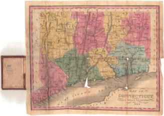
Map of Connecticut
Willis Thrall
1834
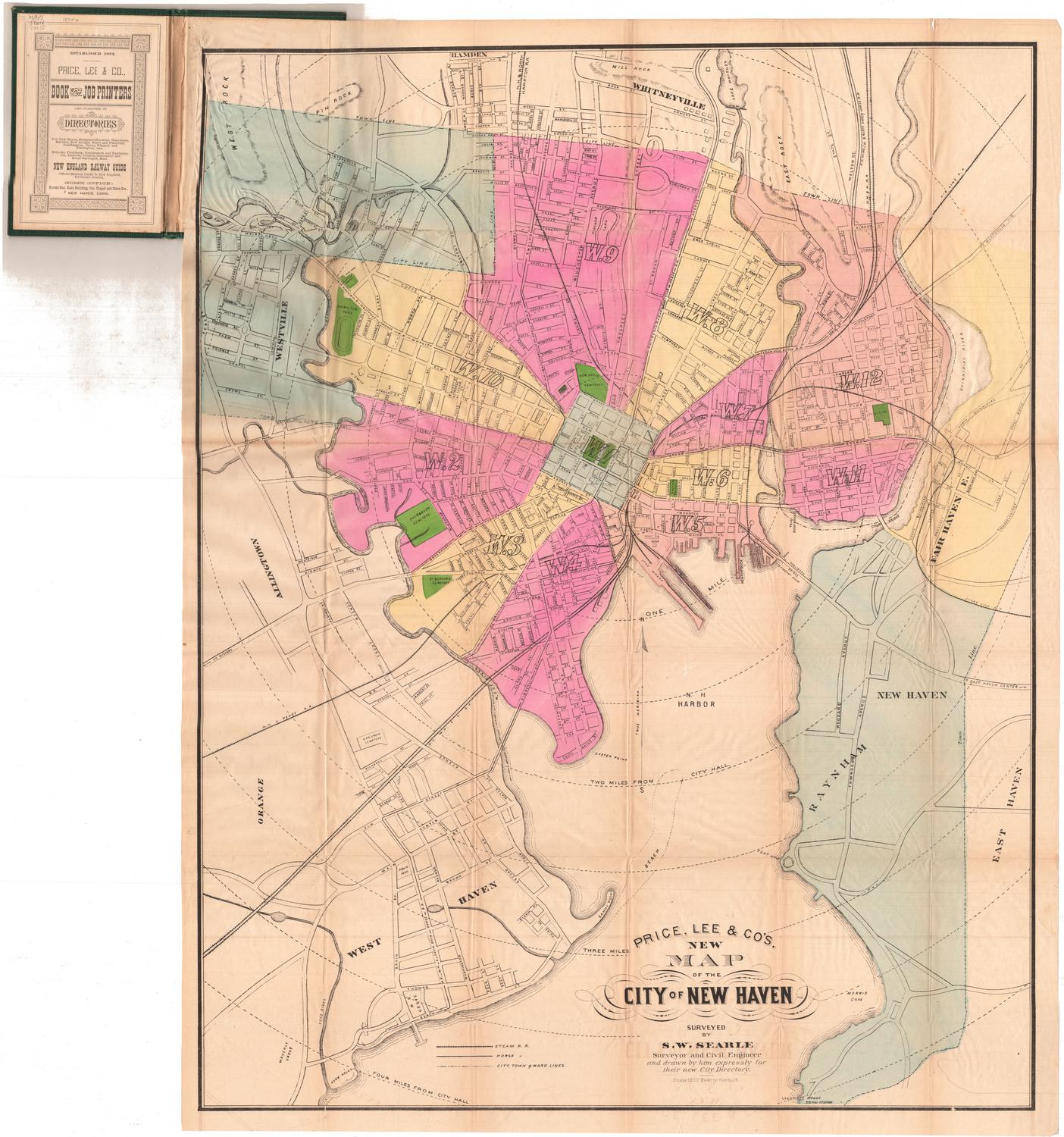
Price, Lee & Co.'s New Map of the City of New Haven
Silus W. Searle
after 1873
Map of the State of Ohio From the latest and best Authorities; Including the Census of 1830
Abner Reed
1831
Image Not Available
for Colton's Railroad and Township Map of Massachusetts, Rhode Island and Connecticut
Colton's Railroad and Township Map of Massachusetts, Rhode Island and Connecticut
J. H. Colton & Co.
1854
Map of Connecticut from actual Survey
Brown and Parsons
1848
Colton's Connecticut, with portions of New York and Rhode Island
G.W. & C.B. Colton & Co.
1868
Image Not Available
for Map of Connecticut, Issued in Commemoration of the State's Tercentenary
Map of Connecticut, Issued in Commemoration of the State's Tercentenary
John Held Jr.
1935
Map of Massachusetts, Connecticut and Rhode Island
Brown and Parsons
1838
Post Route Map of the States of New Hampshire, Vermont, Massachusetts, Rhode Island, Connecticut and parts of New York and Maine
William L. Nicholson
1882
Image Not Available
for Vermont
Vermont
Moody M. Peabody
before 1824
Image Not Available
for The State of Connecticut with all the New Towns Including Parts of New York and New Jersey
The State of Connecticut with all the New Towns Including Parts of New York and New Jersey
Lucius Stebbins & Co.
1859
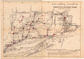
Blum's Commerical Travelers' Map of Connecticut and Rhode Island
Blum's Commercial Map Publishing Company
1927-1928
Image Not Available
for New Map of Hartford from the Latest Surveys
New Map of Hartford from the Latest Surveys
Kellogg & Bulkeley
1877
Map of the City of Bridgeport, Conn.
Sidney & Neff
1850
Map of New Milford, Litchfield, County, Connecticut
Lawrence Fagan
1853
Map of the Boroughs of Danbury and Bethel, Fairfield County, Conn.
D. McCarthy
about 1855
West Hartford, Connecticut, Town Map
West Hartford Chamber of Commerce
1976
Map of Connecticut
Willis Thrall
1834
Map of New Haven, Connecticut, and Vicinity
Interstate Publishing Co., Inc.
before 1962
Image Not Available
for Hartford
Hartford
Guyde Publishing Company
1945
Champion Map of Hartford, Connecticut and vicinity
David J. Bennett
1972-1975
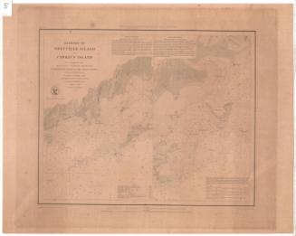
Harbors of Sheffield Island and Cawkins Island
United States Coast Survey
1848
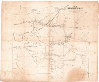
Map of Manchester, Conn.
Eli Bissell
1849
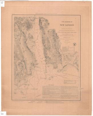
The Harbor of New London
United States Coast Survey
1848
Next Page