Skip to main content
Collections
People
Favorites
Advanced Search
Search
Objects
(28,161)
People
(7,699)
Close
Refine Results
Classification(s)
Graphics
(805)
Equipment
(1)
Hardware
(1)
Collections
*
Maps and Charts: Finding Your Place in Connecticut History
(807)
Kellogg Brothers Lithographs
(1)
Date
to
Department
Visual Collections
(807)
Image Available
On View
Sort:
Relevance
Title (A–Z)
Date (Older First)
Object number (Ascending)
Last Updated (Ascending)
List
Images
Table
Filters
View PDF
807 results for
*
Result type
Objects
People
Maps and Charts: Finding Your Place in Connecticut History
Clear All Filters
Image Not Available
for Ye Burying Place
Ye Burying Place
Albert L. Washburn
1899
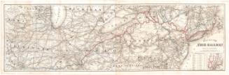
Map of the Erie Railway with its Connections
G.W. & C.B. Colton & Co.
1869
Town of Wethersfield, Connecticut
Metropolitan District Commission
1976
Image Not Available
for Town of Windsor, Connecticut
Town of Windsor, Connecticut
Metropolitan District Commission
1976
Image Not Available
for A Celestial Planisphere, or, Map of the Heavens
A Celestial Planisphere, or, Map of the Heavens
Vistus Balch
1861
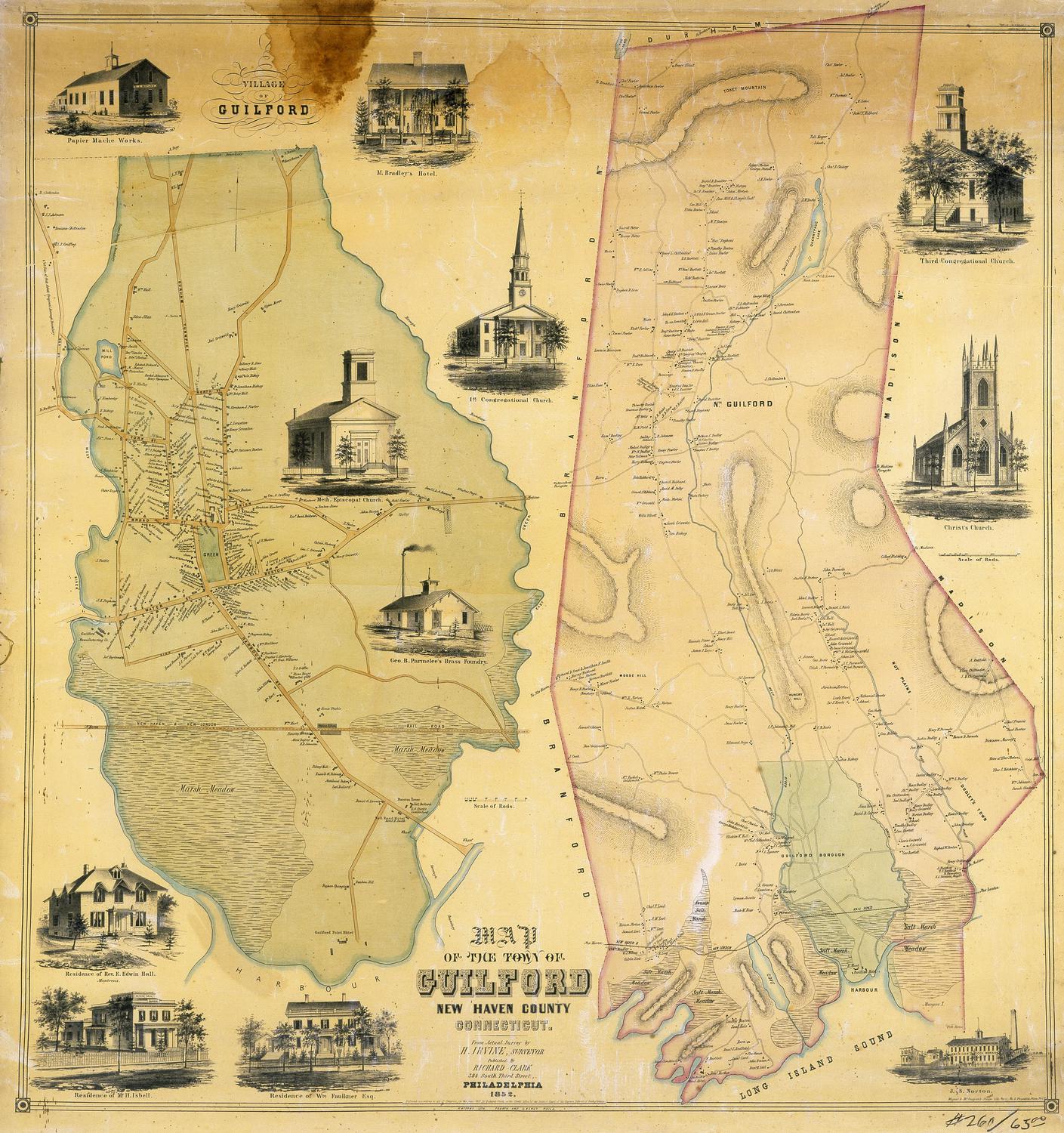
Map of the Town of Guilford, New Haven County, Connecticut
H. Irvine
1852
Image Not Available
for Map of New Haven County
Map of New Haven County
H. & C. T. Smith
1856
The States of Massachusetts, Connecticut and Rhode Island From the best Authorities
Andrus & Judd
1834
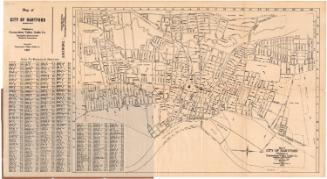
Map of City of Hartford
Connecticut Valley Guide Co.
1927
Colton's Tourist Guide Map of Massachusetts, Rhode Island and Connecticut, with Parts of Maine, New Hampshire, Vermont and New York
G.W. & C.B. Colton & Co.
1866
Tercentenary Map of Connecticut
John F. Butler
1935
The State of Connecticut including parts of New York and New Jersey
Roderick Nevers
1852
Image Not Available
for Carte de la partie septentrionale des Etats Unis
Carte de la partie septentrionale des Etats Unis
Pierre Francois Tardieu
late 18th century
Image Not Available
for Connecticut Railroads
Connecticut Railroads
Rand, McNally & Co.
before 1986
Image Not Available
for Map of Newington, Connecticut
Map of Newington, Connecticut
P. N. Agogliati
1961
Connecticut and Parts Adjacent
Hendrik Klockhoff
1780
Map of Upper and Lower Canada and United States, contiguous
Thomas Kensett
1812
Map of Upper and Lower Canada and United States, contiguous
Thomas Kensett
1812
Image Not Available
for Map of Newington, Connecticut
Map of Newington, Connecticut
P. N. Agogliati
1949
Plan of the City of Hartford from a Survey made in 1824
Nathaniel Goodwin
1824
Image Not Available
for Connecticut and Parts Adjacent
Connecticut and Parts Adjacent
Bernard Romans
1777
A Map of Norwich, from actual survey
William Lester Jr.
1833
The State of New York from the Most Recent Surveys
Eleazer Huntington
1833
Plan of the City of Hartford from a Survey made in 1824
Nathaniel Goodwin
1824
Next Page